Landmark: Parque General San Martín
City: Mendoza
Country: Argentina
Continent: South America
Parque General San Martín, Mendoza, Argentina, South America
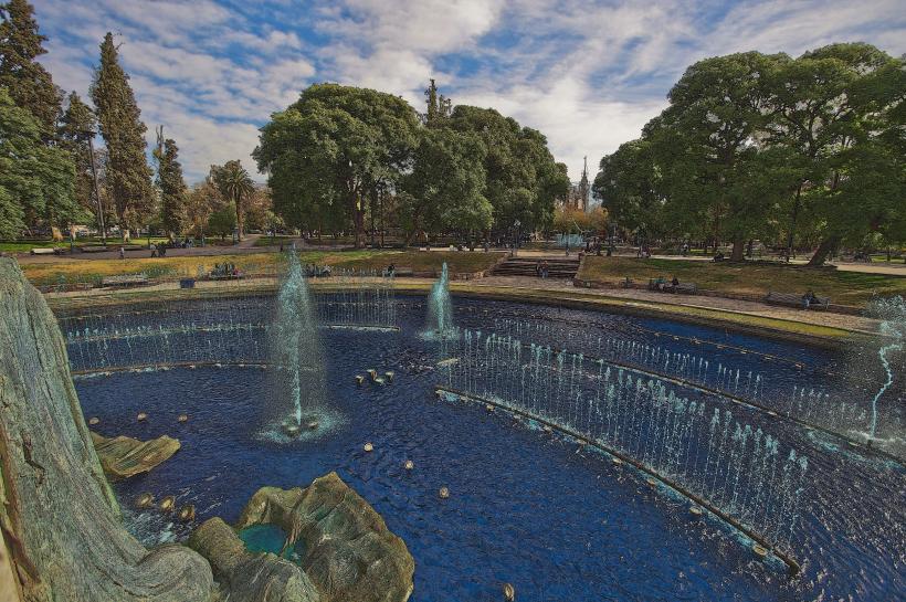
Parque General San Martín is a large urban park located in Mendoza, Argentina. It serves as a primary recreational and green space for the city.
Visual Characteristics
The park covers approximately 300 hectares. It features a large artificial lake, the Lago del Parque, with a central island. The landscape includes a diverse range of trees, many of which are deciduous species adapted to the arid climate, providing significant shade. Pathways are paved, and several stone structures, including bridges and fountains, are present. The park's topography is generally flat with some gentle undulations.
Location & Access Logistics
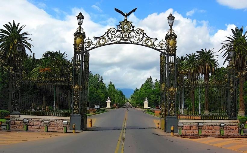
Parque General San Martín is situated west of Mendoza's city center. Access is directly from Avenida San Martín, which forms its eastern boundary. The park is approximately 3km from the Plaza Independencia, the central square of Mendoza. Ample parking is available along the park's perimeter roads, particularly on Avenida San Martín and Avenida de los Plátanos. Public transport is readily accessible; bus lines 10, 11, and 12 stop along Avenida San Martín, providing direct access to multiple park entrances.
Historical & Ecological Origin
The park's design and construction began in 1896, with significant development occurring under the direction of landscape architect Carlos Thays. Its original purpose was to provide a green lung for the growing city and to manage water resources for irrigation. Ecologically, the park is an example of xeriscaping and the introduction of drought-tolerant species, adapted to the semi-arid environment of Mendoza.
Key Highlights & Activities
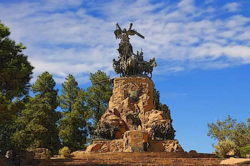
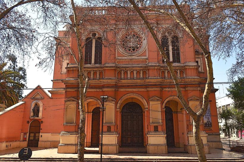
Activities include walking and cycling on the paved paths. Boating is available on the Lago del Parque. The park contains the Rosedal (Rose Garden), a botanical garden section, and the Monumento a la Bandera. The Cerro de la Gloria, a prominent hill within the park, offers panoramic views of the city and surrounding Andes mountains. The Amphitheater Frank Romero Day is also located within the park boundaries.
Infrastructure & Amenities
Restrooms are located at various points throughout the park, particularly near the lake and main entrances. Numerous shaded areas are provided by mature trees. Cell phone signal (4G/5G) is generally strong within the park. Food vendors and small kiosks are present near the main attractions and entrances, offering snacks and beverages.
Best Time to Visit
For photography, early morning (7:00 AM - 9:00 AM) offers soft, direct sunlight on the eastern side of the park and the lake. Late afternoon (4:00 PM - 6:00 PM) provides favorable lighting for the western sections and the Cerro de la Gloria. The best months for weather are from September to May, avoiding the colder winter months. No specific tide requirements apply.
Facts & Legends
A notable historical oddity is the presence of the "Laguna del Viborón," a section of the park designed to simulate a serpent's body, reflecting the park's early symbolic landscaping. The park's irrigation system, a critical component for its survival in the arid climate, is a testament to early 20th-century engineering.
Nearby Landmarks
- 0.8km East: Plaza Independencia (City Center)
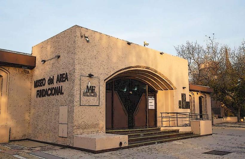
- 1.5km Northeast: Museo del Área Fundacional
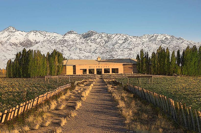
- 2.0km North: Bodega Escorihuela Gascón
- 3.5km Southeast: Estadio Malvinas Argentinas