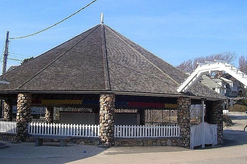
Landmark: Misquamicut State Beach
City: Westerly
Country: USA Rhode Island
Continent: North America
Misquamicut State Beach, Westerly, USA Rhode Island, North America
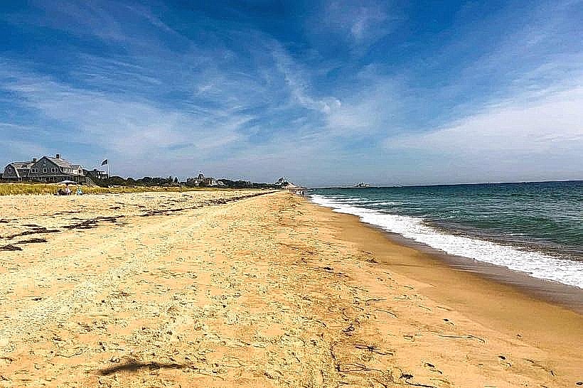
Misquamicut State Beach is a public beach located in Westerly, Rhode Island. It is situated along the Atlantic coastline of southern Rhode Island.
Visual Characteristics
The beach features approximately 3.5 miles of sandy shoreline. The sand is primarily fine-grained and light brown. The water color varies from light blue to green depending on weather conditions. Dune vegetation, including sea grass, is present behind the primary beach area.
Location & Access Logistics
Misquamicut State Beach is located approximately 5 miles west of Westerly's town center. Access is via State Route 1A (Atlantic Avenue). Parking is available in designated lots, with fees typically charged during the peak season (Memorial Day to Labor Day). Public transportation options are limited; seasonal bus services may operate to the general area, but direct routes to the beach entrance are not guaranteed. The nearest Amtrak station is in Westerly, requiring onward travel by taxi or ride-share.
Historical & Ecological Origin
The area's sandy coastline is a result of glacial and post-glacial processes, with ongoing erosion and deposition shaping the shoreline. The beach is part of the larger coastal plain ecosystem of southern New England.
Key Highlights & Activities
Activities include swimming, sunbathing, and beachcombing. Designated areas are available for surfing. Fishing is permitted in specific zones. Lifeguard services are provided during the summer season.
Infrastructure & Amenities
Restrooms and changing facilities are available. Picnic tables and grills are located in designated areas. Some shaded pavilions are present. Cell phone signal (4G/5G) is generally available. Food vendors and concessions are typically located near the main parking areas.
Best Time to Visit
For swimming and sunbathing, the months of July and August offer the warmest water temperatures and most consistent sunny weather. Early morning or late afternoon provides softer lighting for photography. High tide can reduce the available dry sand area.
Facts & Legends
A local historical note is that the area was historically used by Native American tribes for seasonal fishing and gathering. The name "Misquamicut" is derived from the Narragansett language, meaning "place of the great fishing."
Nearby Landmarks
- Ocean House (1.5km East)
- Weekapaug Inn (3km Southwest)
- Watch Hill Village (4km Southwest)
- Napatree Point (4.5km Southwest)
- Block Island Ferry Terminal (Westerly) (5km North)