Landmark: Napatree Point Conservation Area
City: Westerly
Country: USA Rhode Island
Continent: North America
Napatree Point Conservation Area, Westerly, USA Rhode Island, North America
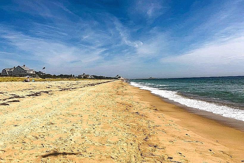
Napatree Point Conservation Area is a barrier beach and coastal ecosystem located in Westerly, Rhode Island.
This 2.5-mile long peninsula extends westward from the mainland, separating the Atlantic Ocean from the Little Narragansett Bay.
Visual Characteristics
The area consists of sandy beaches, dunes, and coastal shrubland. The ocean-facing side features coarse sand and wave-worn pebbles. The bay side exhibits finer sand and marsh grasses. Vegetation includes beach grass, bayberry, and scattered pitch pines.
Location & Access Logistics
Napatree Point is accessible from the western end of Watch Hill, Westerly, RI. From US Route 1, take Route 1A South towards Watch Hill. Continue on Watch Hill Road for approximately 3 miles. Turn right onto Bay Street, then left onto Larkin Road. Parking is available at the end of Larkin Road in a designated lot. Public transport options are limited; the nearest bus stop is several miles away in Westerly center.
Historical & Ecological Origin
Napatree Point is a natural barrier beach formed by glacial deposition and shaped by ocean currents and storms. It serves as a critical habitat for migratory birds and nesting shorebirds. Historically, it was used for fishing and as a defensive point.
Key Highlights & Activities
Walking the length of the point is the primary activity. Birdwatching is significant, especially during migration seasons. Beachcombing for shells and sea glass is possible. Swimming is permitted in the ocean, with caution advised due to currents.
Infrastructure & Amenities
Restrooms are available at the Larkin Road parking area. There is no dedicated shade on the beach itself. Cell phone signal (4G/5G) is generally available. No food vendors are present directly on Napatree Point; options are available in Watch Hill village.
Best Time to Visit
For photography, early morning or late afternoon light offers optimal conditions. The best months for weather are typically May through September. High tide can reduce beach width; low tide exposes more shoreline for exploration.
Facts & Legends
A notable historical event occurred in 1938 when the Great New England Hurricane significantly altered the point's shape, nearly severing it from the mainland. The area is a vital nesting ground for the federally endangered piping plover.
Nearby Landmarks
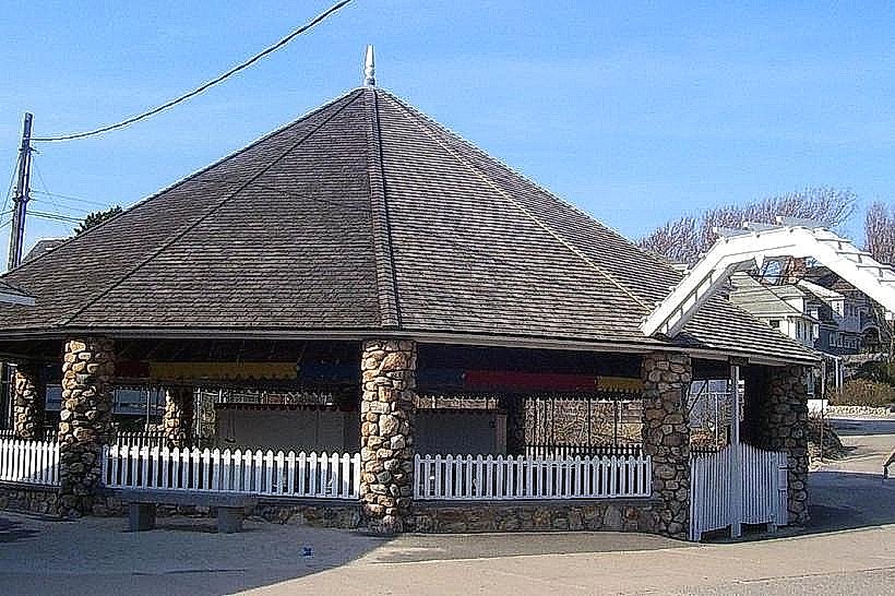
- Ocean House (0.8km East)
- Watch Hill Lighthouse (1.2km East)
- Misquamicut State Beach (3.5km Northeast)
- Weekapaug Pond (4.0km West)