Landmark: Mount Longonot National Park
City: Naivasha
Country: Kenya
Continent: Africa
Mount Longonot National Park, Naivasha, Kenya, Africa
Mount Longonot National Park is a protected area centered around a dormant volcano located southwest of Lake Naivasha in Kenya.
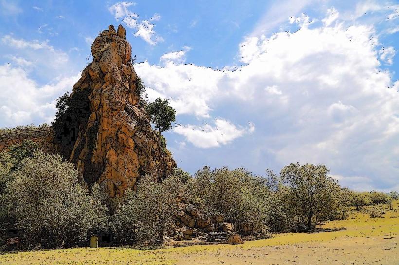
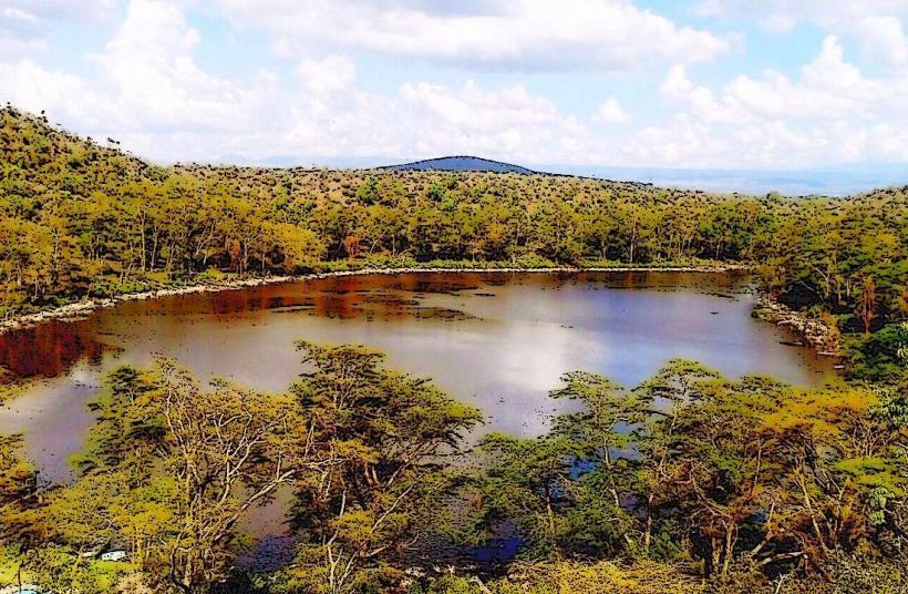
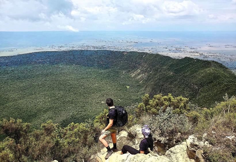
The park encompasses the Mount Longonot stratovolcano, a prominent geological feature with a well-defined crater rim.
Visual Characteristics
The volcano's slopes are covered in dense forest, transitioning to sparser vegetation at higher elevations. The crater itself is a large, circular depression with a diameter of approximately 1.8 kilometers. The inner walls of the crater exhibit steam vents, indicating geothermal activity. The surrounding landscape is characterized by savanna grassland.
Location & Access Logistics
Mount Longonot National Park is situated approximately 60 kilometers south of Naivasha town. Access is via the Nairobi-Nakuru Highway (A104). The turn-off to the park entrance is clearly signposted. The park entrance is located about 5 kilometers from the highway. Parking is available at the park gate. Public transport to Naivasha is frequent from Nairobi; from Naivasha town, local matatus (minibuses) can be hired to reach the park entrance, though this requires negotiation.
Historical & Ecological Origin
Mount Longonot is a stratovolcano formed by volcanic activity. Its last known eruption was in the 19th century. The park was established to protect the unique ecosystem and geological features of the volcano. The dense forest on its slopes is a significant ecological zone.
Key Highlights & Activities
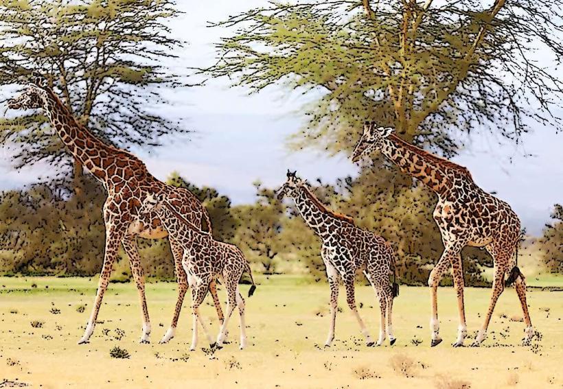
The primary activity is hiking to the crater rim. A well-maintained trail leads from the park gate to the rim, a round trip of approximately 3-4 hours. Visitors can walk along the crater rim. Observation of steam vents within the crater is possible. Wildlife viewing opportunities include various bird species, antelopes, and giraffes on the lower slopes.
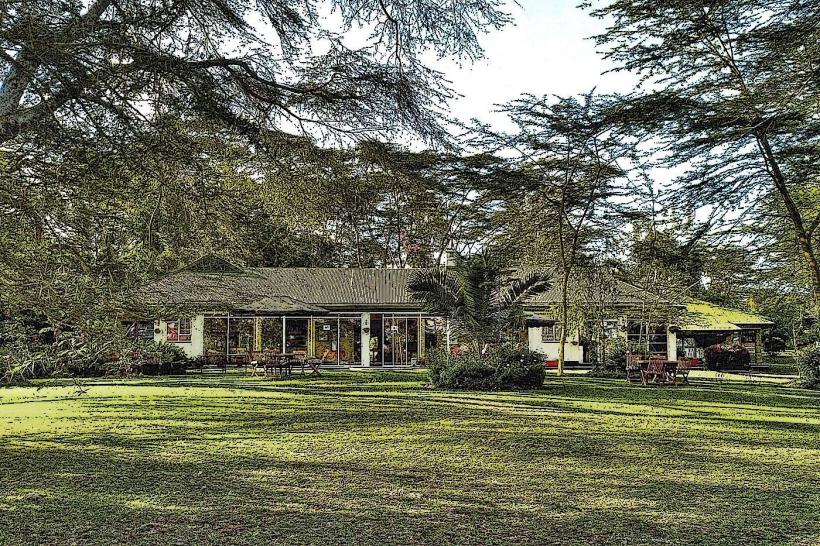
Infrastructure & Amenities
Restrooms are available at the park gate. Limited shade is present along the hiking trail, primarily from trees. Cell phone signal (4G) is generally available at the park gate and along the lower sections of the trail, but can be intermittent at higher elevations. No food vendors are located within the park; visitors should carry their own provisions.
Best Time to Visit
The best time of day for hiking is early morning to avoid the midday heat and for better visibility. The dry seasons, from June to September and December to February, offer the most favorable weather conditions with less rainfall. There are no tide-dependent activities.
Facts & Legends
A unique geological feature is the presence of fumaroles (steam vents) within the crater, indicating ongoing geothermal activity. Local folklore sometimes associates the mountain with spirits or ancient guardians.
Nearby Landmarks
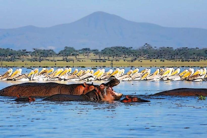
- Lake Naivasha (15km North)
- Hell's Gate National Park (25km Southwest)
- Oserian Wildlife Sanctuary (10km Northwest)
- Longonot Town (5km East)