Landmark: Mt. Matavanu Crater
City: Safotu
Country: Samoa
Continent: Australia
Mt. Matavanu Crater, Safotu, Samoa, Australia
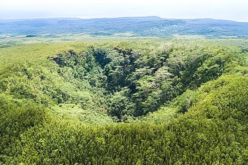
Mt. Matavanu Crater is a volcanic vent located on the central-northern highlands of Savai'i Island, Samoa. It is the site of the island's most significant recent volcanic activity, having remained continuously active between 1905 and 1911.
Visual Characteristics
The crater is a deep, circular depression with sheer, jagged walls composed of reddish-brown and black basaltic scoria. The interior is partially filled with volcanic rubble and pioneering ferns, while the surrounding landscape is a desolate expanse of hardened "pahoehoe" lava flows that exhibit a rope-like, metallic texture. Stunted vegetation and silver-barked trees grow sporadically along the rim, which offers unobstructed views of the northern coastline and the Pacific Ocean.
Location & Access Logistics
The site is located approximately 15km northwest of Salelologa. Access is via a rugged, uphill dirt track that begins in the village of Safotu or Paia; a high-clearance 4WD vehicle is mandatory for the 8km ascent. From the end of the drivable track, a 15-minute hike over uneven lava rock leads to the crater rim. There are no public transport options directly to the crater, though private guides can be hired in the coastal villages.
Historical & Ecological Origin
The crater was formed during a prolonged eruption of the basaltic shield volcano starting in August 1905. The lava flows from Mt. Matavanu destroyed several villages and covered over 100 square kilometers of fertile land before reaching the sea. Ecologically, the area is a primary succession zone where soil is slowly reforming on the sterile lava fields.
Key Highlights & Activities
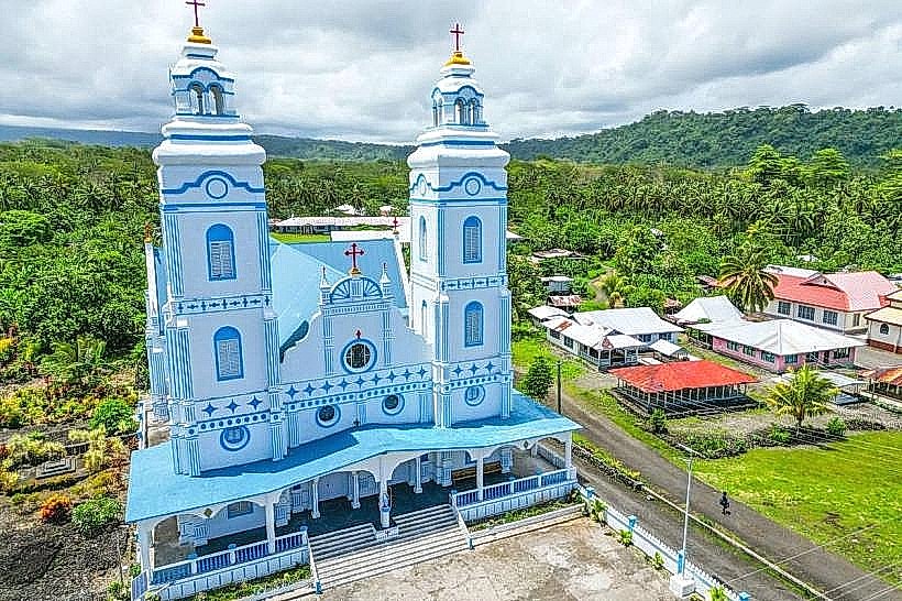
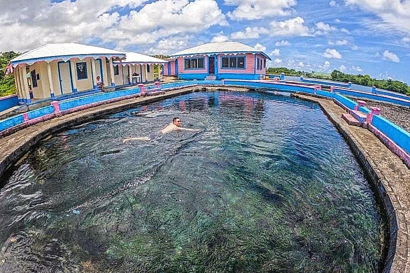
Hiking along the narrow rim path allows visitors to peer into the depths of the vent. The site is a primary location for studying volcanic geology and observing the "Lava Church" and "Virgin's Pool" (located further downslope near the coast) which were created by the same eruption. Photography of the stark, volcanic terrain and the panoramic northern vista is a major activity.
Infrastructure & Amenities
Infrastructure is nearly non-existent, consisting only of a small, rustic wooden lookout hut near the trail entrance. There are no restrooms, running water, or food vendors on the mountain. Cell phone signal is intermittent but can be found at the highest points of the rim. Visitors must carry their own water and wear sturdy, thick-soled footwear to protect against the sharp volcanic rock.
Best Time to Visit
Early morning is the optimal time to visit to avoid the intense heat reflected off the black lava rocks and to ensure clear visibility before coastal clouds move inland. The dry season (May to October) is recommended, as the access track becomes extremely slippery and dangerous during heavy rain.
Facts & Legends
A well-known figure associated with the crater is the "Crater Man," a local caretaker who lived near the summit for decades to maintain the access path. A unique historical oddity is that the lava flow from this crater was so slow and fluid that it allowed villagers time to evacuate, yet it was powerful enough to flow into the sea for years, significantly extending the island's coastline.
Nearby Landmarks
Saleaula Lava Fields – 4.5km Northeast
Paia Dwarf's Cave – 3.8km East
Safotu Village – 4.2km North
Mauga Village Crater – 4.9km East