Landmark: Noorderplantsoen
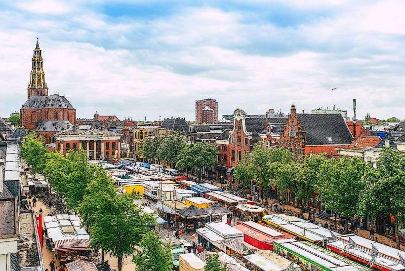
City: Groningen
Country: Netherlands
Continent: Europe
Noorderplantsoen, Groningen, Netherlands, Europe
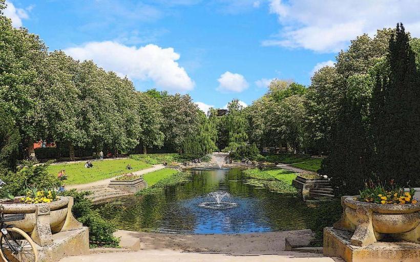
Noorderplantsoen is an urban park located on the northern edge of the Groningen city center in the Netherlands. It occupies the site of the city’s 17th-century defensive fortifications and serves as a primary recreational space for the local population.
Visual Characteristics
The park is characterized by its long, narrow, and winding layout following the former city ramparts and moats. It features deep, interconnected ponds with dark water, steep grassy embankments (the former bastions), and dense clusters of mature deciduous trees including beech and oak. The paths are paved with reddish-brown brick or asphalt, and the landscape architecture follows an English landscape style with organic curves and varied elevations.
Location & Access Logistics
The park is bordered by the Noorderbinnensingel to the south and the Noorderstationsstraat to the north. It is approximately 1.5 kilometers north of the Grote Markt and can be reached by a 10-minute walk from the city center. Bus lines 1, 9, and 10 stop at "Noorderplantsoen" or "Nieuwe Ebbingestraat." Parking is restricted to paid street zones in the surrounding Oranjebuurt and Noorderplantsoenbuurt neighborhoods; bicycle parking is available at all major entrance points.
Historical & Ecological Origin
The site was originally part of the city’s defense system built in 1624. After the fortifications lost their military purpose in the 19th century, the area was redesigned in 1880 by landscape architect L.P. Zocher into a public park. Ecologically, the park functions as a green corridor for urban wildlife, supporting various waterfowl, bats, and established tree species within a temperate maritime climate.
Key Highlights & Activities
Walking, jogging, and cycling are the primary activities on the peripheral and internal paths. The ponds allow for bird watching, and the large open lawns are used for picnics and sunbathing. An annual performing arts festival, Noorderzon, takes place here over eleven days in August. The historic 1930s-style pavilion (De-Punt) provides a central location for dining and viewings of the central pond.
Infrastructure & Amenities
Public restrooms are available at the central pavilion restaurant. The park features several children’s playgrounds and a designated fenced dog run. Benches are distributed along the main paths, and shade is abundant under the tree canopy. 5G and 4G cellular signals are consistent throughout the park. Trash bins are located at frequent intervals, particularly near the lawns.
Best Time to Visit
The park is most visually distinct in autumn (October/November) for foliage color and spring (April/May) for flowering trees. Early morning provides the best lighting for photography across the water surfaces. During the summer months, the park is most active in the late afternoon and evening, though it can become highly crowded during warm weekends.
Facts & Legends
The park’s height variations are not natural but are the literal remains of the 17th-century earthwork bastions. A notable feature is the "art route" containing several sculptures, including a bronze fragment of the city's history. A local tip for visitors is to look for the historic yellow-brick transformer building, which remains as a preserved industrial monument within the greenery.
Nearby Landmarks
Nieuwe Kerk – 0.4km South
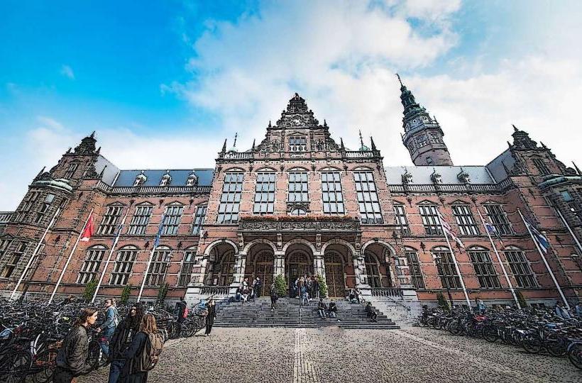
University of Groningen Academy Building – 0.7km South
Groningen North Railway Station – 0.6km North
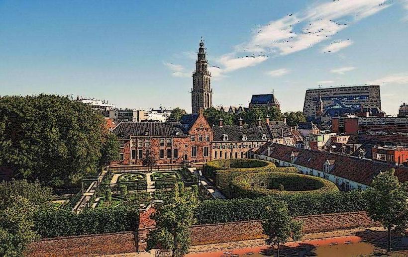
Prinsentuin – 0.8km Southeast
Guyotplein – 0.5km South