Landmark: Ol Donyo Sabuk National Park
City: Thika
Country: Kenya
Continent: Africa
Ol Donyo Sabuk National Park, Thika, Kenya, Africa
Ol Donyo Sabuk National Park is a protected area situated in the Machakos and Kajiado counties of Kenya, near the town of Thika.
Visual Characteristics
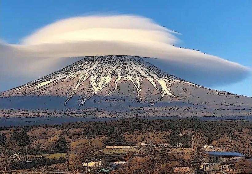
The park's central feature is the Ol Donyo Sabuk mountain, a solitary peak rising to 2,145 meters (7,037 feet). The mountain's slopes are covered in dense evergreen forest, transitioning to grassland at higher elevations. The base of the mountain is surrounded by agricultural land and smaller hills.
Location & Access Logistics
The park is located approximately 75 kilometers (47 miles) northeast of Nairobi and 15 kilometers (9 miles) south of Thika. Access is via the A2 highway from Nairobi towards Thika, then taking a turn-off onto a gravel road. The park entrance is approximately 10 kilometers from the main highway. There is a designated parking area at the park headquarters. Public transport to Thika is readily available from Nairobi; from Thika, local matatus (minibuses) can be hired to reach the park entrance, though this requires negotiation and is less direct.
Historical & Ecological Origin
Ol Donyo Sabuk mountain is an ancient extinct volcano. The park was established in 1967 to protect its unique montane ecosystem and the wildlife it supports. The mountain is also historically significant as the burial site of Sir William Northrup McMillan, a wealthy American who owned the surrounding land in the early 20th century.
Key Highlights & Activities
Hiking to the summit of Ol Donyo Sabuk is a primary activity, offering panoramic views. Wildlife viewing is possible, with common sightings including colobus monkeys, baboons, bushbucks, and various bird species. The park is also a destination for birdwatching.
Infrastructure & Amenities
Basic amenities are available at the park headquarters, including restrooms. There are designated picnic sites with some natural shade from trees. Cell phone signal (4G) is generally available at lower elevations and near the park entrance, but can be intermittent on the mountain slopes. No food vendors are located within the park; visitors should carry their own provisions.
Best Time to Visit
The best months for visiting are generally from June to October, during the dry season, which offers clearer views and easier hiking conditions. The best time of day for photography, particularly for capturing the landscape, is in the early morning or late afternoon when the light is softer. There are no tide-dependent activities.
Facts & Legends
A notable fact is that the mountain is known locally as "the mountain of the buffalo" due to the significant population of buffalo that inhabit its slopes. Sir William Northrup McMillan's mausoleum is located on the summit, a unique feature for a national park.
Nearby Landmarks
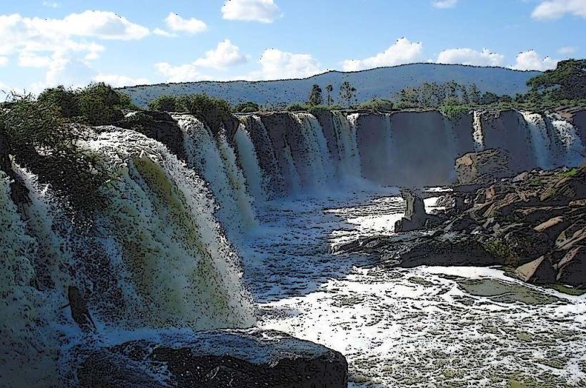
- Thika Falls (5km North)
- Chania Falls (6km North)
- Kiambethu Tea Farm (8km North)
- Kenyatta University (20km Southwest)