Landmark: Parque Nacional Cabo Polonio
City: Maldonado
Country: Uruguay
Continent: South America
Parque Nacional Cabo Polonio, Maldonado, Uruguay, South America
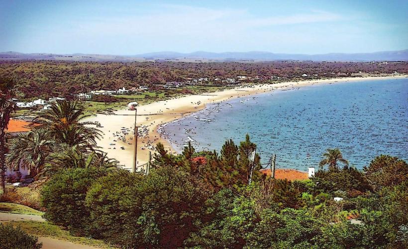
Parque Nacional Cabo Polonio is a protected coastal area located in the Rocha Department of Uruguay, east of the city of Maldonado.
This national park encompasses a peninsula and surrounding marine areas, characterized by its wild beaches, sand dunes, and a historic lighthouse.
Visual Characteristics
The landscape consists of extensive, mobile sand dunes reaching up to 30 meters in height. The coastline features granite rock formations and sandy beaches. The water color varies from deep blue to turquoise depending on light conditions. Vegetation is sparse, primarily low-lying scrub and grasses adapted to sandy, windswept environments. The Cabo Polonio Lighthouse, a prominent white cylindrical structure, stands at 26 meters tall.
Location & Access Logistics
Cabo Polonio is situated approximately 260 kilometers east of Montevideo and 70 kilometers east of Maldonado. Access is restricted to 4x4 vehicles or by foot. Visitors typically park at the entrance point and take designated park-approved 4x4 taxis or walk the 7 kilometers to the settlement. Public transport to the access point involves bus services from major cities to the town of La Pedrera, followed by a local transfer or walk. There is no direct public transport into the park itself.
Historical & Ecological Origin
The area's geological origin is primarily granite bedrock, shaped by millennia of wind and wave erosion. The sand dunes are a dynamic feature, constantly shifting. The lighthouse was constructed in 1887 and automated in 1976, serving as a navigational aid for maritime traffic. The park was established to protect its unique coastal ecosystem and biodiversity.
Key Highlights & Activities
Observation of the sea lion colony at Punta del Diablo is a primary activity. Hiking across the sand dunes provides panoramic views. Swimming and sunbathing are possible on the beaches. Photography of the lighthouse and the natural landscape is recommended. Boat tours offer views of the coastline and marine life.
Infrastructure & Amenities
Basic amenities are available within the small settlement of Cabo Polonio, including a few small restaurants and shops. Restrooms are limited and often require payment. Shade is primarily found under natural rock overhangs or within the settlement's structures. Cell phone signal is intermittent and generally weak. There are no formal parking facilities within the park; parking is available at the designated access points outside the park boundaries.
Best Time to Visit
The best months for visiting are from December to March, during the Uruguayan summer, offering warmer temperatures and calmer seas. For photography, early morning and late afternoon provide optimal lighting conditions for the dunes and lighthouse. High tide can affect access to certain beach areas.
Facts & Legends
A local legend states that the name "Cabo Polonio" originates from a shipwrecked Spanish galleon named "San Polonio" that ran aground in the area centuries ago, though historical records of such a vessel are scarce. The settlement itself operates largely off-grid, with many residents relying on solar power and rainwater harvesting.
Nearby Landmarks
- Playa La Esmeralda (2km West)
- Punta del Diablo (15km East)
- Santa Teresa National Park (20km East)
- Fortaleza de Santa Teresa (20km East)
- La Pedrera (10km West)