Information
Landmark: Parque Nacional CaguanesCity: Ciego de Avila
Country: Cuba
Continent: North America
Parque Nacional Caguanes, Ciego de Avila, Cuba, North America
Parque Nacional Caguanes is a protected natural area located in the northern part of Ciego de Avila province, Cuba.
This park encompasses a significant portion of the Sabana-Camagüey Archipelago, featuring diverse ecosystems and geological formations.
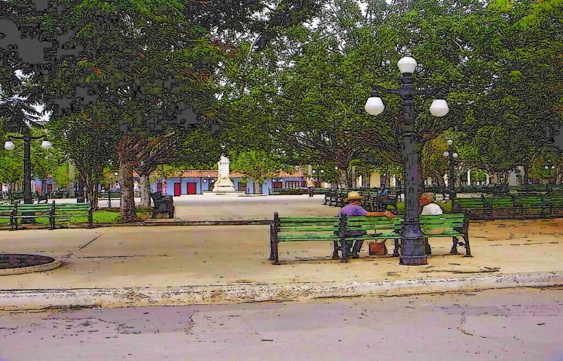
Visual Characteristics
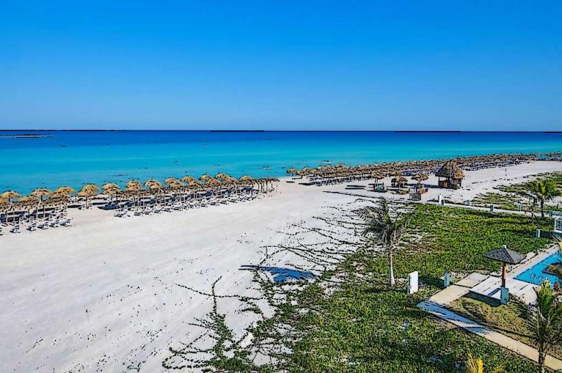
The park's landscape is characterized by extensive mangrove forests, coastal wetlands, and karst formations. The water bodies within the park are typically brackish, reflecting the influence of both freshwater runoff and tidal ingress. Rock formations are predominantly limestone, exhibiting erosion patterns typical of humid tropical environments. Vegetation density varies, with dense mangrove stands along the coast and sparser scrub and herbaceous cover inland.
Location & Access Logistics
Parque Nacional Caguanes is situated approximately 60 kilometers north of the city of Ciego de Avila. Access is primarily via the Carretera de Turiguanó, turning onto local unpaved roads leading to park entrances. The main access point is near the settlement of Turiguanó. Parking is available at designated points near the park's administrative facilities, though it is informal. Public transport to Turiguanó is limited; bus services operate from Ciego de Avila to Turiguanó, requiring a subsequent taxi or pre-arranged transport to the park itself. Boat access is also possible via coastal routes, often utilized by local fishermen.
Historical & Ecological Origin
The park's ecological origin is rooted in the geological processes of the Sabana-Camagüey Archipelago, a region formed by Quaternary reef and marine deposits. The karst topography is a result of the dissolution of soluble limestone by rainwater over millennia. Ecologically, it represents a vital coastal wetland ecosystem, crucial for biodiversity conservation and hydrological regulation. Historically, the area has been utilized by indigenous populations and later by fishermen and agriculturalists, with evidence of early human presence found in caves within the park.
Key Highlights & Activities
Exploration of the cave systems, including Cueva de Caguanes, is a primary activity. Guided tours are available for specific caves. Birdwatching is significant due to the diverse avian population, particularly in wetland areas. Kayaking and small boat excursions are possible in designated channels within the mangrove forests. Hiking trails are limited and often require local guidance due to terrain and potential hazards.
Infrastructure & Amenities
Basic infrastructure is present at the park's main entrance, including a visitor information point and rudimentary restroom facilities. Shade is provided by natural tree cover in some areas. Cell phone signal is generally weak to non-existent within the park's interior. Food vendors are not typically found within the park; visitors should bring their own provisions. Limited accommodation options may be available in nearby Turiguanó.
Best Time to Visit
The dry season, from November to April, offers the most favorable weather conditions with lower humidity and less rainfall. The best time of day for photography, particularly for capturing the interplay of light and shadow within the mangroves and caves, is during the early morning or late afternoon. Tidal conditions can affect access to certain coastal areas and boat routes; consulting local guides regarding tide charts is advisable.
Facts & Legends
Cueva de Caguanes is known for its extensive stalactite and stalagmite formations, some of which are exceptionally large. Local folklore speaks of the caves being inhabited by spirits or ancient guardians, a common theme in rural Cuban traditions. A specific tip for visitors is to wear sturdy, closed-toe footwear due to the uneven terrain and potential for slippery surfaces within the caves and on trails.
Nearby Landmarks
- Cayo Romano (15km Northeast)
- Reserva Ecológica Limones-Tuabaquey (40km Southwest)
- Laguna de la Leche (45km Southwest)
- Cayo Coco (55km Northeast)
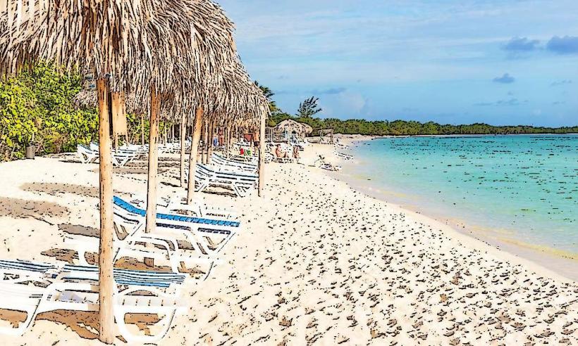
- Playa Los Cayos (60km Northeast)