Information
Landmark: Playa FlamencoCity: Ciego de Avila
Country: Cuba
Continent: North America
Playa Flamenco, Ciego de Avila, Cuba, North America
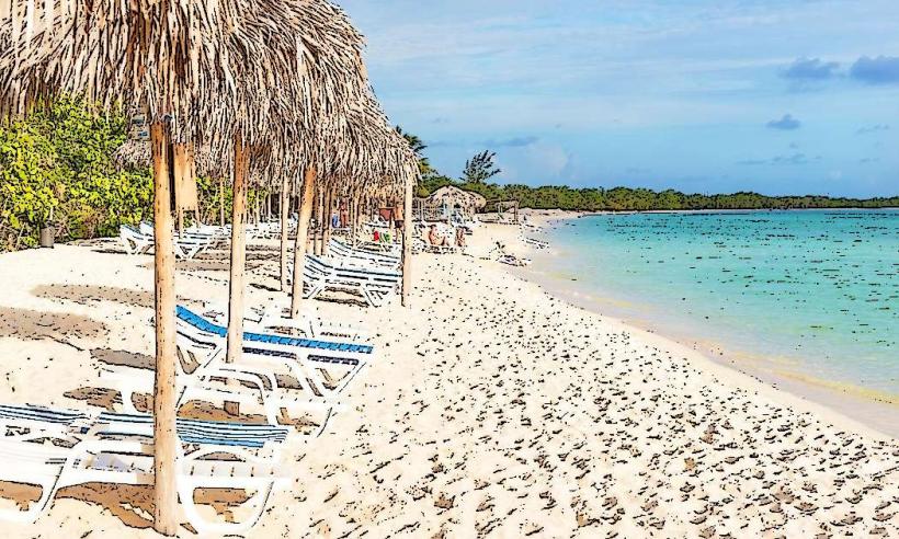
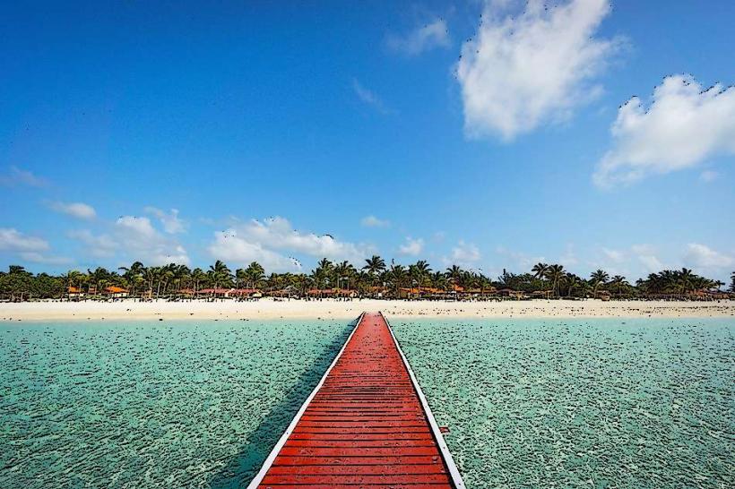
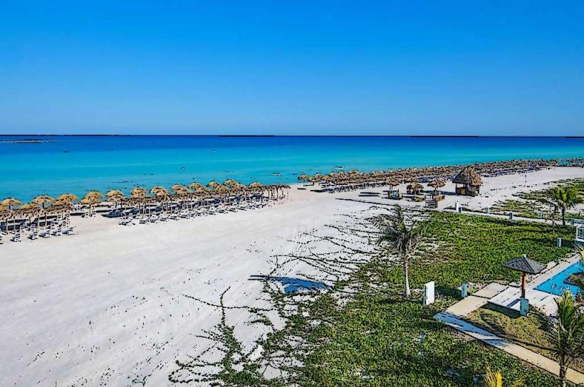
Playa Flamenco is a beach located on the northern coast of Cayo Coco, within the Jardines del Rey archipelago, off the northern coast of Cuba.
Visual Characteristics
The beach features fine, white sand with a granular consistency. The water exhibits a gradient of blues, transitioning from pale turquoise near the shore to a deeper azure further out. The shoreline is approximately 3 kilometers in length and is characterized by a relatively flat topography. Vegetation consists primarily of low-lying coastal scrub and scattered palm trees along the dune line.
Location & Access Logistics
Playa Flamenco is situated on Cayo Coco, accessible via the Pedraplen, a 27km causeway connecting the island to the mainland near Morón. From the city center of Morón, the drive to Cayo Coco is approximately 45 minutes. Parking is available at designated lots adjacent to the beach access points. Public transport options to Cayo Coco are limited; private transfers or rental vehicles are the primary modes of access.
Historical & Ecological Origin
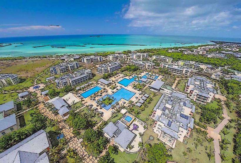
Cayo Coco is a low-lying island formed from coral reef deposits and marine sediments over geological time. Its development as a tourist destination began in the late 20th century, with significant infrastructure development occurring in the 1990s and early 2000s.
Key Highlights & Activities
Swimming is permitted in the calm waters. Sunbathing on the sand is a primary activity. Walking the length of the beach is possible. Limited water sports equipment rentals may be available seasonally.
Infrastructure & Amenities
Restrooms are located at designated beach access points. Shade is provided by natural palm trees and some man-made structures. Cell phone signal (primarily 3G/4G) is generally available. Food and beverage vendors are present at some access points, particularly near resort areas.
Best Time to Visit
For photography, early morning (7:00 AM - 9:00 AM) and late afternoon (4:00 PM - 6:00 PM) offer softer lighting. The dry season, from November to April, generally provides the most favorable weather conditions with lower humidity and less rainfall. High tide and low tide do not significantly impact accessibility or usability of the main beach area.
Facts & Legends
The name "Flamenco" is derived from the presence of American flamingos that historically frequented the surrounding cays, though sightings on the immediate beach are less common now. A specific tip for visitors is to explore the less developed western end of the beach for greater solitude.
Nearby Landmarks
- Playa Los Flamencos (0.8km West)
- Parque Natural El Bagá (3.5km Southwest)
- Cayo Guillermo (15km Northwest)
- Laguna La Redonda (22km Southwest)