Landmark: Parque Nacional Natural Farallones de Cali
City: Cali
Country: Colombia
Continent: South America
Parque Nacional Natural Farallones de Cali, Cali, Colombia, South America
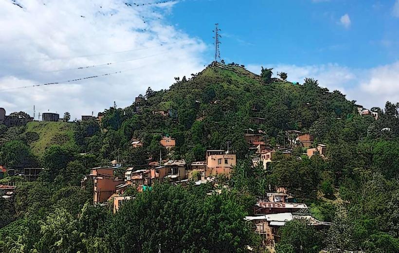
Parque Nacional Natural Farallones de Cali is a protected natural area situated in the western Andes mountain range, southwest of Cali, Colombia.
Visual Characteristics
The park encompasses a range of elevations, from cloud forests to páramo ecosystems. Vegetation is dense, characterized by a high diversity of orchids, bromeliads, and mosses. Tree cover varies from montane forests with species like oak and wax palm to open páramo grasslands at higher altitudes. Watercourses are prevalent, with numerous streams and rivers carving through the rugged terrain. Rock formations are primarily sedimentary and metamorphic, often exposed on steep slopes.
Location & Access Logistics
The park is located approximately 40 kilometers west of Cali. Access is primarily via the road to Pance, continuing towards the village of Los Andes. From Los Andes, unpaved roads lead into the park. The final stretch may require a 4x4 vehicle or hiking. Public transport to Los Andes is available via local bus services originating from Cali's central bus terminal. Parking is limited and often informal near trailheads.
Historical & Ecological Origin
The park was established as a National Natural Park in 1978 to protect its significant biodiversity and watershed functions. Ecologically, it represents a critical transition zone between the Pacific lowlands and the Andean highlands, supporting a unique array of endemic species. The geological formations are part of the Western Cordillera of the Andes, shaped by tectonic activity and erosion over millions of years.
Key Highlights & Activities
Hiking is a primary activity, with trails such as the Sendero de los Guaduales and the route to Pico de Loro. Birdwatching is significant, with opportunities to observe Andean condors, quetzals, and numerous hummingbird species. Photography of cloud forest landscapes and flora is recommended. Camping is permitted in designated areas with prior authorization.
Infrastructure & Amenities
Basic infrastructure is minimal within the park. Restrooms are available at the park's main entrance and at some ranger stations. Shade is abundant due to dense forest cover. Cell phone signal is unreliable and generally absent in most areas. Food vendors are not present within the park; visitors must carry their own provisions. Basic accommodation options may be found in nearby villages like Los Andes.
Best Time to Visit
The best time for clear views and hiking is during the dry season, from December to March. The shoulder months of July and August also offer relatively drier conditions. Mornings generally provide better lighting for photography before cloud cover typically forms in the afternoon. Rainfall is common year-round, so waterproof gear is essential.
Facts & Legends
The park is a critical source of water for Cali, with its páramo ecosystems acting as natural sponges. Local indigenous communities have historically utilized the area for medicinal plants. A notable geological feature is the presence of ancient rock shelters, some containing pre-Columbian petroglyphs, though access to these is restricted.
Nearby Landmarks
- 0.5km North: Reserva Natural La Planada
- 2.0km East: Pance River
- 3.5km Southeast: Village of Los Andes
- 4.0km West: Cerro de La Popa