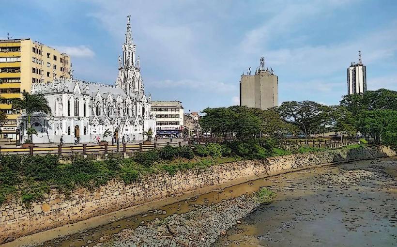
Landmark: Río Cali
City: Cali
Country: Colombia
Continent: South America
Río Cali, Cali, Colombia, South America
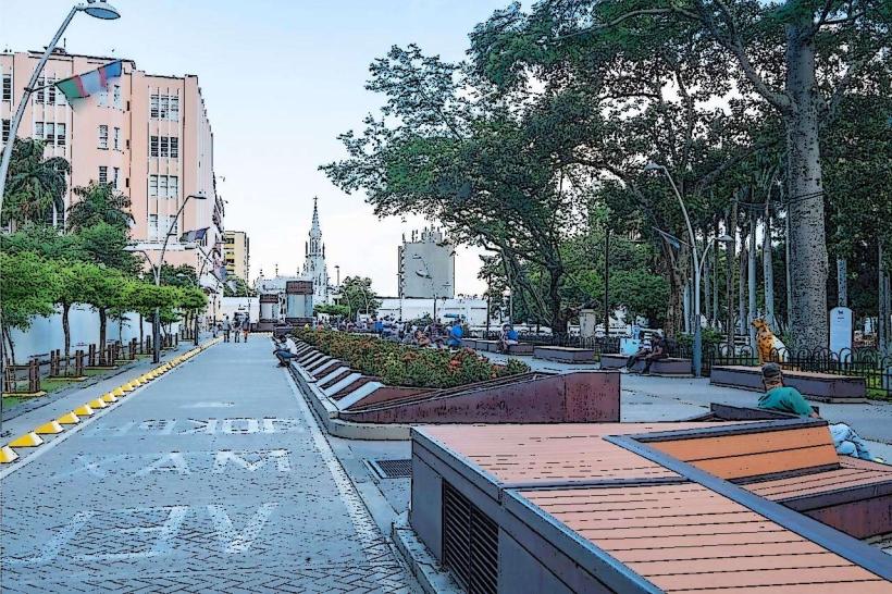
Río Cali is a river that flows through the city of Cali, Colombia. It serves as a significant urban waterway and recreational area within the metropolitan context.
Visual Characteristics
The river's width varies, averaging approximately 20 meters in the central urban sections. Its banks are largely reinforced with concrete or stone retaining walls. Water color is typically brown to grey, influenced by urban runoff and sediment load. Vegetation along the immediate banks is sparse in developed areas, consisting of managed grasses and ornamental trees. In less developed sections, some native riparian species may be present.
Location & Access Logistics
Río Cali traverses the city center of Cali. Access points are numerous along its course. Major roads bordering the river include Avenida 2A Norte and Avenida 2 Norte. Parking is available in designated public lots and street parking zones adjacent to the river, particularly in the downtown area. Public transport buses serving routes through the city center provide access to points along the river. Specific bus lines include 1, 2, 3, 4, and 5, which run along major avenues near the river.
Historical & Ecological Origin
The river is a natural watercourse, part of the Cauca River basin. Its historical significance is tied to the founding and development of Cali, with early settlements established along its banks. The river has been significantly modified over time to manage flooding and integrate it into the urban landscape. Ecological origin is that of a tropical river system, historically supporting riparian ecosystems that have been altered by urbanization.
Key Highlights & Activities
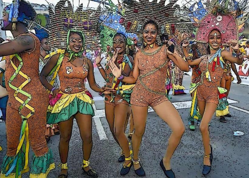
Walking and cycling are common activities along the paved pathways that follow the river. The Paseo de la Avenida Colombia offers a dedicated pedestrian and cyclist route. Boat tours are not a standard offering. Fishing is generally not permitted within the urbanized sections. Public art installations and sculptures are present along the riverbanks.
Infrastructure & Amenities
Restrooms are available at designated public parks and commercial establishments along the river. Shade is provided by trees in park areas and by awnings of adjacent buildings. Cell phone signal (4G/5G) is generally strong throughout the urban sections. Food vendors and restaurants are located along the main avenues bordering the river, particularly in the downtown and El Peñón districts.
Best Time to Visit
For photography, early morning (7:00 AM - 9:00 AM) and late afternoon (4:00 PM - 6:00 PM) offer softer lighting. The best months for weather are typically December to March and July to August, which are part of the drier seasons. No specific tide requirements apply as it is a river.
Facts & Legends
A notable historical oddity is the "Puente de la Solidaridad," a pedestrian bridge constructed from salvaged materials after an earthquake, which spans the Río Cali. Local folklore sometimes refers to the river's currents having moods that reflect the city's disposition.
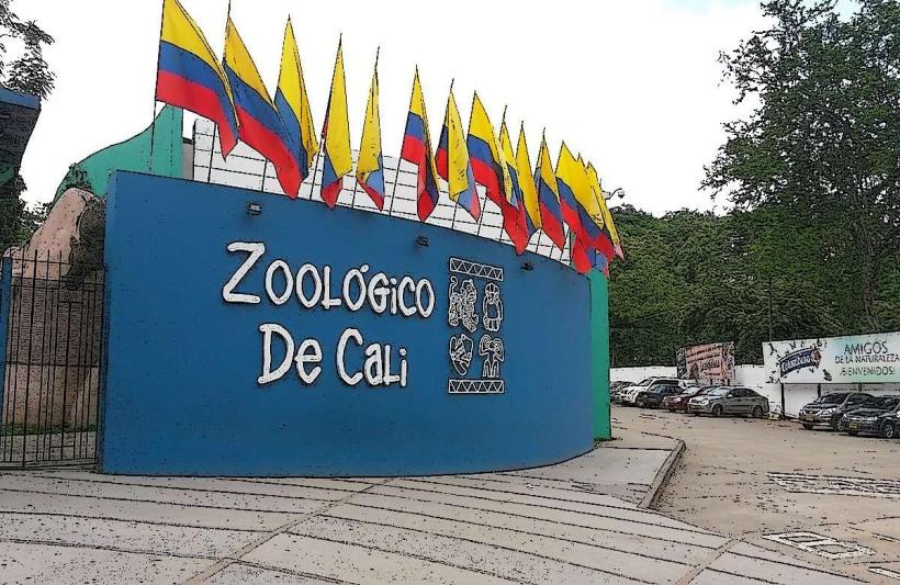
Nearby Landmarks
- Torre de Cali (0.3km West)
- Parque de las Banderas (1.2km South)
- Museo del Oro Calima (0.8km Southwest)
- La Tertulia Museum (0.6km West)
- Plaza de Cayzedo (1.0km South)