Landmark: Pine Hill Park
City: Rutland
Country: USA Vermont
Continent: North America
Pine Hill Park, Rutland, USA Vermont, North America
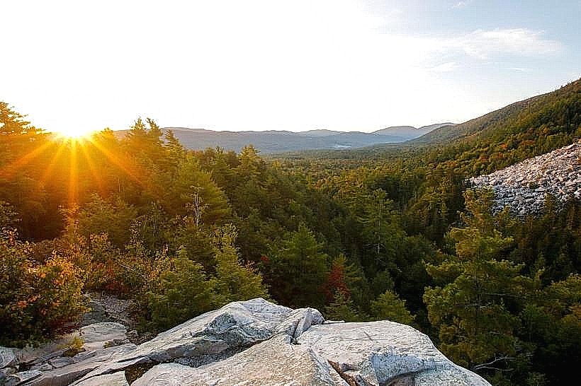
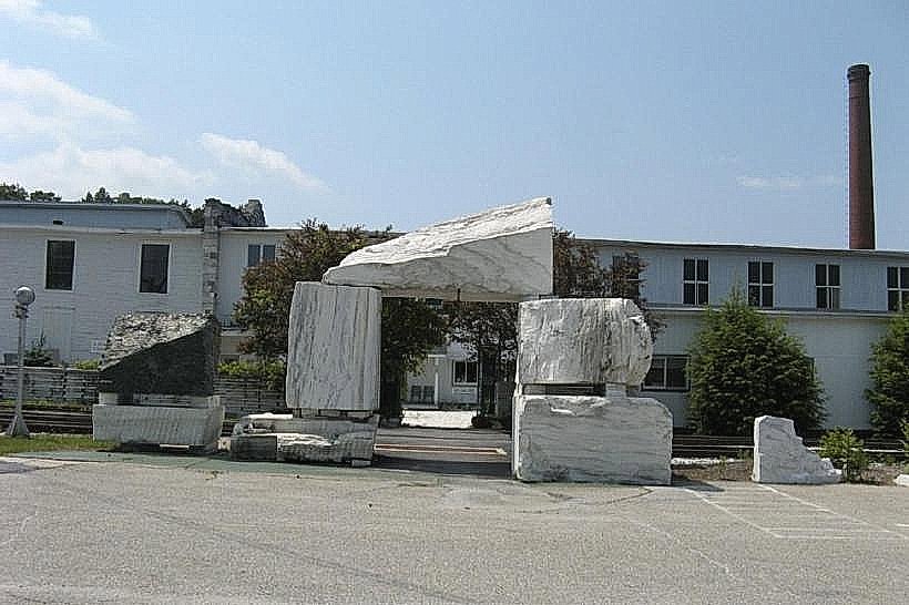
Pine Hill Park is a municipal park located in Rutland, Vermont, USA. It encompasses a significant area of mixed deciduous and coniferous forest.
Visual Characteristics
The park features rolling terrain with elevations reaching approximately 1,200 feet. Dominant tree species include maple, oak, and pine. The forest floor is characterized by leaf litter and exposed rock formations. Several small streams traverse the park, with water color varying from clear to brown depending on recent rainfall.
Location & Access Logistics
Pine Hill Park is situated approximately 2 miles west of downtown Rutland. Access is primarily via Pine Hill Road, which connects to US Route 4. Parking is available at the main trailhead located at the end of Pine Hill Road. No public transport services directly access the park entrance.
Historical & Ecological Origin
The land was acquired by the City of Rutland in the early 20th century for watershed protection and recreational purposes. Ecologically, it represents a typical northern hardwood forest ecosystem, supporting a variety of local flora and fauna.
Key Highlights & Activities
Hiking is the primary activity, with over 15 miles of marked trails. The park offers opportunities for birdwatching and nature observation. Trail difficulty ranges from easy to moderate, with some sections involving steep ascents.
Infrastructure & Amenities
Basic amenities include marked trailheads and informational signage. Restrooms are not available within the park. Cell phone signal is intermittent, particularly in lower-lying areas. No food vendors operate within the park boundaries; visitors should bring their own provisions.
Best Time to Visit
For hiking, the months of May through October offer the most favorable conditions. Autumn foliage viewing is optimal in late September and early October. Early morning or late afternoon provides the best natural light for photography.
Facts & Legends
Local lore suggests that the park's highest point, known as "The Summit," was once used as a lookout by early settlers. A specific geological feature, a large glacial erratic boulder, is a notable point of interest along the main trail.
Nearby Landmarks
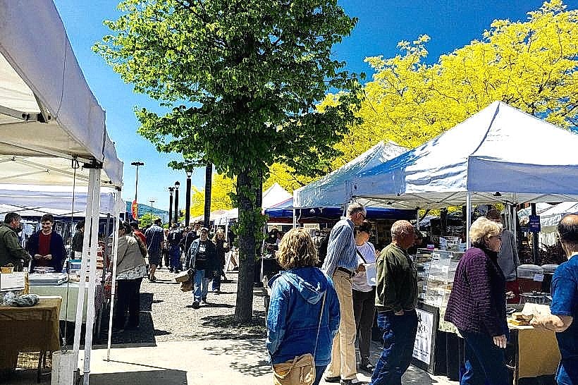
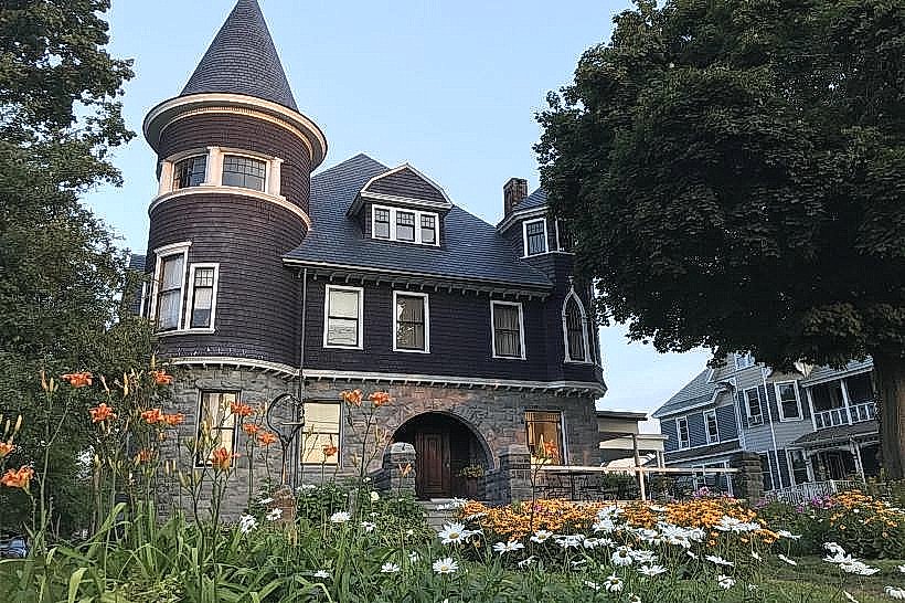
- Rutland Downtown Historic District (2.5km East)
- Vermont State Fairgrounds (3.0km Southeast)
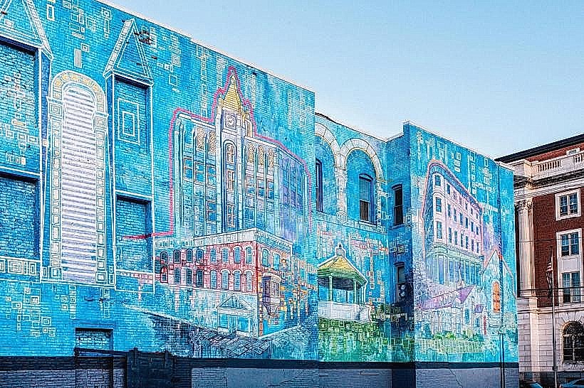
- Chaffee Art Center (2.8km East)
- Diamond Run Mall (3.5km East)