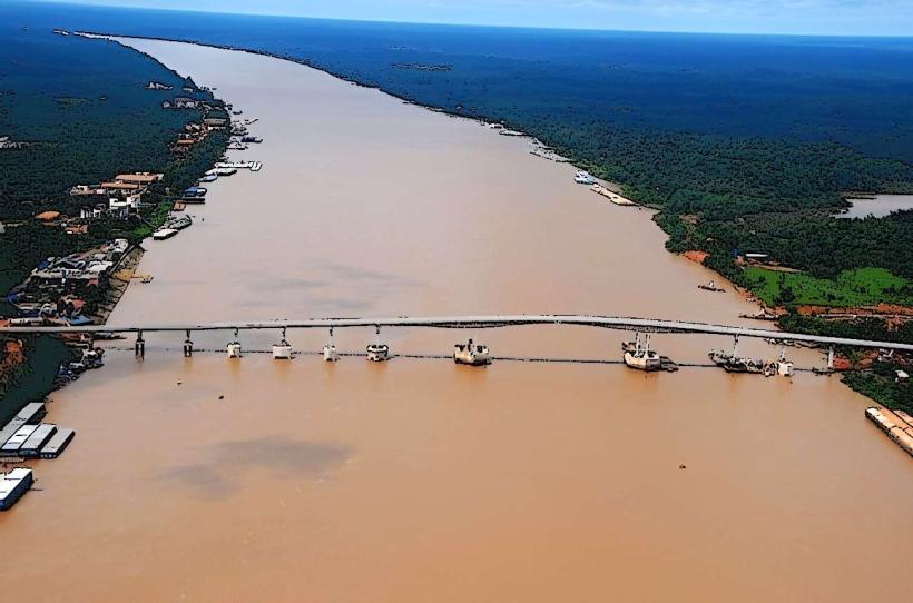
Landmark: Río Grande
City: Uyuni
Country: Bolivia
Continent: South America
Río Grande, Uyuni, Bolivia, South America
The Río Grande is a river located in the Potosí Department of Bolivia, flowing through the municipality of Uyuni.
Visual Characteristics
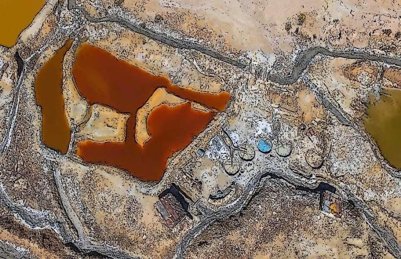
The river exhibits a variable width, typically ranging from 10 to 30 meters. Its water color is generally a muddy brown due to sediment load, particularly during the rainy season. The riverbed consists of sand and gravel. Vegetation along the banks is sparse, primarily consisting of hardy grasses and low-lying shrubs adapted to arid conditions.
Location & Access Logistics
The Río Grande is accessible via the Ruta 1 national highway, approximately 20 kilometers west of the city of Uyuni. Turn south onto an unpaved access road marked by local signage. Parking is available on the riverbanks, though it is informal and unpaved. Public transport to the immediate vicinity is limited; bus services operate on Ruta 1, requiring a walk of approximately 1 kilometer to reach the river.
Historical & Ecological Origin
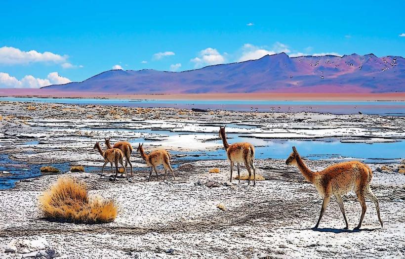
The Río Grande is a natural river system, part of the endorheic basin of the Altiplano. Its formation is a result of regional drainage patterns and precipitation over millennia. It serves as a vital water source for local flora and fauna in an otherwise arid environment.
Key Highlights & Activities
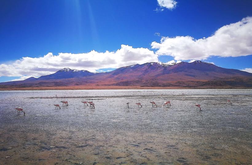
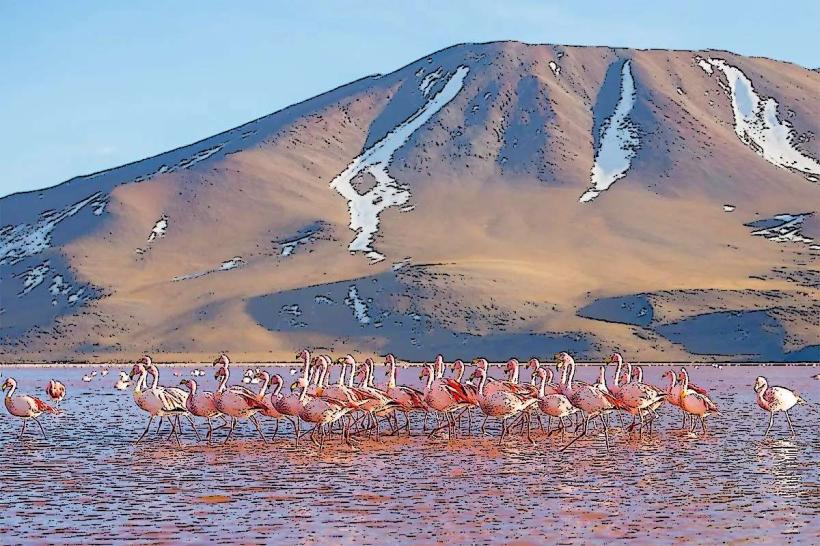
Observation of local birdlife is possible along the riverbanks. The river can be crossed at designated shallow points during the dry season. Photography of the river landscape is a common activity.
Infrastructure & Amenities
No formal infrastructure or amenities are present directly at the Río Grande. Restrooms, shade, and food vendors are not available. Cell phone signal (4G/5G) is intermittent and generally weak.
Best Time to Visit
The best time for photography is during the late afternoon, approximately 15:00 to 17:00, when the sun angle provides softer light. The dry season, from May to October, offers more stable access and lower water levels. During the wet season (November to April), water levels rise, and the river can become impassable.
Facts & Legends
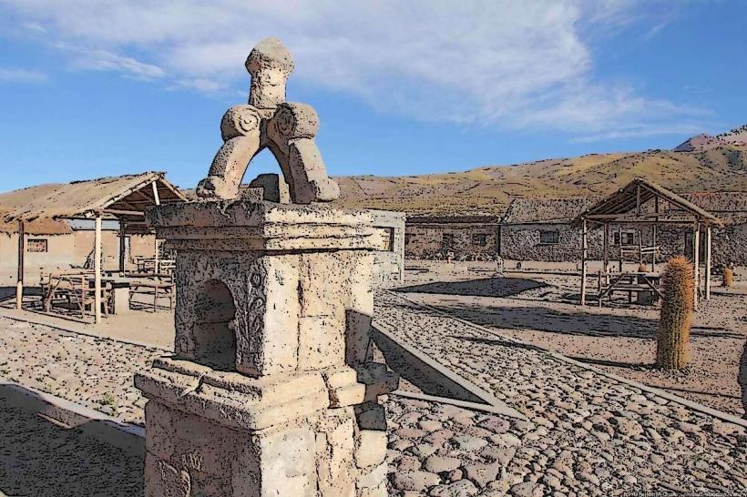
Local folklore suggests that the river's flow can predict rainfall for the agricultural season. A specific historical oddity is the presence of ancient pottery shards found along its banks, indicating past human settlement.
Nearby Landmarks
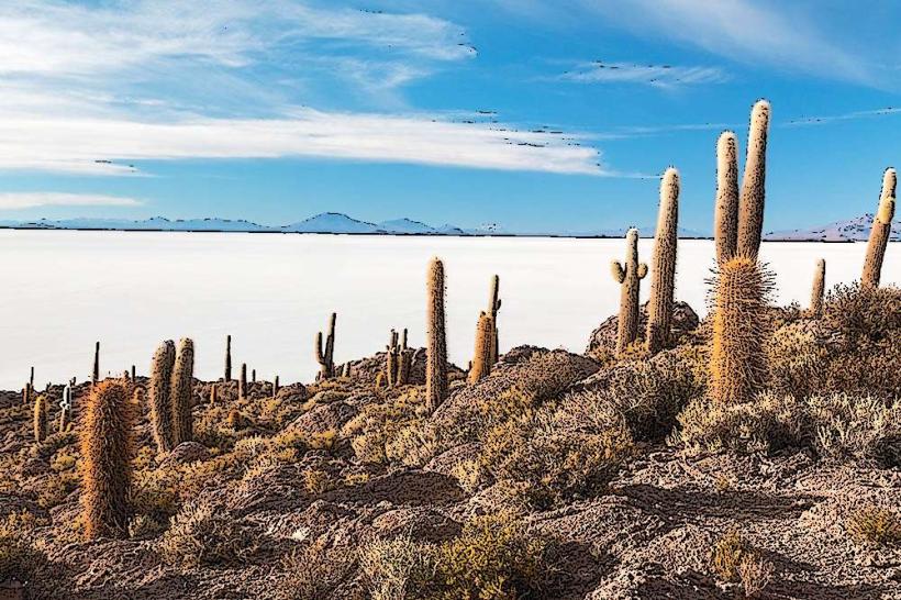
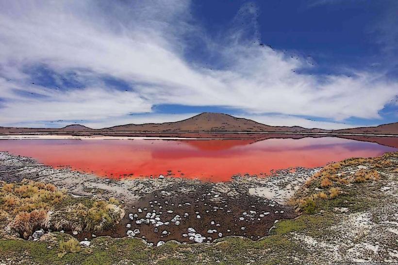
- Laguna Colorada (100km Southwest)
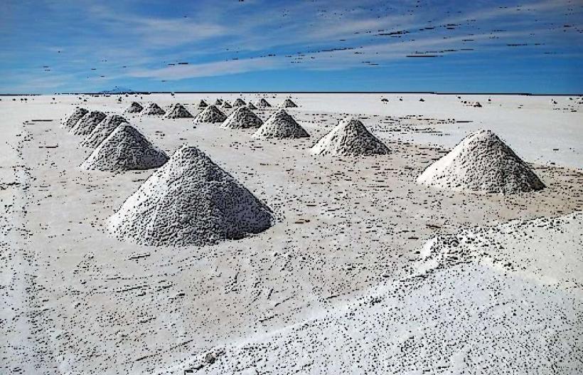
- Salar de Uyuni (15km East)
- Train Cemetery (10km East)
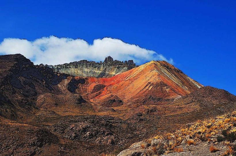
- Volcán Tunupa (25km Northeast)