Information
Landmark: Río MindoCity: Mindo
Country: Ecuador
Continent: South America
Río Mindo, Mindo, Ecuador, South America
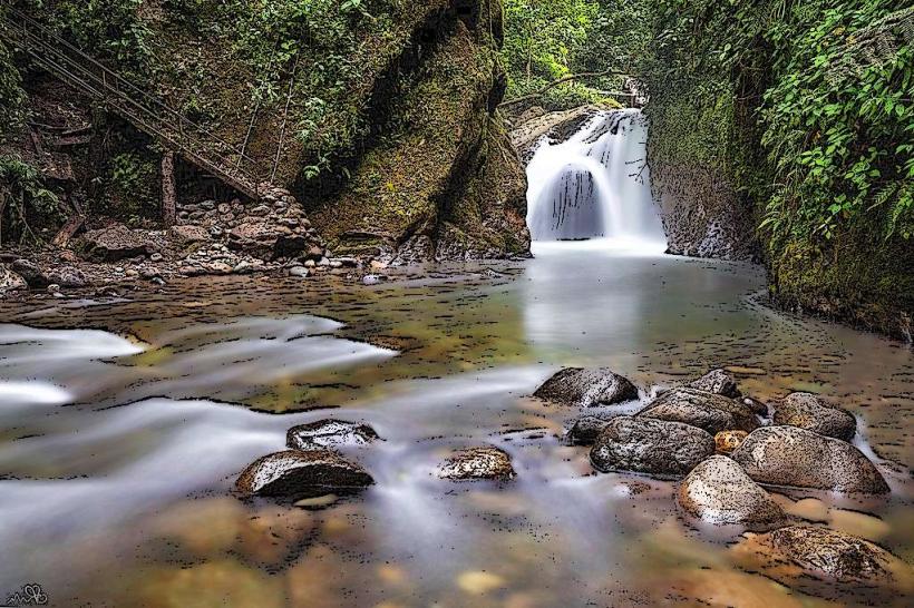
Río Mindo is a river located in the Mindo canton of Ecuador. It is a significant watercourse within the cloud forest ecosystem of the region.
Visual Characteristics
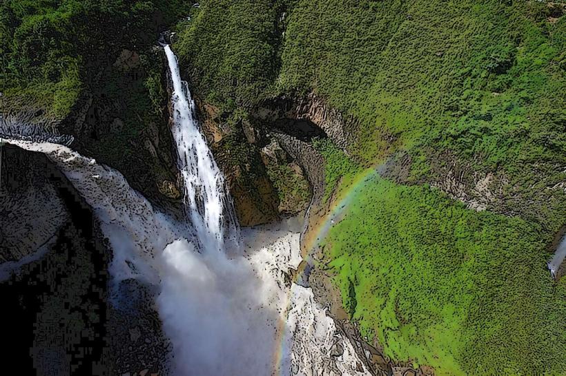
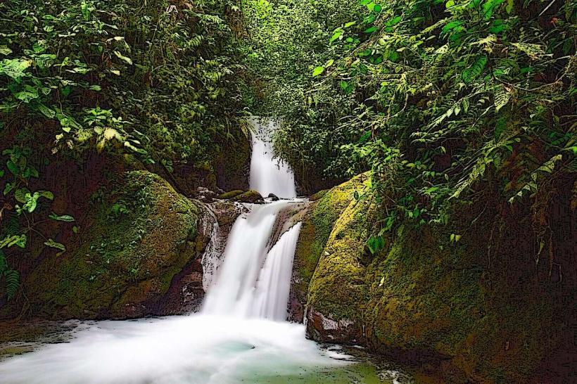
The river exhibits clear, cool water, often with a greenish tint due to dissolved minerals and surrounding vegetation. Its banks are characterized by dense, multi-layered cloud forest flora, including ferns, orchids, bromeliads, and tall trees. Rock formations, including smooth river stones and larger boulders, are visible along the riverbed and its edges. The water flow varies, with some sections presenting gentle currents and others more rapid cascades over rocks.
Location & Access Logistics
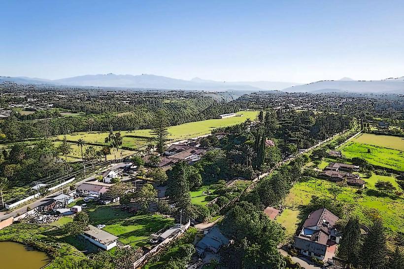
Río Mindo is situated approximately 2 kilometers west of the town center of Mindo. Access is primarily via unpaved local roads branching off the main Mindo-Nambillo road. Several small parking areas are available near popular access points. Public transport to Mindo town is available via bus services from Quito (approximately 2-hour journey). From Mindo town, local taxis or a short walk are required to reach the river access points.
Historical & Ecological Origin
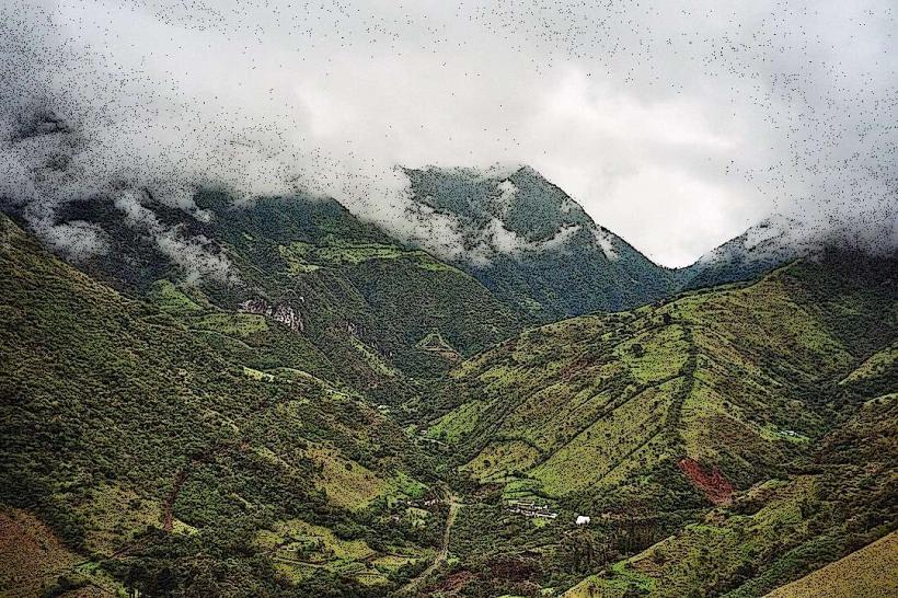
The river is a natural watercourse formed by the topography of the Andean foothills. Its ecological origin is tied to the high precipitation and humidity characteristic of the Mindo Cloud Forest, a biodiversity hotspot. The river system plays a crucial role in the local watershed, supporting a rich array of flora and fauna adapted to this specific environment.
Key Highlights & Activities
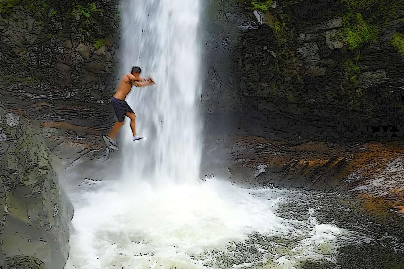
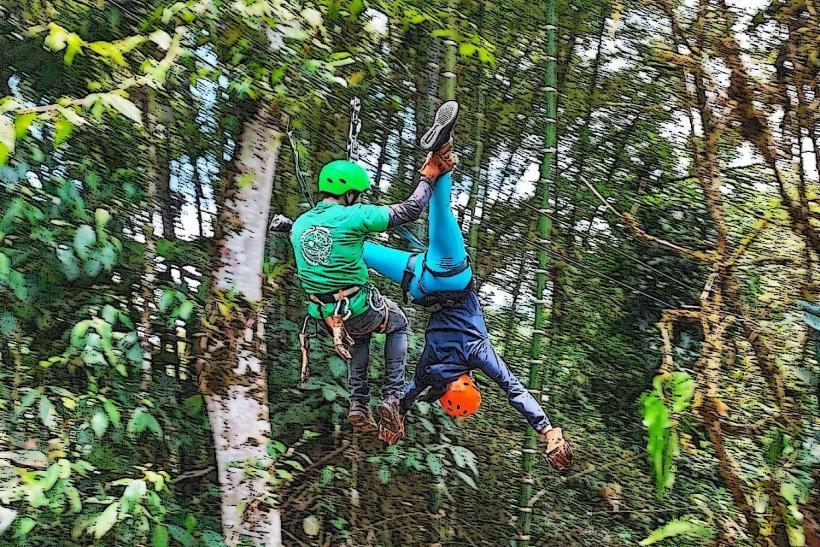
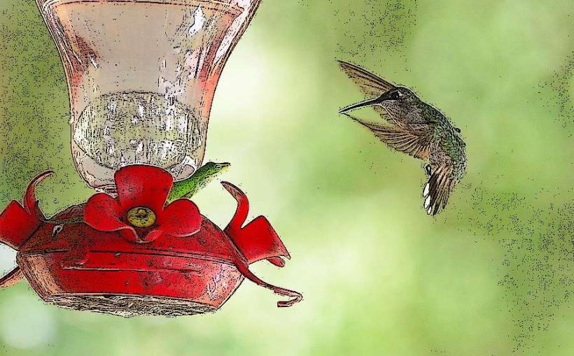
Activities include birdwatching along the riverbanks, with species such as toucans and hummingbirds frequently observed. Swimming is possible in designated calm sections during warmer months. Hiking trails follow sections of the river, offering opportunities to observe the forest ecosystem. Photography of the river and its surrounding vegetation is a common pursuit.
Infrastructure & Amenities
Basic infrastructure is limited. Some access points may have rudimentary picnic tables. Restrooms are generally not available directly at river access points; facilities are more common in Mindo town. Shade is abundant due to the dense forest canopy. Cell phone signal (4G/5G) is intermittent and often unavailable directly along the river. Food vendors are not present at the river; provisions should be made in Mindo town.
Best Time to Visit
The best time of day for photography is typically mid-morning (9:00 AM - 11:00 AM) or late afternoon (3:00 PM - 5:00 PM) to capture softer light filtering through the canopy. The driest months are generally June through September, though the cloud forest receives rainfall year-round. High tide is not a relevant factor for this river system.
Facts & Legends
Local folklore suggests that certain pools within the river are inhabited by water spirits that protect the forest. A verified fact is that the river's water quality is a key indicator of the health of the surrounding cloud forest ecosystem.
Nearby Landmarks
- Nambillo Waterfall Sanctuary (1.5km North)
- Mariposas de Mindo Butterfly Farm (2.0km East)
- Mindo Chocolate Factory (2.5km East)
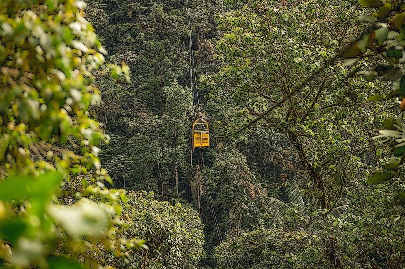
- Tarabita Cable Car (1.8km North)
- Mindo National Park Entrance (3.0km West)