Landmark: Rita Area Lagoon Shore
City: Majuro
Country: Marshall Islands
Continent: Australia
Rita Area Lagoon Shore, Majuro, Marshall Islands, Australia
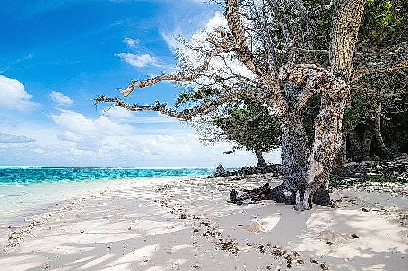
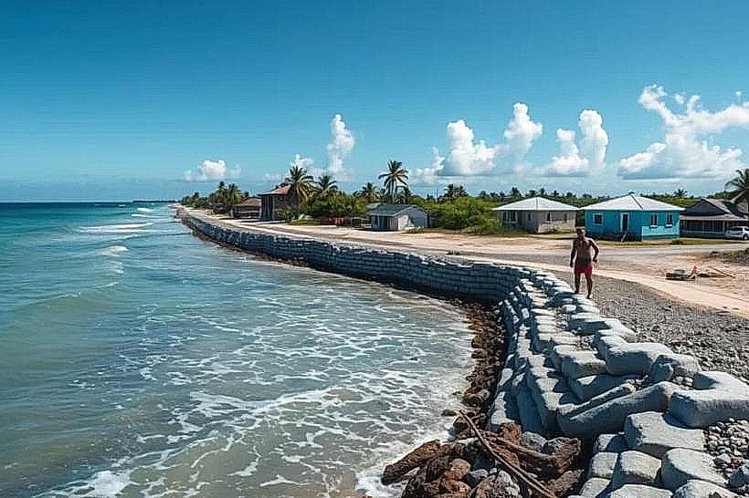
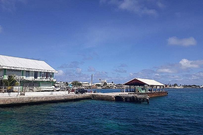
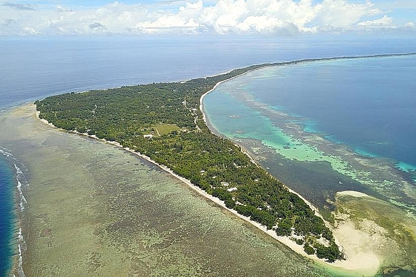
The Rita Area Lagoon Shore is a coastal section located on the eastern side of Majuro Atoll in the Marshall Islands.
This area encompasses a segment of the lagoon's edge, characterized by its shallow waters and sandy shoreline.
Visual Characteristics
The shoreline consists of fine, light-colored sand. The lagoon water is generally clear and shallow, exhibiting shades of turquoise and light blue. Scattered coral fragments and small rocks are present along the water's edge. Vegetation is sparse, primarily consisting of low-lying coastal grasses and occasional coconut palms set back from the immediate shore.
Location & Access Logistics
The Rita Area Lagoon Shore is situated on the eastern end of Majuro Atoll, approximately 5 kilometers east of the main urban center of Delap. Access is via the main atoll road, often referred to as the "Island Ring Road." Public transportation is available via local bus services that traverse this road. Parking is informal and available along the roadside adjacent to the lagoon. No dedicated parking facilities are present.
Historical & Ecological Origin
This coastal area is part of the Majuro Atoll, a coral atoll formed by the accumulation of coral skeletons over a submerged volcanic seamount. The lagoon itself is a shallow body of water enclosed by a ring of coral reefs and islands. The specific shoreline at Rita is a natural depositional feature of the atoll's reef system.
Key Highlights & Activities
Wading in the shallow lagoon waters is possible. The area is suitable for observing marine life in the intertidal zone. Beachcombing for shells and coral fragments can be undertaken. Photography of the lagoon and shoreline is feasible.
Infrastructure & Amenities
No public restrooms are available directly at the Rita Area Lagoon Shore. Shade is limited to natural shade provided by scattered coconut trees. Cell phone signal (4G/5G) is generally available in this area. No food vendors are permanently stationed at this specific location, though informal sales may occur from passing vehicles.
Best Time to Visit
For photography, the early morning (07:00-09:00) and late afternoon (16:00-18:00) offer softer lighting conditions. The best months for stable weather are typically from December to April, which corresponds to the dry season. Low tide is preferable for exploring the exposed sand flats and observing intertidal organisms.
Facts & Legends
Local lore suggests that certain types of shells found along this shore are considered good luck charms if discovered intact. The area is also known for its calm waters, making it a safe place for children to play near the shore under supervision.
Nearby Landmarks
- Laura Village (10km West)
- Majuro Hospital (3km West)
- US Embassy Majuro (4km West)
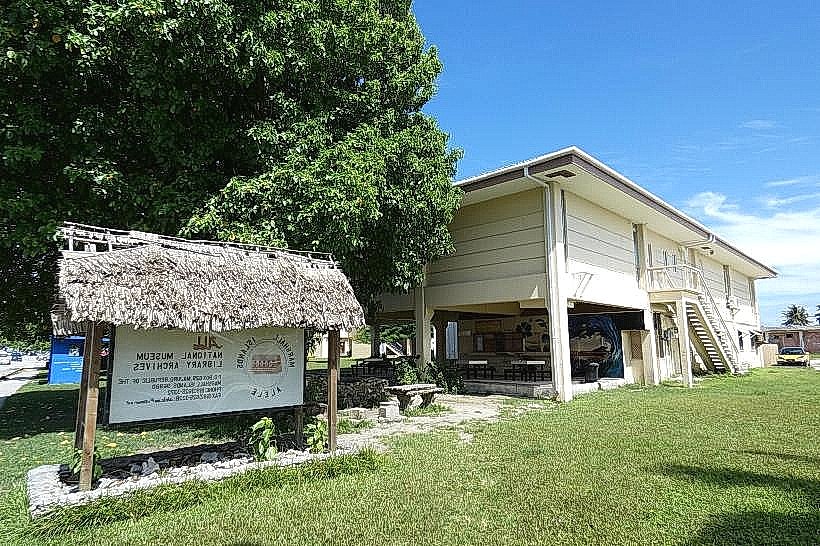
- Marshall Islands National Museum (5km West)