Landmark: Uliga Dockfront
City: Majuro
Country: Marshall Islands
Continent: Australia
Uliga Dockfront, Majuro, Marshall Islands, Australia
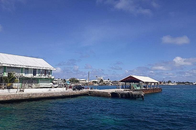
Uliga Dockfront is a public pier located on the eastern side of Majuro Atoll in the Marshall Islands.
It serves as a primary access point for local boat traffic and a gathering place for residents.
Visual Characteristics
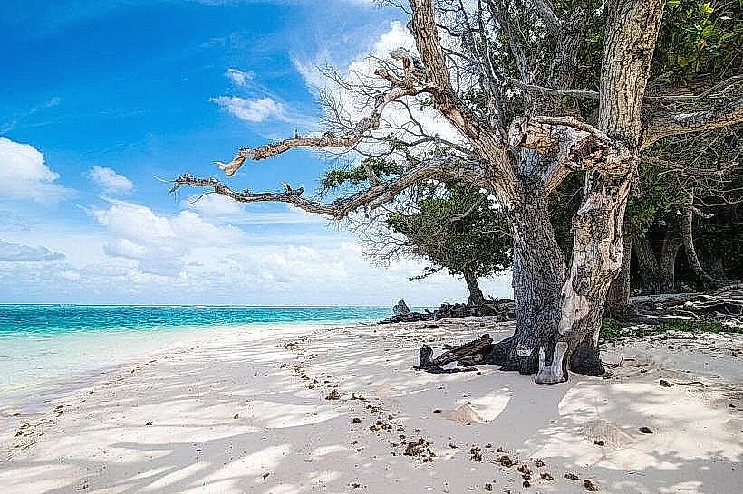
The dockfront consists of a concrete pier extending approximately 100 meters into the lagoon. It is typically lined with moored outrigger canoes and small fishing vessels. The surrounding water is shallow and clear, with a sandy bottom visible in many areas. Vegetation is sparse, consisting mainly of coconut palms along the shoreline.
Location & Access Logistics
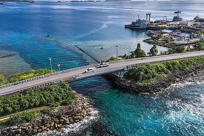
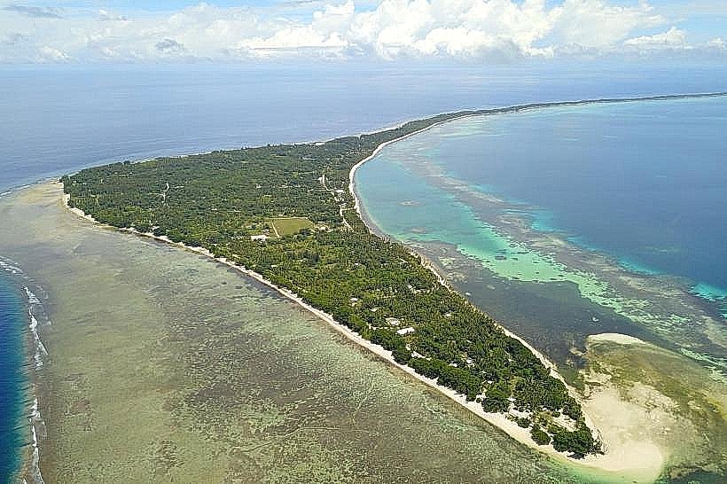
Uliga Dockfront is situated on the eastern end of Delap-Uliga-Djarrit (DUD) island, the most populated island in Majuro Atoll. It is accessible directly from the main road, Ajeltake Road. The dockfront is approximately 3 kilometers east of the main government and commercial center in Delap. Parking is available along the roadside adjacent to the dock. Public transportation, primarily local buses, frequently travels along Ajeltake Road, with stops near the dockfront.
Historical & Ecological Origin
The current concrete structure of Uliga Dockfront was constructed in the late 20th century to replace earlier wooden jetties. Its purpose is to facilitate the loading and unloading of passengers and goods for inter-island travel and local fishing activities. Ecologically, it is situated within the Majuro Atoll lagoon, a coral reef system formed over millennia.
Key Highlights & Activities
Observation of local maritime activity. Access point for chartering small boats for lagoon excursions. Fishing from the pier is permitted. Viewing of sunset over the western lagoon.
Infrastructure & Amenities
Restrooms are located at the base of the dockfront. Limited shade is provided by a small covered waiting area. Cell phone signal (4G) is generally available. Small food vendors and convenience stores are located within a 50-meter radius of the dockfront.
Best Time to Visit
For photography, early morning (07:00-09:00) offers soft light and active boat departures. Late afternoon (16:00-18:00) provides good lighting for the lagoon. The best months for weather are generally from December to April, which is the dry season. High tide is preferable for boat access.
Facts & Legends
Uliga Dockfront is a central hub for the daily lives of Majuro residents, serving as a primary point of connection for those living on outer islands or engaged in fishing. A local anecdote suggests that the best time to see a variety of traditional outrigger canoes is during the early morning hours when fishermen prepare for their daily catch.
Nearby Landmarks
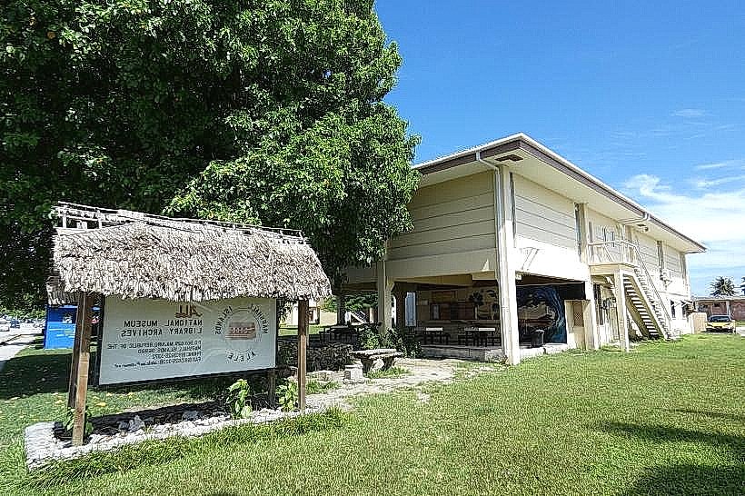
- Marshall Islands National Museum (1.5km West)
- Majuro State School (0.8km West)
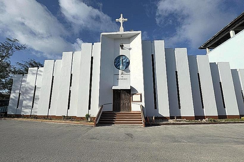
- Uliga Catholic Church (0.3km West)
- Alele Museum and Public Library (1.8km West)