Landmark: RRE Ocean Walk
City: Majuro
Country: Marshall Islands
Continent: Australia
RRE Ocean Walk, Majuro, Marshall Islands, Australia
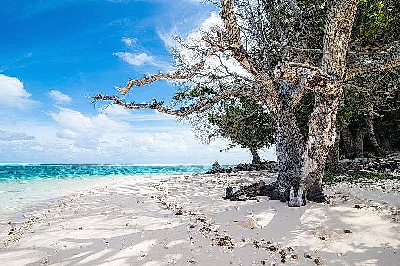
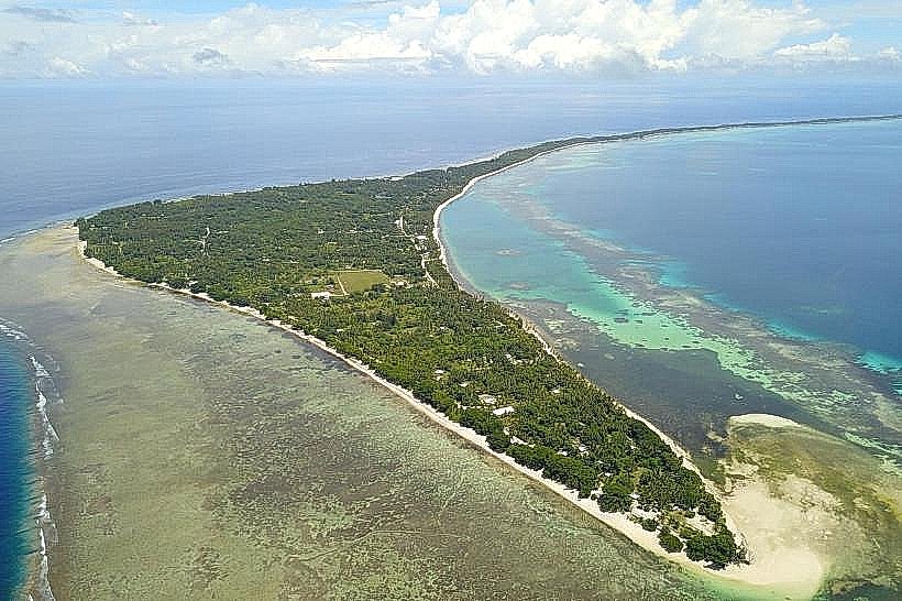
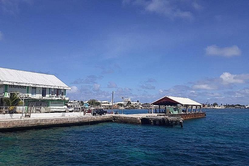
RRE Ocean Walk is a coastal pathway located on the eastern side of Majuro Atoll in the Marshall Islands.
This paved walkway follows the shoreline, offering views of the Pacific Ocean.
Visual Characteristics
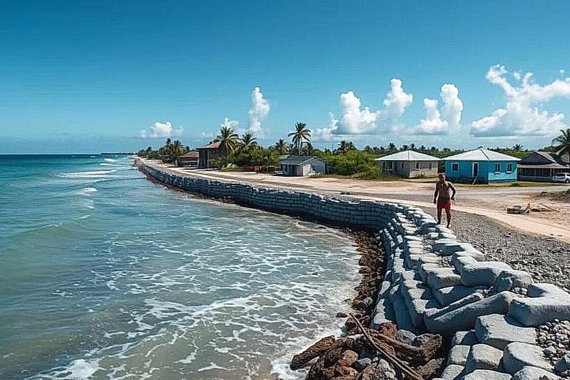
The walkway is constructed of concrete, approximately 2 meters wide. It is bordered on one side by the ocean and on the other by low-lying vegetation, primarily coconut palms and salt-tolerant shrubs. The ocean side features a low concrete barrier. The pavement is a neutral grey. The vegetation is dense in some areas, sparse in others.
Location & Access Logistics
RRE Ocean Walk is situated on the eastern end of the main island of Majuro, accessible via the main road, which is also known as Airport Road. It is approximately 10 kilometers east of the Delap-Djarrit commercial center. Parking is available along the shoulder of Airport Road adjacent to the walkway. Public transport, specifically local bus services that run along Airport Road, can be used to reach the vicinity.
Historical & Ecological Origin
The construction of RRE Ocean Walk was part of a local infrastructure development project aimed at improving public access to the coastline. The land it occupies is part of the Majuro Atoll, a coral atoll formed by the accumulation of coral reefs over a submerged volcanic seamount. The ecological environment is characteristic of a low-lying coral island.
Key Highlights & Activities
Walking and jogging are the primary activities. Observation of marine life in the shallow waters is possible. Photography of the ocean and coastal landscape can be undertaken. The pathway provides a continuous route for exercise along the coast.
Infrastructure & Amenities
Restrooms are not directly integrated into the walkway itself but may be found at nearby commercial establishments. Shade is limited, primarily provided by natural vegetation. Cell phone signal (4G/5G) is generally available. Food vendors are present in the commercial areas closer to the city center, but not directly along the walkway.
Best Time to Visit
For photography, early morning (sunrise) and late afternoon (sunset) offer optimal lighting conditions. The weather is generally consistent year-round, with average temperatures around 28°C. There are no specific tide requirements for using the walkway.
Facts & Legends
A local anecdote suggests that during certain calm periods, one can observe the distinct layering of the coral reef structure beneath the clear ocean surface from the edge of the walkway.
Nearby Landmarks
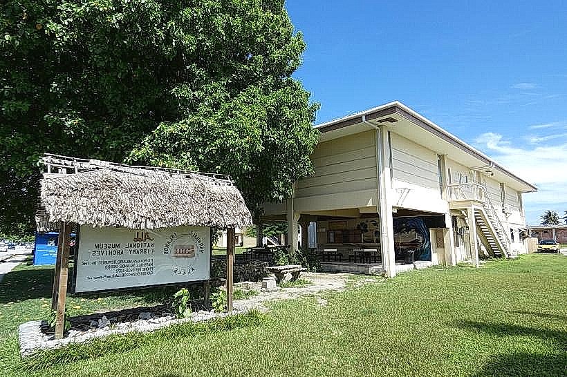
- Marshall Islands National Museum (3.5km West)
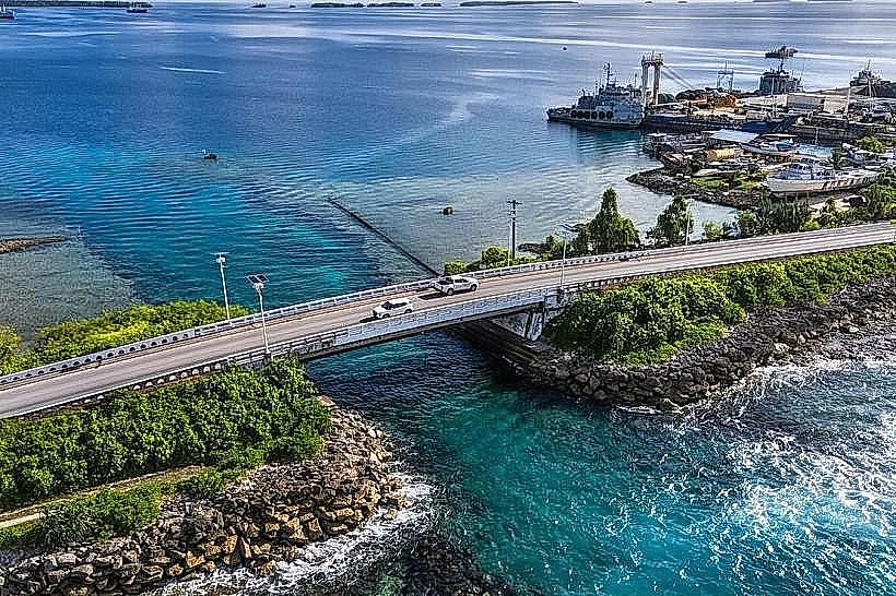
- Majuro Bridge (4.0km West)
- Laura Village (8.0km West)
- US Embassy Majuro (5.5km West)