Information
Landmark: Saguaro National ParkCity: Tucson
Country: USA Arizona
Continent: North America
Saguaro National Park, Tucson, USA Arizona, North America
Saguaro National Park is a protected desert landscape located on the outskirts of Tucson, Arizona, USA.
The park preserves a significant population of saguaro cacti, a defining species of the Sonoran Desert.
Visual Characteristics
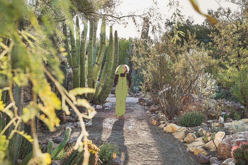
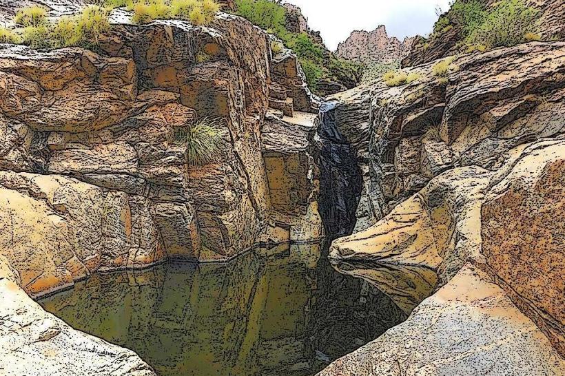
The park's terrain consists of arid desert valleys and foothills of the Tucson Mountains and Rincon Mountains. Dominant vegetation includes the saguaro cactus (Carnegiea gigantea), characterized by its tall, columnar trunk and branching arms, reaching heights of up to 40 feet. Other flora includes creosote bush, prickly pear cactus, and ocotillo. Rock formations are primarily granite and volcanic rock, with some areas exhibiting alluvial fans and washes.
Location & Access Logistics
Saguaro National Park is divided into two districts: the West (Tucson Mountain) District and the East (Rincon Mountain) District. The West District is approximately 15 miles west of downtown Tucson. Access is via Arizona State Route 86 (Ajo Highway) to Kinney Road. The East District is approximately 12 miles east of downtown Tucson. Access is via Broadway Boulevard to Old Spanish Trail. Parking is available at visitor centers and designated pull-offs along park roads. Public transportation options are limited; the Sun Tran bus system serves areas near the park entrances, but direct service into the park is not available.
Historical & Ecological Origin
The area was designated as Saguaro National Monument in 1933 and elevated to National Park status in 1994. Its ecological origin is rooted in the Sonoran Desert, a region characterized by its unique biodiversity and two distinct rainy seasons. The saguaro cactus itself is a keystone species, providing habitat and food for numerous desert animals. The geological formations are a result of tectonic activity and erosion over millions of years.
Key Highlights & Activities
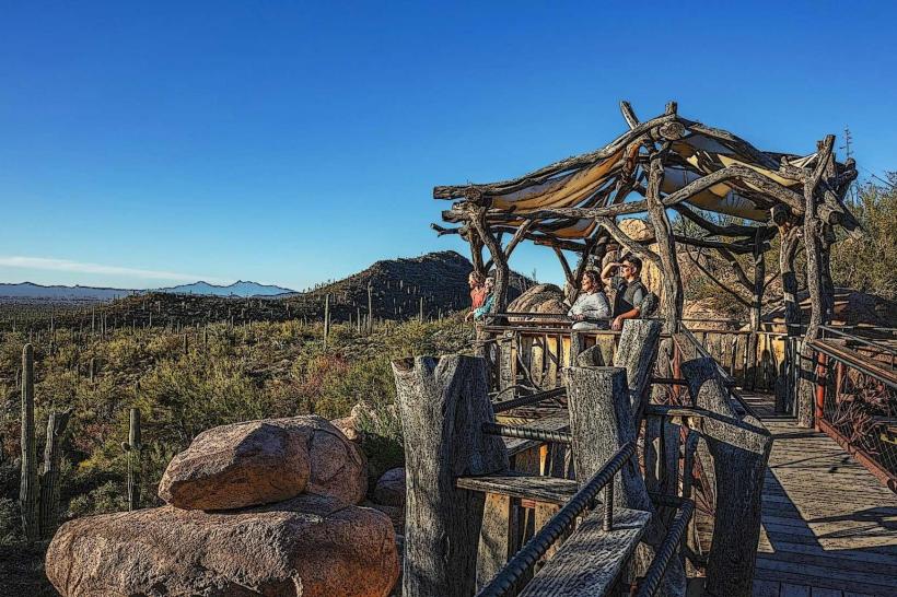
Activities include hiking on designated trails such as the Bajada Nature Trail (West District) and the Mica Mine Trail (East District). Scenic drives are available on the Signal Hill Road (West District) and the Cactus Forest Loop Drive (East District). Wildlife viewing opportunities exist for desert animals like javelina, coyotes, and various bird species. Photography of the saguaro cacti and desert landscapes is a primary activity.
Infrastructure & Amenities
Restrooms are available at the main visitor centers (Red Hills Visitor Center in the West District and Rincon Mountain Visitor Center in the East District) and at some picnic areas. Shade is limited, primarily found at picnic sites and visitor centers. Cell phone signal is intermittent and generally poor throughout the park. Food vendors are not present within the park; visitors should bring their own supplies. Water is available at visitor centers.
Best Time to Visit
The best time for visiting is during the cooler months, from October to April. Daytime temperatures are moderate, ranging from 60-80°F (15-27°C). The saguaro cacti bloom in late spring, typically May and June, attracting pollinators. Sunrise and sunset offer optimal lighting conditions for photography, with softer light and longer shadows.
Facts & Legends
The saguaro cactus can live for over 150 years and weigh up to 8,000 pounds when fully hydrated. A unique tip for visitors is to look for saguaro cacti with multiple arms; these are typically older specimens and are considered more visually striking. Local Tohono O'odham tradition holds that the saguaro is a sacred plant, and its fruit is used in traditional ceremonies.
Nearby Landmarks
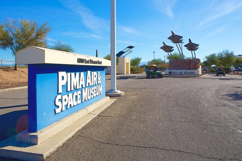
- Arizona-Sonora Desert Museum: 3km West
- Tucson Mountain Park: Adjacent to West District
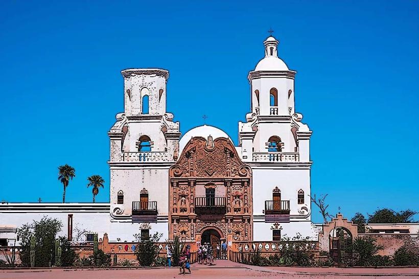
- Mission San Xavier del Bac: 15km South
- Kitt Peak National Observatory: 50km West
- Colossal Cave Mountain Park: 25km East