Landmark: San Joaquin River Parkway
City: Fresno
Country: USA California
Continent: North America
San Joaquin River Parkway, Fresno, USA California, North America
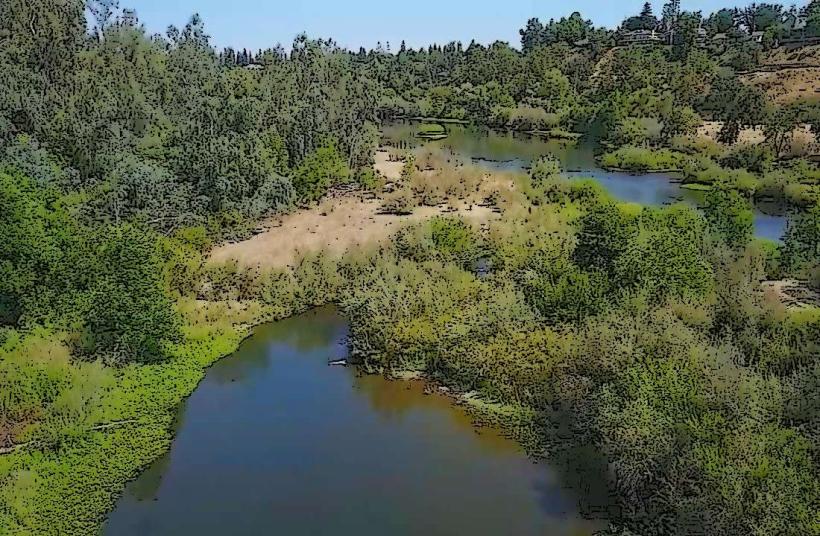
The San Joaquin River Parkway is a 6,000-acre conservation and recreation area located along the San Joaquin River in Fresno, California.
It encompasses a network of trails, natural habitats, and developed recreational sites managed by the San Joaquin River Parkway and Conservation Trust.
Visual Characteristics
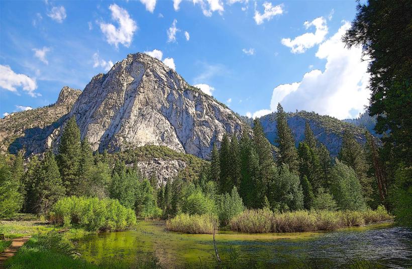
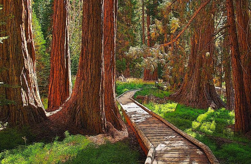
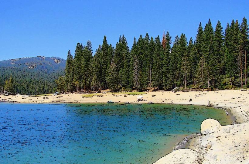
The parkway features a riparian corridor with a mix of native and non-native vegetation. Dominant tree species include cottonwoods, willows, and oaks. The river itself varies in width and depth, with sandy banks and occasional gravel bars. Open grassland areas are interspersed with denser brush.
Location & Access Logistics
Access points are distributed along the river. The main entrance to the Spano River Ranch unit is via North Friant Road, approximately 10 miles northeast of downtown Fresno. Parking is available at designated trailheads and day-use areas. Public transport options are limited; the Fresno Area Express (FAX) bus system does not directly serve most parkway access points. Car access is the primary method.
Historical & Ecological Origin
The San Joaquin River is a major river in the Central Valley of California, historically supporting extensive riparian ecosystems. The parkway's origin is rooted in conservation efforts to protect and restore this vital corridor, which had been impacted by agricultural development and water management practices. The area is classified as a Central Valley riparian habitat.
Key Highlights & Activities
Hiking and biking are permitted on designated trails, such as the Lewis S. Eaton Trail. Birdwatching is a common activity due to the diverse avian populations. Kayaking and canoeing are possible on sections of the river when water levels are sufficient. Fishing is allowed in designated areas.
Infrastructure & Amenities
Restrooms are available at developed sites like Spano River Ranch and Sycamore Island. Shade structures are present in some picnic areas. Cell phone signal strength varies significantly throughout the parkway, with 4G/5G coverage being inconsistent. Food vendors are not typically found within the parkway itself; visitors should bring their own provisions.
Best Time to Visit
For optimal hiking and wildlife viewing, the spring (March-May) and fall (September-November) months offer moderate temperatures. Early morning and late afternoon provide the best lighting for photography. River access for water activities is dependent on seasonal water flow and dam releases, typically best in late spring and early summer.
Facts & Legends
The San Joaquin River was historically a significant source of water for indigenous tribes, including the Yokuts people. A specific local legend speaks of the river spirit guarding the valley's water resources. A practical tip for visitors is to be aware of rattlesnakes, which are native to the grassland and chaparral areas.
Nearby Landmarks
- Friant Dam (3.5km North)
- Woodward Park (7.2km Southwest)
- Table Mountain Regional Park (12.1km Northeast)
- San Joaquin River Gorge (15.8km East)