Information
Landmark: Sequoia National ParkCity: Fresno
Country: USA California
Continent: North America
Sequoia National Park, Fresno, USA California, North America
Sequoia National Park is a protected area in California's Sierra Nevada mountains, located east of Fresno.
The park preserves a significant portion of the Giant Forest, home to the largest trees on Earth.
Visual Characteristics
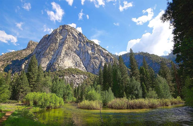
The park features dense coniferous forests dominated by giant sequoia trees (Sequoiadendron giganteum), which can reach heights exceeding 250 feet and diameters of over 30 feet. The forest floor is covered with pine needles and undergrowth. Granite rock formations, including Moro Rock, are prominent. Rivers, such as the Kaweah River, flow through the park, with water color varying from clear to sediment-laden depending on flow. Elevation ranges from approximately 1,370 feet to over 14,000 feet.
Location & Access Logistics
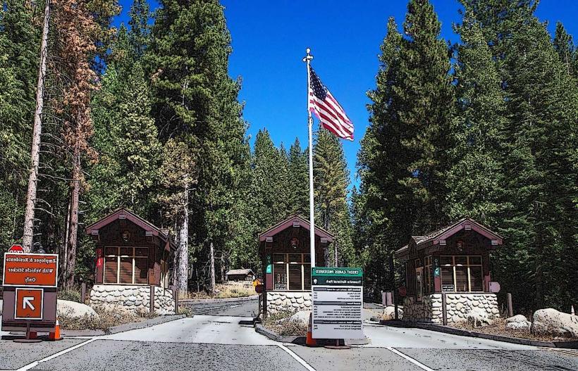
Sequoia National Park is accessible via Generals Highway (State Route 198). The nearest major city is Fresno, approximately 60 miles west of the park's Ash Mountain Entrance. From Fresno, take CA-180 East to CA-65 South, then CA-198 East towards Three Rivers. Parking is available at designated lots within the Giant Forest Museum area, Lodgepole, and various trailheads. Limited shuttle services operate seasonally within the Giant Forest and to popular trailheads. No public bus lines directly serve the park entrance.
Historical & Ecological Origin
Sequoia National Park was established on September 25, 1890, making it the second national park in the United States. Its primary purpose was to protect the giant sequoia trees from logging. The park's geology is characterized by Sierra Nevada batholith granite, shaped by glacial activity and erosion over millions of years. The Giant Forest ecosystem is a temperate coniferous forest, supporting a unique biodiversity adapted to the presence of giant sequoias.
Key Highlights & Activities
Visitors can observe the General Sherman Tree, the world's largest tree by volume. Hiking is available on numerous trails, including the Congress Trail (2 miles loop) and the Moro Rock trail (0.5 miles roundtrip, paved steps). Ranger-led programs are offered seasonally. Driving the Generals Highway provides access to various viewpoints and groves. Camping is permitted in designated campgrounds.
Infrastructure & Amenities
Restrooms are available at major visitor centers and campgrounds. Shade is abundant within the sequoia groves. Cell phone signal is intermittent and generally unavailable in most areas of the park, with limited 4G/5G coverage near the Lodgepole area. Food services, including a market and restaurant, are located at Lodgepole and Wuksachi Lodge. Visitor centers provide information and exhibits.
Best Time to Visit
The best time for general visitation is from late spring through early fall (May to October) when most roads and facilities are open. Summer months (June-August) offer the warmest weather but also the highest visitor numbers. For photography, early morning or late afternoon light provides optimal illumination of the sequoia trees. Snowfall can occur from November through April, impacting road access and requiring tire chains.
Facts & Legends
The General Sherman Tree is estimated to be between 2,200 and 2,700 years old. A unique tip for visitors is to explore the less-crowded Crescent Meadow area, which offers a different perspective on the scale of the sequoias and is known for its historical significance as the site where John Muir camped.
Nearby Landmarks
- Kings Canyon National Park (0km North)
- Grant Grove (5km North)
- General Grant Tree (5km North)
- Crystal Cave (10km Southwest)
- Lake Kaweah (30km Southwest)