Information
Landmark: Sandy Beach (Dennery Bay)City: Dennery
Country: Saint Lucia
Continent: North America
Sandy Beach (Dennery Bay), Dennery, Saint Lucia, North America
Sandy Beach is a coastal area situated within Dennery Bay on the island of Saint Lucia.
Visual Characteristics
The beach consists of light brown, coarse sand. The water clarity varies, often appearing turquoise closer to shore and deepening to a darker blue further out. The shoreline is bordered by a moderate density of palm trees and low-lying coastal vegetation. No significant rock formations are present along the immediate beach area.
Location & Access Logistics
Sandy Beach is located approximately 1.5 kilometers east of the Dennery town center. Access is via the Eastern Main Road (A4), turning south onto a smaller, unpaved track approximately 200 meters before reaching the Dennery Bay overlook. This track leads directly to the beach. Limited informal parking is available on the sand. Public transport options include the local bus service that runs between Castries and Micoud, with stops in Dennery town; passengers would then need to walk or arrange local transport for the final 1.5km.
Historical & Ecological Origin
Sandy Beach is a natural accumulation of marine sediment, characteristic of the island's volcanic geology and coastal erosion processes. It is part of the Dennery Bay ecosystem, which supports coastal flora and fauna.
Key Highlights & Activities
Swimming is possible in the bay. Beachcombing for shells and sea glass is a common activity. The area is suitable for picnicking. Fishing from the shore is practiced by local residents.
Infrastructure & Amenities
There are no permanent restroom facilities or designated shade structures. No food vendors are permanently stationed at the beach, though occasional local vendors may be present. Cell phone signal (4G) is generally available.
Best Time to Visit
For photography, early morning (07:00-09:00) offers softer light. The driest months are typically January through April. Tidal conditions do not significantly impact access or usability of the beach.
Facts & Legends
Local folklore suggests that the sand composition is influenced by the nearby coral reefs, though geological analysis is required for verification. A specific tip for visitors is to be aware of the strong undertow that can occur during rougher sea conditions.
Nearby Landmarks
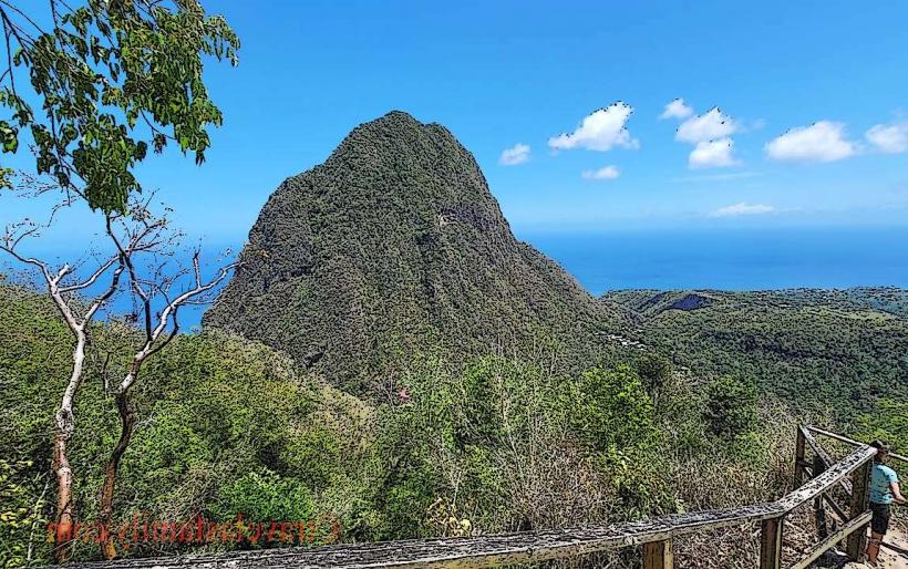
- Dennery Bay Overlook (0.3km Northwest)
- St. Joseph the Worker Church, Dennery (1.2km West)
- La Pointe Beach (2.5km South)
- Anse Mamin (4.0km Southwest)