Information
Landmark: Sault FallsCity: Dennery
Country: Saint Lucia
Continent: North America
Sault Falls, Dennery, Saint Lucia, North America
Sault Falls is a waterfall located within the Dennery district of Saint Lucia. It is a natural cascade of water flowing over rock formations.
Visual Characteristics
The waterfall descends approximately 15 meters over a series of stepped rock ledges. The water is typically clear, with a light brown or green tint depending on recent rainfall and sediment. The surrounding vegetation is dense tropical rainforest, characterized by broadleaf trees and ferns. The rock face is primarily composed of volcanic basalt.
Location & Access Logistics
Sault Falls is situated approximately 8 kilometers inland from the town of Dennery. Access is via the Dennery Valley Road (B4). From Dennery town center, proceed north on the B4 for approximately 7 kilometers. A small, unpaved access track branches off to the east, marked by a sign for "Sault Falls." This track is approximately 1 kilometer long and is suitable for 4x4 vehicles. Standard vehicles may park at the junction of the B4 and the access track. Public transport to Dennery is available via bus routes 5, 5A, and 5B from Castries. From Dennery town, local taxis can be hired to reach the vicinity of the falls, though direct drop-off at the waterfall's base is not always feasible due to track conditions.
Historical & Ecological Origin
Sault Falls is a product of natural geological processes, formed by the erosion of volcanic rock over millennia. The Dennery Valley itself is part of the older volcanic complex of Saint Lucia. The area is classified as a tropical rainforest ecosystem, supporting a diverse range of flora and fauna.
Key Highlights & Activities
Observation of the waterfall cascade. Swimming is possible in the plunge pool at the base of the falls during dry periods. Hiking along the stream bed above the falls is permitted, though caution is advised due to slippery rocks. Photography of the natural scenery.
Infrastructure & Amenities
There are no formal facilities at Sault Falls. Restrooms are not available. Natural shade is provided by the surrounding forest canopy. Cell phone signal (4G/5G) is intermittent and unreliable within the immediate vicinity of the falls. No food vendors are present at the site; visitors should bring their own provisions.
Best Time to Visit
The best time of day for photography is between 10:00 AM and 2:00 PM when sunlight penetrates the canopy. The best months for visiting are generally from January to May, during the drier season, when water flow is consistent but not excessive. During the wet season (June to December), the falls can become significantly more powerful, potentially making access and swimming hazardous.
Facts & Legends
Local folklore suggests that the waters of Sault Falls possess minor healing properties, particularly for skin ailments. This belief is not scientifically verified. A specific tip for visitors: wear sturdy, water-resistant footwear as the rocks around the falls are consistently damp and can be very slippery.
Nearby Landmarks
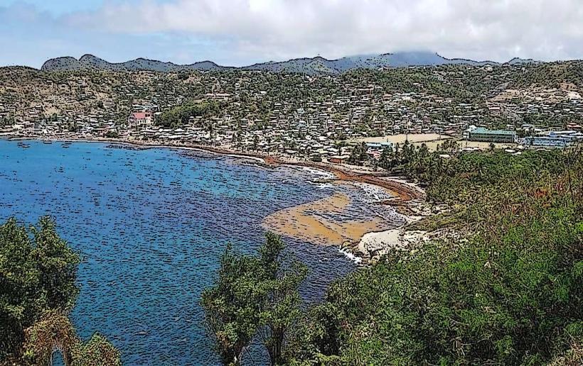
- Dennery Bay (3.5km Southeast)
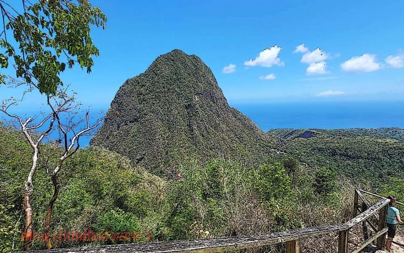
- Mount Gimie (12km Southwest)
- Pitons (approx. 30km Southwest)
- Diamond Falls Botanical Gardens (approx. 28km Southwest)
- Marquis Estate (7km North)