Landmark: São Filipe Historic Center
City: Sao Filipe
Country: Cabo Verde
Continent: Africa
São Filipe Historic Center, Sao Filipe, Cabo Verde, Africa
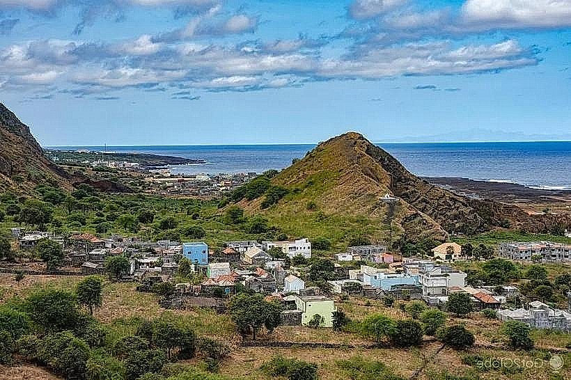
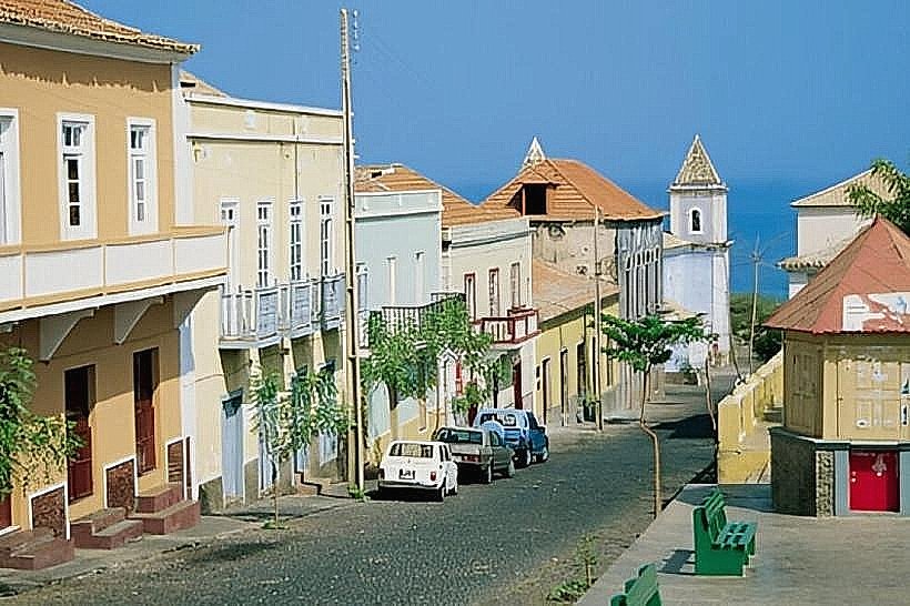
The São Filipe Historic Center is a preserved colonial urban area located in the city of São Filipe, on the island of Fogo, Cabo Verde.
This district represents a significant example of Portuguese colonial urban planning in the Atlantic.
Visual Characteristics
The historic center is characterized by its grid-like street layout, with buildings constructed primarily from volcanic stone and lime mortar. Structures typically feature whitewashed facades, red-tiled roofs, and wrought-iron balconies. Many buildings are single or two-story, with a uniform architectural style reflecting 18th and 19th-century Portuguese colonial design. The main square, Praça da República, is paved and surrounded by key administrative and religious buildings.
Location & Access Logistics
São Filipe Historic Center is situated in the upper part of the city of São Filipe, approximately 1.5 km inland from the port. Access is via the main road, Avenida 5 de Julho, which leads directly into the historic district. Parking is available on side streets and in designated areas around Praça da República, though spaces can be limited during peak hours. Public transport within São Filipe consists of shared taxis (aluguers) that operate on fixed routes, including those serving the city center.
Historical & Ecological Origin
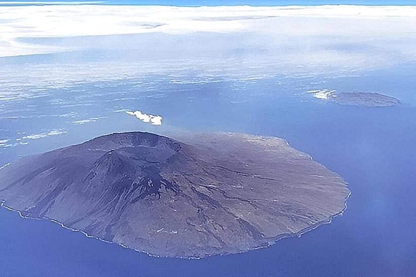
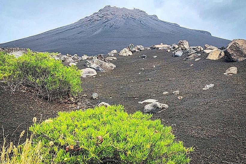
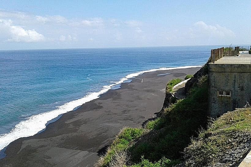
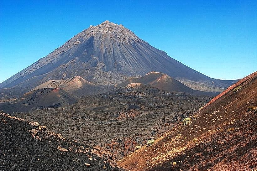
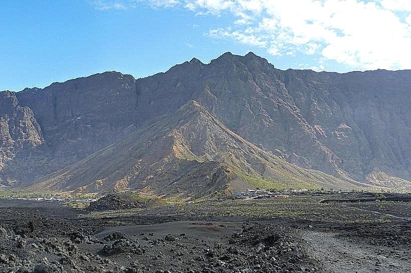
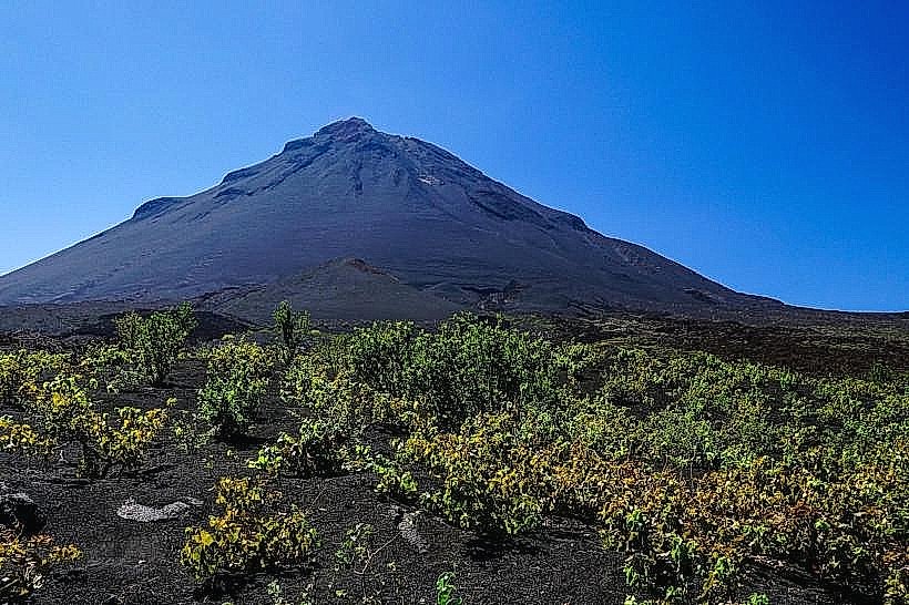
Founded in the 15th century, São Filipe developed as a significant administrative and commercial center for the Portuguese colonial administration on Fogo. The current urban layout and architectural style largely date from the 18th and 19th centuries, following periods of rebuilding after volcanic activity and pirate raids. The city is built on volcanic soil, with the surrounding landscape shaped by past eruptions of Pico do Fogo.
Key Highlights & Activities
Visitors can walk the grid-patterned streets, observing the colonial architecture. The main square, Praça da República, is a central point for observation. The Igreja Nossa Senhora da Conceição, a historic church, is located on the square. The Municipal Museum (Museu Municipal) offers insights into local history and culture. Exploring the residential streets reveals the consistent architectural style.
Infrastructure & Amenities
Restrooms are available in some cafes and public buildings within the historic center. Shade is provided by building overhangs and some trees along the main streets. Cell phone signal (4G) is generally reliable throughout the area. Food vendors and small restaurants are located around Praça da República and on adjacent streets.
Best Time to Visit
The best time of day for photography is in the late morning or late afternoon when the sunlight creates defined shadows on the whitewashed buildings. The dry season, from November to June, offers the most favorable weather conditions with minimal rainfall. There are no specific tide requirements for visiting the historic center.
Facts & Legends
A notable historical oddity is the presence of "sobas," traditional African chiefs, who were integrated into the colonial administrative structure in Cabo Verde, with some evidence of their influence in the early development of São Filipe. The city's layout is often cited as an early example of planned urbanism in the Portuguese empire.
Nearby Landmarks
- Igreja Nossa Senhora da Conceição (0.1km North)
- Museu Municipal (0.2km West)
- Praça da República (0.0km)
- Fogo Island Airport (4.5km Southeast)
- Pico do Fogo National Park (15km Southwest)