Landmark: Sendero Macuco
City: Iguazu
Country: Argentina
Continent: South America
Sendero Macuco, Iguazu, Argentina, South America
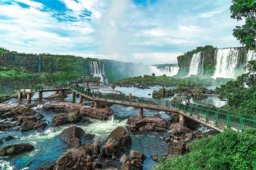
Sendero Macuco is a 1.5 kilometer walking trail located within Iguazu National Park, Argentina. It leads to a waterfall and a natural pool.
Visual Characteristics
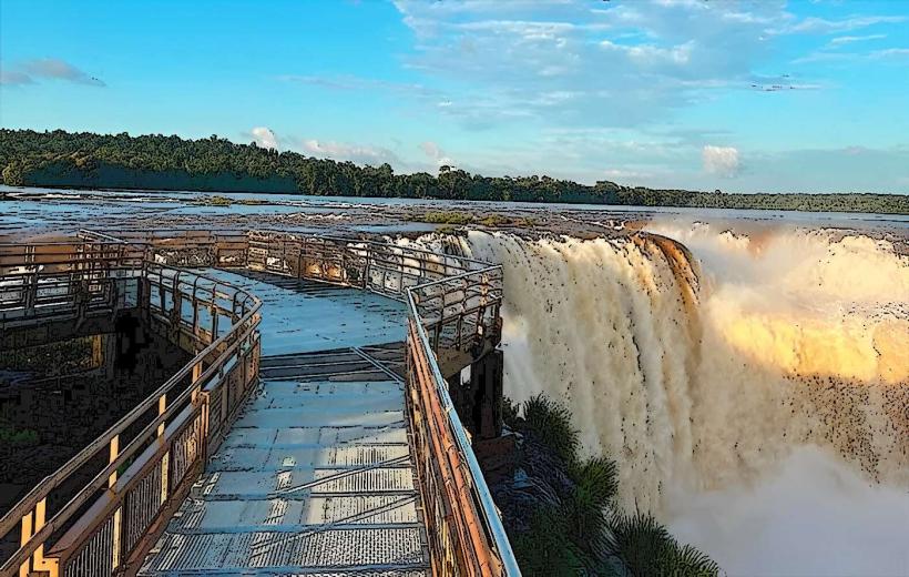
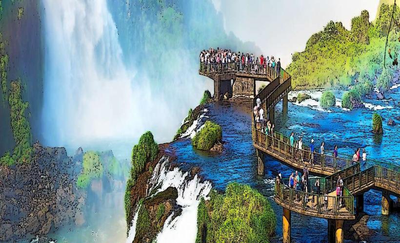
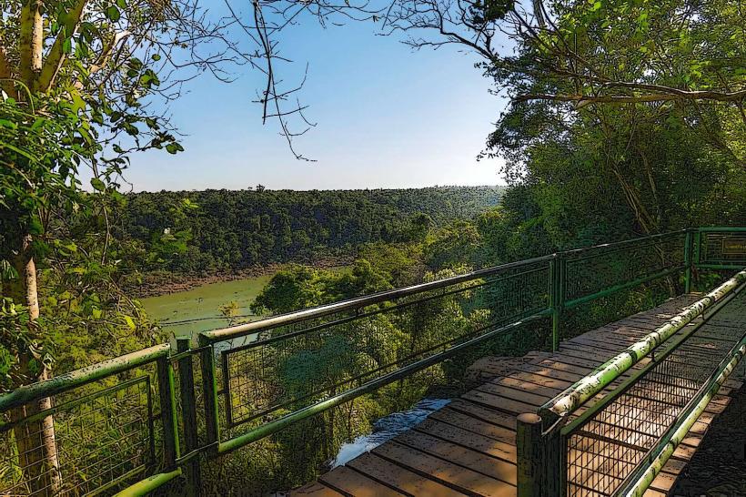
The trail is primarily unpaved earth, with sections of packed gravel. It is bordered by dense subtropical rainforest vegetation, characterized by large ferns, broad-leafed trees, and climbing vines. The path is generally shaded by the forest canopy. The waterfall at the trail's end is approximately 8 meters high, with water cascading over moss-covered rock formations into a clear, shallow pool. The pool's bottom is composed of smooth river stones.
Location & Access Logistics
Sendero Macuco is situated within Iguazu National Park, approximately 18 kilometers north of the city of Puerto Iguazú. Access is via National Route 12. The trailhead is marked and located approximately 500 meters from the park's main visitor center. Parking is available at the visitor center. Public transport to the park entrance is provided by local bus lines (e.g., Linea 5) originating from Puerto Iguazú. From the park entrance, it is a 500-meter walk to the trailhead.
Historical & Ecological Origin
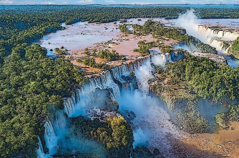
The trail follows a natural watercourse within the Atlantic Forest biome, a region characterized by high biodiversity and humidity. The forest ecosystem is estimated to be millions of years old, shaped by geological processes and climate. The trail itself was established by park authorities to provide controlled access to the waterfall, minimizing environmental impact.
Key Highlights & Activities
Walking the Sendero Macuco trail. Swimming in the natural pool at the waterfall's base. Observing local flora and fauna, including various bird species and insects. Photography of the waterfall and surrounding forest.
Infrastructure & Amenities
The trail has no dedicated restrooms or food vendors. Limited shade is provided by the forest canopy. Cell phone signal (4G/5G) is generally unavailable along the trail and at the waterfall. There are no seating areas along the path.
Best Time to Visit
The best time of day for photography is between 10:00 AM and 2:00 PM when sunlight penetrates the canopy. The optimal months for visiting are from April to October, avoiding the peak heat and humidity of summer. The waterfall is accessible year-round, with water flow consistent.
Facts & Legends
The name "Macuco" refers to a type of ground bird found in the region. Local lore suggests the pool at the waterfall's base has restorative properties, though this is unverified.
Nearby Landmarks
- Iguazu National Park Visitor Center (0.5km South)
- Salto Arrechea (2.1km Northeast)
- Salto Mbocay (3.5km East)
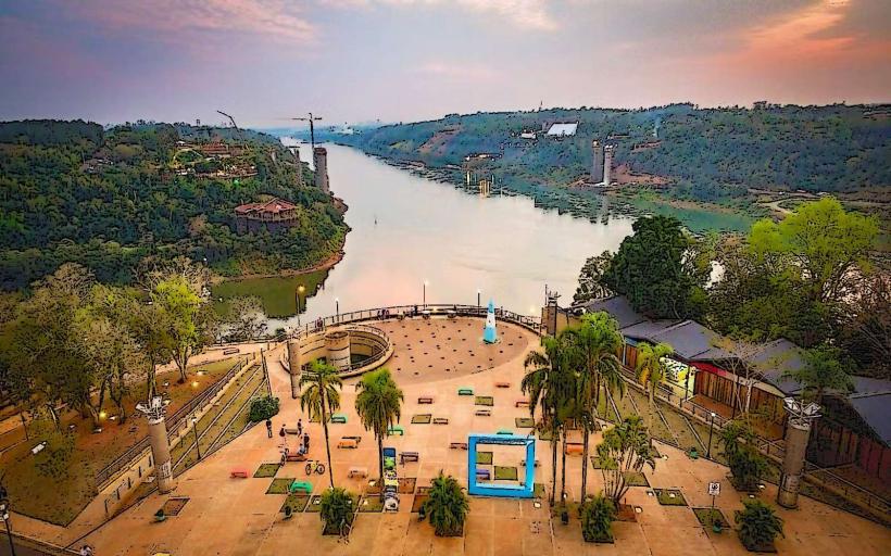
- Hito Tres Fronteras (17.8km Southwest)