Information
Landmark: Skyline Regional ParkCity: Buckeye
Country: USA Arizona
Continent: North America
Skyline Regional Park, Buckeye, USA Arizona, North America
Skyline Regional Park is a protected natural area located in Buckeye, Arizona. It encompasses a significant portion of the Sonoran Desert landscape.
Visual Characteristics
The park features rolling hills and mountains composed primarily of granite and volcanic rock. Vegetation is characteristic of the Sonoran Desert, with saguaro cacti, palo verde trees, creosote bushes, and various desert wildflowers. Elevations range from approximately 1,600 feet to over 3,000 feet. The terrain is rugged, with dry washes and rocky outcrops.
Location & Access Logistics
Skyline Regional Park is situated approximately 10 miles west of downtown Buckeye. Access is via Skyline Road, which is a paved public road. The park entrance is clearly marked. Ample parking is available at the main trailhead and visitor center area. No public transportation services directly reach the park.
Historical & Ecological Origin
The land comprising Skyline Regional Park is part of the Sonoran Desert ecoregion, characterized by its unique flora and fauna adapted to arid conditions. The geological formations are the result of millions of years of volcanic activity and erosion. The park was established to preserve this desert environment and provide recreational opportunities.
Key Highlights & Activities
Hiking is a primary activity, with over 15 miles of trails ranging in difficulty. Specific trails include the 3.5-mile Skyline Trail (moderate), the 2.2-mile Wild Burro Trail (easy), and the 5.5-mile Ridgeline Trail (difficult). Mountain biking is permitted on designated trails. Birdwatching and wildlife observation are also popular. Stargazing is possible due to low light pollution.
Infrastructure & Amenities
A visitor center is present, offering information and restrooms. Shaded ramadas are located near the main parking area. Potable water is available at the visitor center. Cell phone signal is intermittent within the park, with 4G coverage generally limited to the entrance area. No food vendors are located within the park; visitors should bring their own supplies.
Best Time to Visit
The best time for hiking and outdoor activities is during the cooler months, from October through April. Daytime temperatures can exceed 100°F (38°C) from May to September. Early morning or late afternoon offers optimal lighting for photography, particularly during sunrise and sunset. No tide considerations apply.
Facts & Legends
The park is known for its population of desert bighorn sheep, which are often sighted on the higher ridges. A specific geological feature, "The Sentinel," a prominent rock formation, is a popular landmark for hikers. Local lore sometimes refers to the area as a place where ancient Hohokam trails once traversed.
Nearby Landmarks
- Harquahala Mountain State Park (15km Northwest)
- White Tank Mountain Regional Park (25km East)
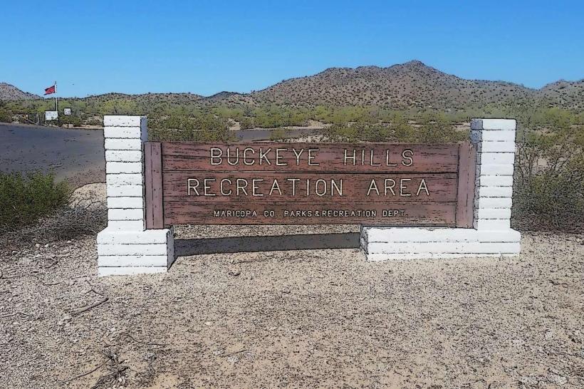
- Buckeye Hills Recreation Area (10km South)
- Lake Pleasant Regional Park (40km Northeast)