Landmark: Sliema Promenade
City: Sliema
Country: Malta
Continent: Europe
Sliema Promenade, Sliema, Malta, Europe
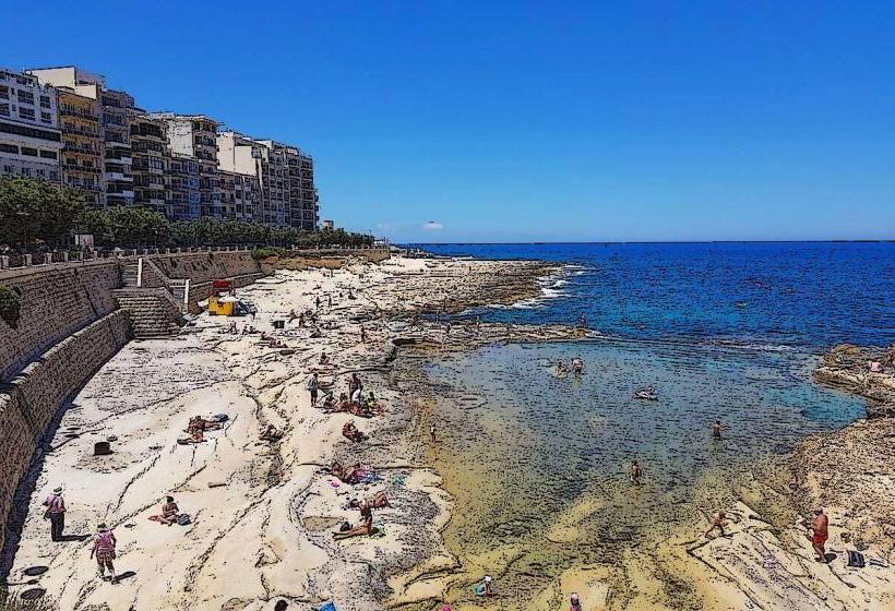
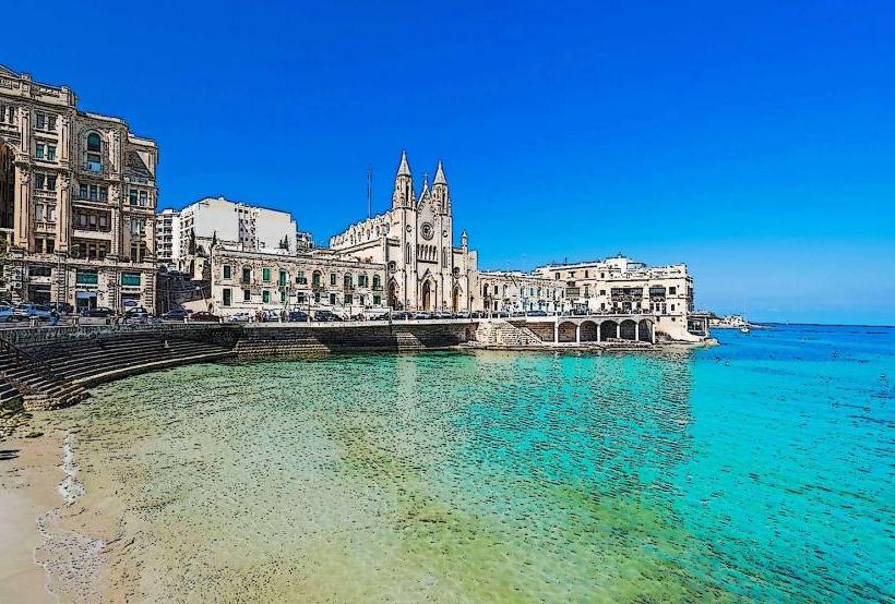
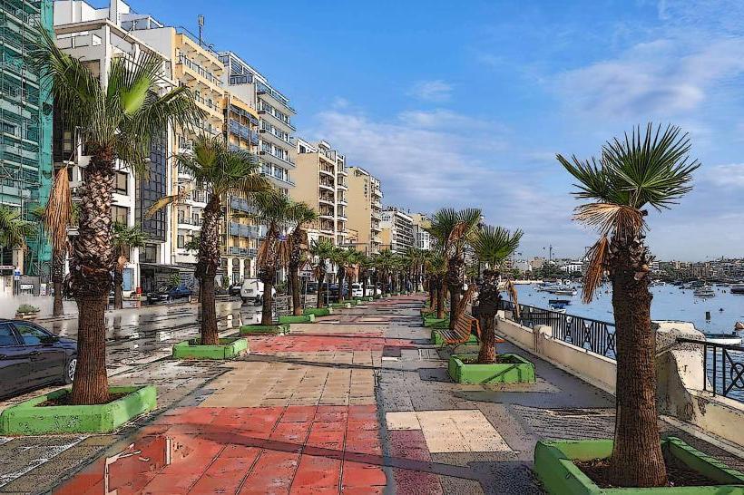
The Sliema Promenade is a coastal walkway extending along the eastern shore of Sliema, Malta, providing public access and recreational space adjacent to the Mediterranean Sea.
Visual Characteristics
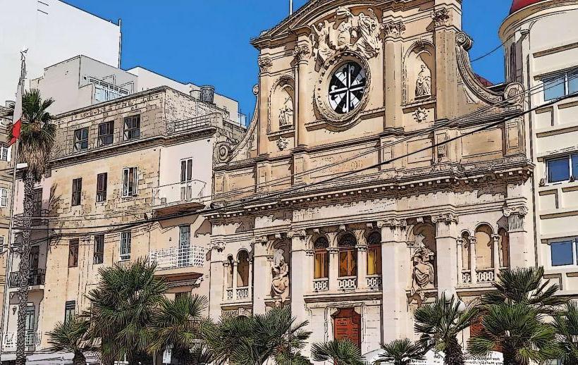
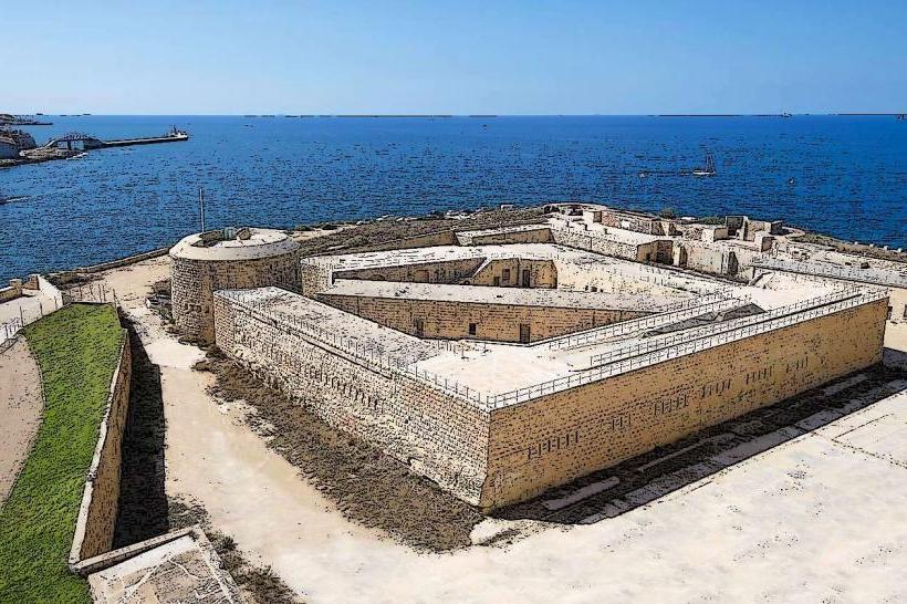
The promenade consists primarily of a paved pedestrian walkway, often bordered by a low stone wall separating it from the rocky coastline. It features numerous benches, streetlights, and occasional palm trees. On the landward side, it is lined by a continuous stretch of multi-story residential and commercial buildings, typically constructed from local limestone in various shades of cream and beige. The walkway maintains a relatively flat elevation, offering unobstructed views of the sea and the distant fortifications of Valletta.
Location & Access Logistics
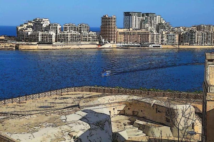
The Sliema Promenade spans approximately 3 kilometers from Balluta Bay in the west to Tigné Point in the east. It runs parallel to major thoroughfares such as Triq ix-Xatt (Tower Road) and Triq Windsor Terrace. It is integral to the Sliema urban area, with its eastern end approximately 0.5km from the Sliema Ferries terminal. Street parking is available but often limited, particularly during peak hours; several paid car parks are located within a 0.5km radius. Numerous public bus routes, including lines 13, 14, 16, 21, 22, 202, and 203, operate along or adjacent to the promenade, providing connections across Malta. Ferry services to Valletta depart from the Sliema Ferries terminal at its eastern end.
Historical & Ecological Origin
The Sliema Promenade is a man-made urban development, evolving over the 20th century to facilitate public access and recreation along the coast. Its construction involved the paving of existing coastal paths and the development of sea walls and access points. There is no single architect or construction date for the entire length, as it has been incrementally developed and upgraded. Its purpose has consistently been to serve as a public amenity for walking, leisure, and access to the sea.
Key Highlights & Activities
Specific activities include walking, jogging, and cycling along the paved path. Designated points along the rocky shore allow for swimming and sunbathing, particularly between Exiles Bay and Fond Għadir. Numerous cafes and restaurants with outdoor seating are situated directly on the promenade. Ferry services to Valletta and harbor cruises depart from the Sliema Ferries terminal at the eastern end.
Infrastructure & Amenities
Public restrooms are available at various points along the promenade, including near Independence Garden and Tigné Point. Shade is limited, primarily provided by scattered trees and the awnings of commercial establishments. Cell phone signal (4G/5G) is consistently strong across its entire length. Numerous food vendors, kiosks, cafes, and restaurants are directly accessible from the promenade.
Best Time to Visit
The best time for photography is during the early morning for sunrise views over the sea, or late afternoon for sunset light reflecting on Valletta. The months of April, May, September, and October offer the most pleasant weather conditions, with mild temperatures and less humidity. During the summer months (June-August), the promenade is popular for evening strolls due to cooler temperatures. Swimming from the rocky areas is generally more comfortable during higher tides.
Facts & Legends
A notable feature along the promenade is the series of "Roman Baths" at Fond Għadir, which are actually rock-cut swimming pools carved into the coastline, allowing for sheltered sea bathing. These pools are a local adaptation to the rocky shore, providing calm water even when the sea is rough.
Nearby Landmarks
- Tigné Point: 0.5km East
- Independence Garden: 0.8km West
- St. Julian's Tower: 1km West
- Balluta Bay: 1.5km West
- Sliema Ferries Terminal: 0.1km East