Landmark: Spearfish Rec Path
City: Spearfish
Country: USA South Dakota
Continent: North America
Spearfish Rec Path, Spearfish, USA South Dakota, North America
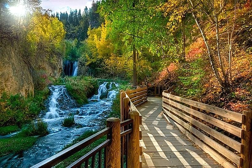
The Spearfish Rec Path is a paved multi-use trail located in Spearfish, South Dakota. It follows the Spearfish Creek corridor through the city.
Visual Characteristics
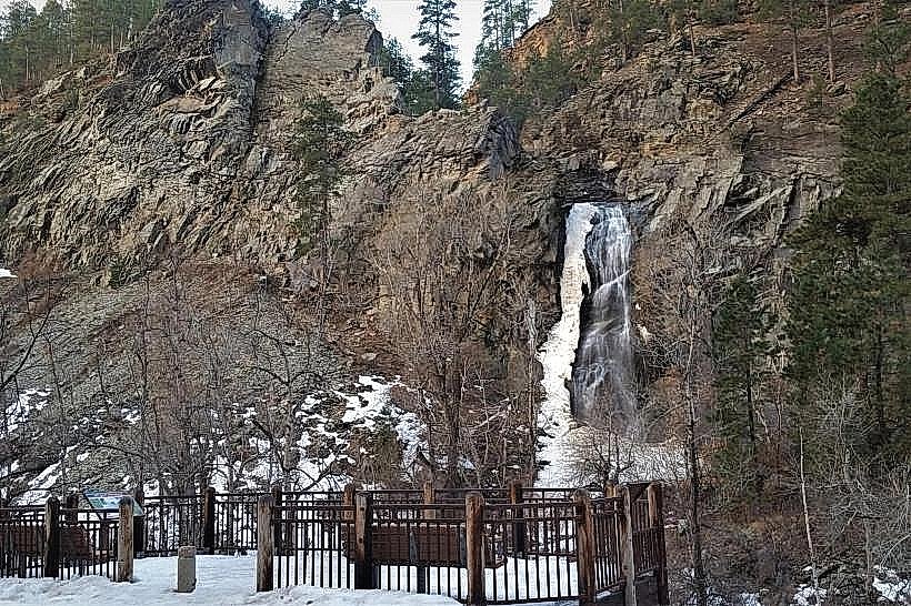
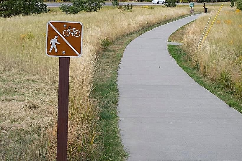
The path is constructed of asphalt, measuring approximately 3 meters in width. It is bordered by Spearfish Creek, which exhibits varying water clarity depending on recent precipitation. The surrounding vegetation consists of deciduous trees, primarily cottonwoods and aspens, with undergrowth of native grasses and shrubs. The terrain is generally flat with gentle undulations.
Location & Access Logistics
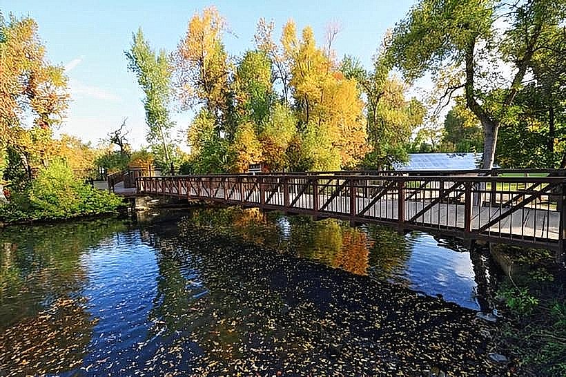
The Spearfish Rec Path extends for approximately 5 kilometers within the city limits. Access points are numerous, with primary entry points located at the west end near the intersection of 27th Street and Canyon Road, and the east end at the Big Hill Recreation Area. Parking is available at designated trailheads, including the Big Hill Recreation Area and several smaller lots along the route. Public transport options are limited; the nearest bus stops are located on Main Street, approximately 1 kilometer from the central sections of the path.
Historical & Ecological Origin
The Spearfish Rec Path was developed in phases, with initial construction beginning in the late 1990s. Its purpose was to provide recreational opportunities and a safe corridor for non-motorized transport along the creek. The path traverses an area shaped by fluvial erosion, with Spearfish Creek acting as the primary geological agent.
Key Highlights & Activities
Activities include walking, jogging, cycling, and inline skating. Birdwatching is possible due to the riparian habitat. The path connects to various city parks, offering opportunities for picnicking. Fishing is permitted in Spearfish Creek, subject to state regulations.
Infrastructure & Amenities
Restrooms are available at major access points, including Big Hill Recreation Area and Rotary Park. Benches are positioned at intervals along the path. Shade is provided by mature trees. Cell phone signal (4G/5G) is generally consistent along the urban sections of the path. No food vendors are directly located on the path; however, businesses are accessible within a 0.5km radius of the central path sections.
Best Time to Visit
For photography, early morning (7:00 AM - 9:00 AM) and late afternoon (4:00 PM - 6:00 PM) offer favorable lighting conditions. The best months for comfortable outdoor activity are May through October, avoiding the winter months when the path may be icy. No tide considerations apply.
Facts & Legends
A local historical oddity is the presence of remnants of an old irrigation ditch system that once paralleled the creek, dating back to the early 20th century. A specific tip for visitors is to observe the different types of rock formations visible in the creek bed, indicative of the region's geological history.
Nearby Landmarks
- Roughlock Falls Nature Area (10km Northwest)
- Black Hills National Forest (Access points within 3km South)
- D.C. Booth Historic National Fish Hatchery (2km West)
- Downtown Spearfish (Adjacent to central sections)