Information
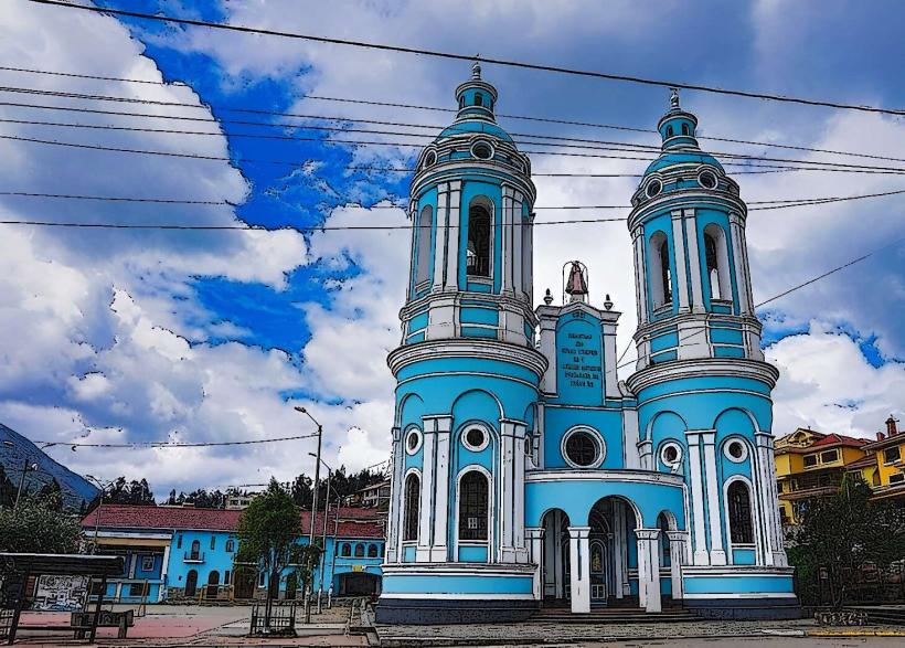
Landmark: Tungurahua VolcanoCity: Banos
Country: Ecuador
Continent: South America
Tungurahua Volcano, Banos, Ecuador, South America
Tungurahua Volcano is an active stratovolcano located in the Eastern Cordillera of the Ecuadorian Andes, adjacent to the town of Banos-de-agua-santa_banos" class="underline">Baños de Agua Santa.
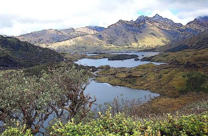
It is a prominent peak within the Llanganates National Park.
Visual Characteristics
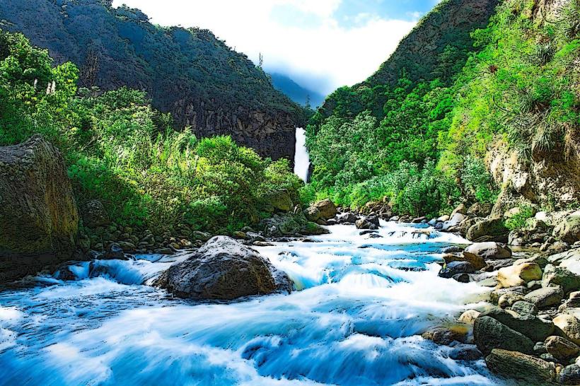
Tungurahua Volcano presents a conical shape with a summit elevation of 5,016 meters (16,457 feet). Its slopes are covered in dense cloud forest vegetation up to approximately 3,500 meters, above which scree slopes and volcanic rock dominate. The summit crater is often obscured by clouds, but visible fumaroles can be observed during periods of low activity. The volcano's base is approximately 10 kilometers in diameter.
Location & Access Logistics
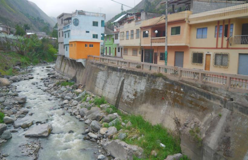
The volcano is situated 5 kilometers south of Baños de Agua Santa. Access to the lower slopes and observation points is via the E30 highway (also known as the "Ruta de las Cascadas"). Several unpaved roads lead to higher elevations, requiring 4x4 vehicles. The closest major airport is Mariscal Sucre International Airport (UIO) in Quito, approximately 180 kilometers north. Public transport to Baños is available via bus services from Quito and Ambato. Limited parking is available at trailheads and designated viewpoints.
Historical & Ecological Origin
Tungurahua is a stratovolcano formed by repeated eruptions of lava and pyroclastic material over thousands of years. Its geological origin is tied to the subduction of the Nazca Plate beneath the South American Plate. The volcano is part of the active Andean volcanic arc. Its most recent significant eruptive period began in 1999 and has continued intermittently.
Key Highlights & Activities
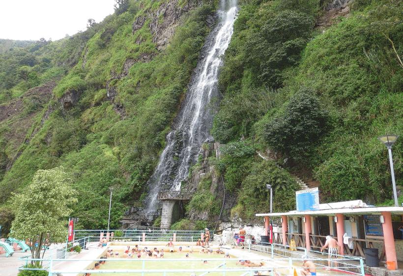
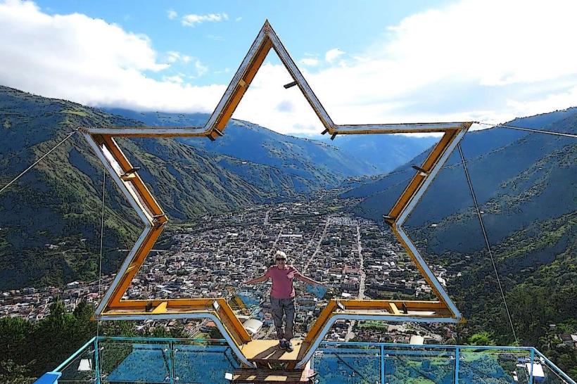
Hiking trails ascend the lower slopes, offering views of the surrounding landscape. Observation points, such as the Mirador de la Cruz, provide vantage points for observing volcanic activity and the crater. Guided treks to higher altitudes are available for experienced mountaineers. Thermal hot springs in Baños are heated by the volcano's geothermal activity.
Infrastructure & Amenities
Basic infrastructure exists at designated viewpoints, including some covered seating areas. Restrooms are available at the main visitor center near the base. Cell phone signal (4G) is generally available in Baños and on lower accessible trails. Food vendors are present in Baños and at some roadside stops along the E30.
Best Time to Visit
The best time for clear views of the summit and potential volcanic activity is during the dry seasons, from June to August and December to February. Mornings typically offer better visibility before cloud cover develops. Volcanic activity can occur at any time, regardless of season.
Facts & Legends
Local indigenous legends refer to Tungurahua as a powerful deity. A specific historical oddity is the volcano's name, derived from the Kichwa words "tungur" (throat) and "rahua" (fire), meaning "throat of fire."
Nearby Landmarks
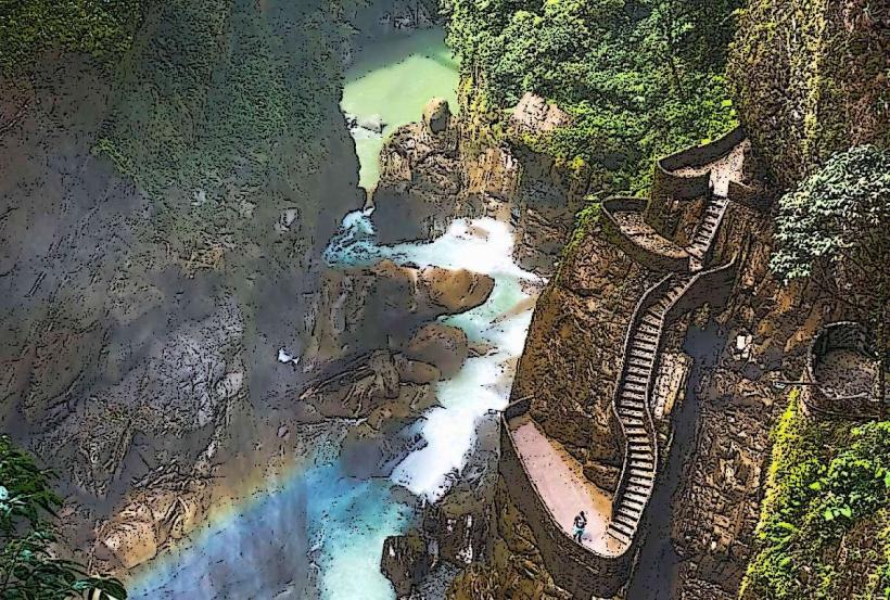
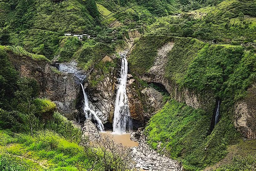
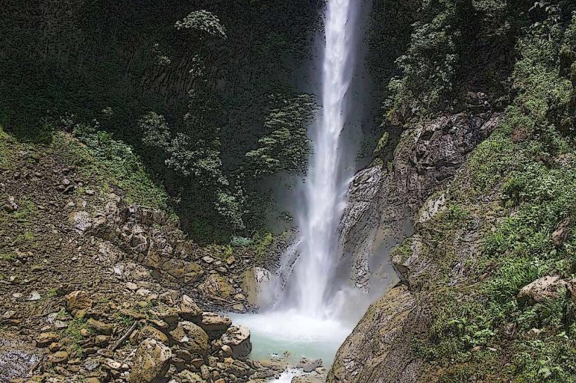
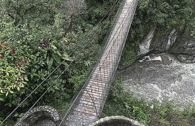
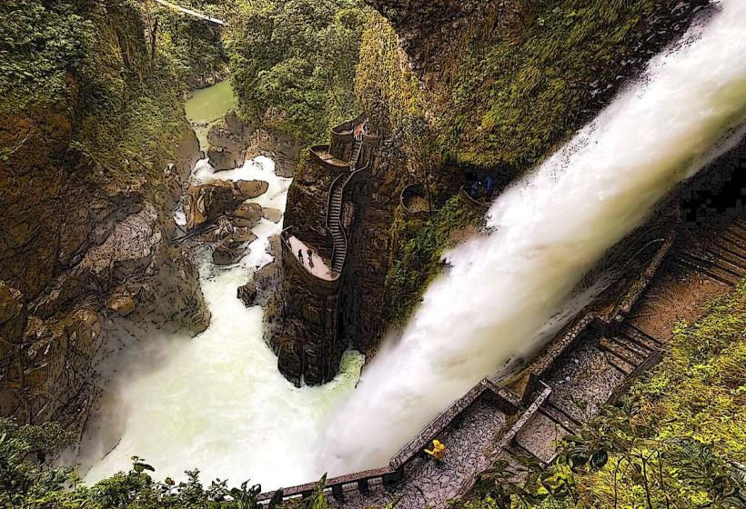
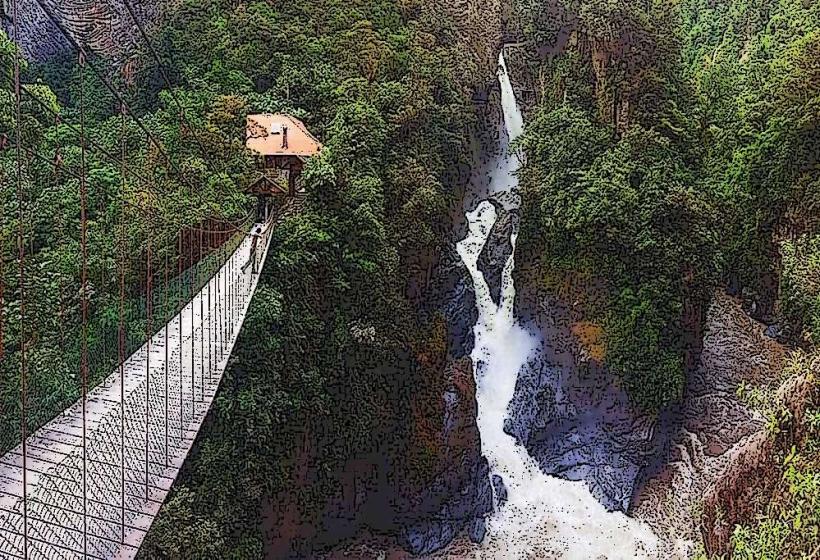
- Pailón del Diablo Waterfall (1.5km West)
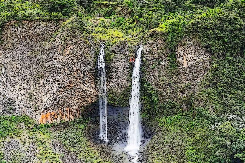
- Cascada de la Virgen (2.0km West)
- Termas de la Virgen (2.5km West)
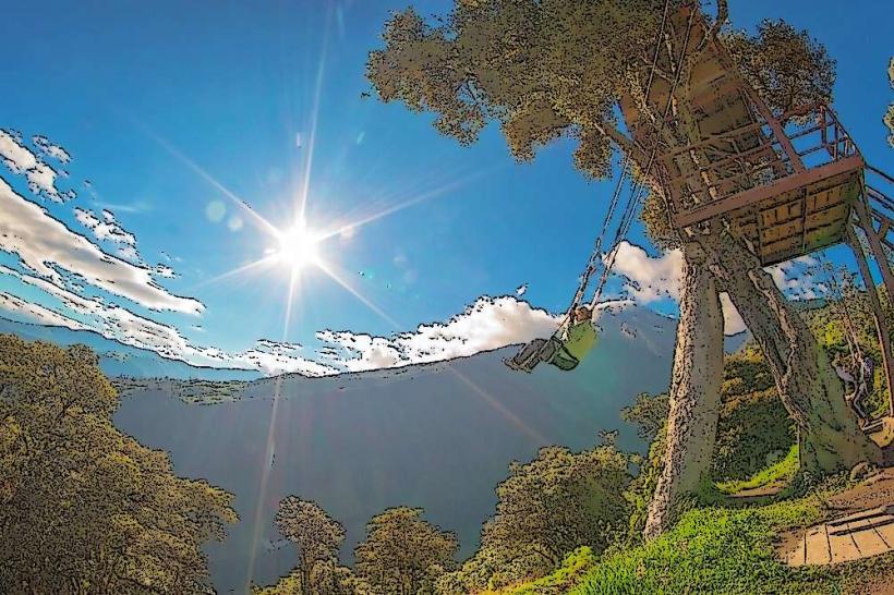
- Casa del Arbol (Swing at the End of the World) (6.0km Southwest)
- Llanganates National Park Entrance (8.0km Northeast)