Landmark: Wadi Al Jizzi
City: Sohar
Country: Oman
Continent: Asia
Wadi Al Jizzi, Sohar, Oman, Asia
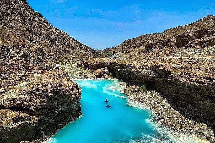
Wadi Al Jizzi is a major mountain valley and transport corridor in the Al Batinah North Governorate, connecting the coastal city of Sohar to the inland Al Buraimi Governorate and the United Arab Emirates border. It follows the path of the Highway 7, cutting through the rugged Hajar Mountain range.
Visual Characteristics
The wadi is defined by a wide, gravel-filled floor flanked by steep, dark-toned ophiolite mountains and jagged limestone ridges. The landscape features deep rocky gorges, narrow winding channels, and scattered acacia trees. During dry periods, the terrain is hyper-arid with grey and reddish rock formations, while seasonal rains transform the bed into a fast-flowing silty river.
Location & Access Logistics
Access is via the Sohar-Buraimi Road (Highway 7), which originates in Sohar and heads west toward the border. The wadi runs parallel to this major dual carriageway for approximately 50km, making it accessible to all vehicle types from multiple paved pull-offs. There is no dedicated public transport stop within the wadi, although intercity buses between Sohar and Al Buraimi traverse the entire length of the corridor.
Historical & Ecological Origin
Historically, Wadi Al Jizzi served as one of the most vital ancient trade routes in the Arabian Peninsula, linking the copper mines of the interior to the maritime port of Sohar. Geologically, the wadi provides a clear cross-section of the Semail Ophiolite, an uplifted segment of the Earth's oceanic crust. The ecological system is adapted to flash-flood cycles, supporting resilient desert flora and fauna such as the Arabian gazelle in the higher reaches.
Key Highlights & Activities
The wadi is a primary destination for "wadi bashing" and off-road exploration in the smaller tributary channels. Geologists and students frequently visit the site to study the exposed rock strata. Several points along the wadi feature ancient stone watchtowers and petroglyphs (rock carvings) that are visible from the mountain foothills. Picnicking is common in the shaded areas near the larger boulders during the cooler months.
Infrastructure & Amenities
Infrastructure is primarily logistical, consisting of the well-maintained Highway 7 and several ADNOC or Omanoil service stations located at either end of the wadi. There are no public restrooms or developed parks within the wadi bed itself. Cellular signal (5G) is consistently strong along the main highway but can drop significantly when entering the deeper side canyons.
Best Time to Visit
The winter months from November to March are the most suitable for exploration, with temperatures ranging from 15°C to 28°C. For photography, the early morning or late afternoon is essential to capture the dramatic shadows cast by the steep mountain walls. Travelers must strictly avoid the wadi bed during any forecast of rain, as the area is highly prone to dangerous and rapid flash flooding.
Facts & Legends
The wadi was a strategic site during various historical conflicts due to its narrow passes, which were easily defended by local tribes. A verified historical oddity is the "Copper Slag" heaps found in certain sections, which are remnants of smelting activities dating back to the Bronze Age Magan civilization.
Nearby Landmarks
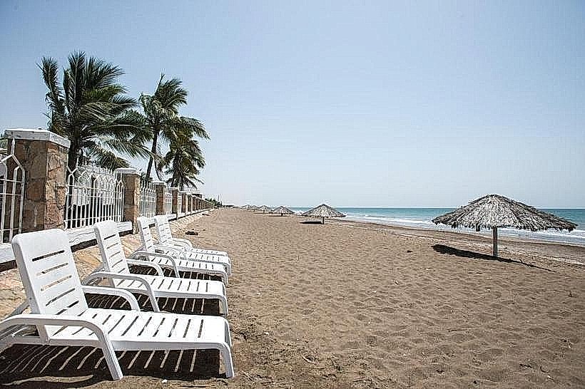
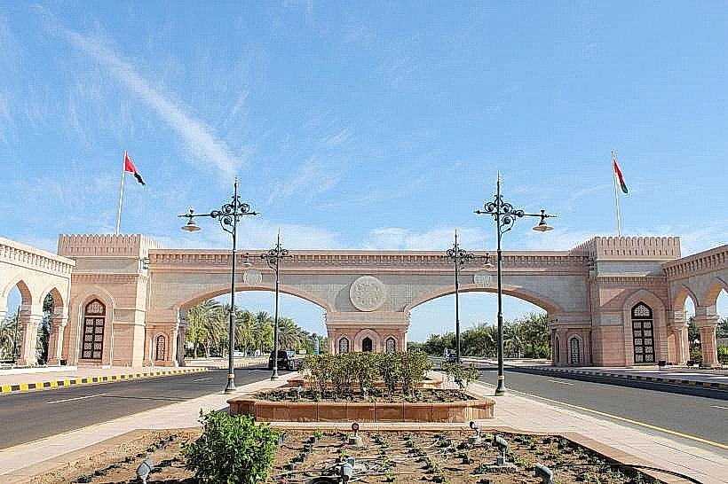
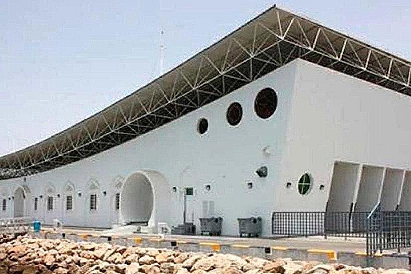
Sohar Gate (10km East)
Sohar Industrial Port (35km Northeast)
Al Buraimi Border Crossing (70km West)
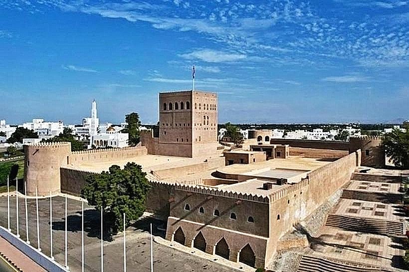
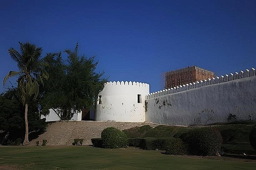
Sohar Fort (25km East)