Information
Landmark: Wallace State ParkCity: Springfield MO
Country: USA Missouri
Continent: North America
Wallace State Park, Springfield MO, USA Missouri, North America
Wallace State Park is a public recreation area located in Springfield, Missouri, USA.
This park encompasses 100 acres of mixed woodland and open fields, featuring a 15-acre lake.
Visual Characteristics
The park's terrain consists of rolling hills covered in deciduous trees, primarily oak and hickory. The lake, known as Wallace Lake, has a water color that varies from murky brown to green depending on recent rainfall and algae bloom. Shorelines are a mix of mowed grass and natural vegetation. A small dam structures the eastern end of the lake.
Location & Access Logistics
Wallace State Park is situated approximately 10 kilometers (6.2 miles) southwest of downtown Springfield, Missouri. Access is via State Highway 13, turning south onto County Road 120. The park entrance is clearly marked. A paved parking lot with capacity for approximately 50 vehicles is available near the main picnic area and boat launch. No public transportation routes directly serve the park.
Historical & Ecological Origin
Wallace State Park was established in 1965. The land was acquired by the Missouri Department of Conservation for the purpose of public recreation and wildlife management. The lake was created by the construction of a small earthen dam, impounding a tributary of the James River. The area is classified as Ozark Highland forest ecosystem.
Key Highlights & Activities
Activities include fishing for bass, crappie, and bluegill in Wallace Lake. A designated boat launch allows for non-motorized watercraft. Hiking is permitted on two marked trails: the 1.5km Lakeside Loop and the 2km Woodland Ridge Trail. Picnicking is available at several designated sites equipped with tables and grills.
Infrastructure & Amenities
Restrooms are located near the main parking lot and the picnic shelter. Several picnic tables and grills are distributed throughout the park. Shade is provided by mature trees in picnic areas. Cell phone signal (4G) is generally available within the park boundaries, though it may be intermittent in denser wooded areas. No food vendors operate within the park; visitors should bring their own provisions.
Best Time to Visit
For photography, early morning and late afternoon offer optimal lighting conditions due to lower sun angles. The months of April through October provide the most favorable weather for outdoor activities. Fishing is often productive during spring and fall. The lake is accessible year-round, with no specific tide requirements.
Facts & Legends
A local anecdote suggests that the lake was once rumored to be inhabited by a large, unseen catfish, though no verifiable evidence supports this claim. The park's primary function remains conservation and providing accessible outdoor recreation for the Springfield community.
Nearby Landmarks
- 3.5km Northeast: Springfield Botanical Gardens
- 4.0km Northeast: Mizumoto Japanese Stroll Garden
- 4.5km Northeast: Nathanael Greene Park
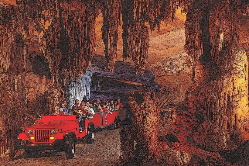
- 6.0km Northeast: Fantastic Caverns