Landmark: Wied Għollieqa Nature Reserve
City: Birkirkara
Country: Malta
Continent: Europe
Wied Għollieqa Nature Reserve, Birkirkara, Malta, Europe
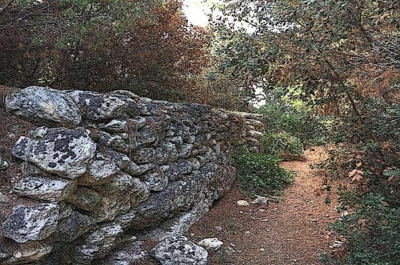
Wied Għollieqa Nature Reserve is a protected valley system and ecological site situated on the eastern periphery of Birkirkara, Malta. It serves as a green lung within an urbanized area, preserving indigenous flora and fauna.
Visual Characteristics
The reserve primarily consists of a deep limestone valley characterized by terraced slopes and a central watercourse, often dry. Dominant vegetation includes Mediterranean garrigue and maquis, featuring carob trees, olive trees, and various shrubs like lentisk and myrtle. The valley floor is composed of alluvial soil, supporting denser plant growth. Rock formations are typical Maltese globigerina limestone, exhibiting erosion patterns. The overall color palette is earthy green and brown, with seasonal bursts of wildflowers in spring.
Location & Access Logistics
Wied Għollieqa is located approximately 2.5 kilometers east of Birkirkara city center, bordering the localities of San Ġwann and Msida. Access is primarily via Triq Wied Għollieqa, which runs along the northern edge of the reserve. Limited street parking is available on adjacent residential roads. Public transport options include bus routes 120 and 202, with stops along Triq Wied Għollieqa, providing direct access from areas like Mater Dei Hospital and University of Malta.
Historical & Ecological Origin
Ecologically, Wied Għollieqa is a natural valley system formed by water erosion over millennia through Malta's soft globigerina limestone. It is classified as a Natura 2000 site, designated for the protection of specific habitats and species under the EU Habitats Directive. The reserve was officially established in 1992, managed by Nature Trust Malta, to conserve its biodiversity and provide an educational resource. Its original purpose was to serve as a natural water catchment and agricultural land, with terracing dating back centuries.
Key Highlights & Activities
Observation of indigenous flora and fauna is a primary activity, including various bird species, insects, and reptiles. Guided nature walks are periodically organized by the managing entity. Educational visits for schools are facilitated to promote environmental awareness. Photography of the natural landscape and biodiversity is permitted. The reserve features marked trails suitable for light hiking.
Infrastructure & Amenities
Basic infrastructure is present. Restrooms are available near the main entrance. Limited natural shade is provided by trees along the trails. Cell phone signal (4G/5G) is generally reliable throughout the reserve due to its proximity to urban areas. There are no permanent food vendors within the reserve; visitors should bring their own provisions. Water fountains are not consistently available.
Best Time to Visit
The optimal period for visiting is during the spring months (March to May) for wildflower blooms and mild temperatures, or autumn (September to November) for bird migration. Early morning or late afternoon are recommended for photography, offering softer light and increased wildlife activity. The reserve is generally accessible year-round, but summer afternoons can be excessively hot.
Facts & Legends
Wied Għollieqa is one of the few remaining natural valleys in Malta that still supports a significant population of the endangered Maltese Freshwater Crab (Potamon fluviatile lanfrancoi), a species endemic to the Maltese Islands. Its presence indicates a relatively healthy, albeit intermittent, freshwater ecosystem within the valley.
Nearby Landmarks
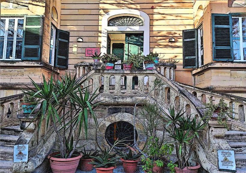
- University of Malta: 0.8km West
- Mater Dei Hospital: 1.2km Northwest
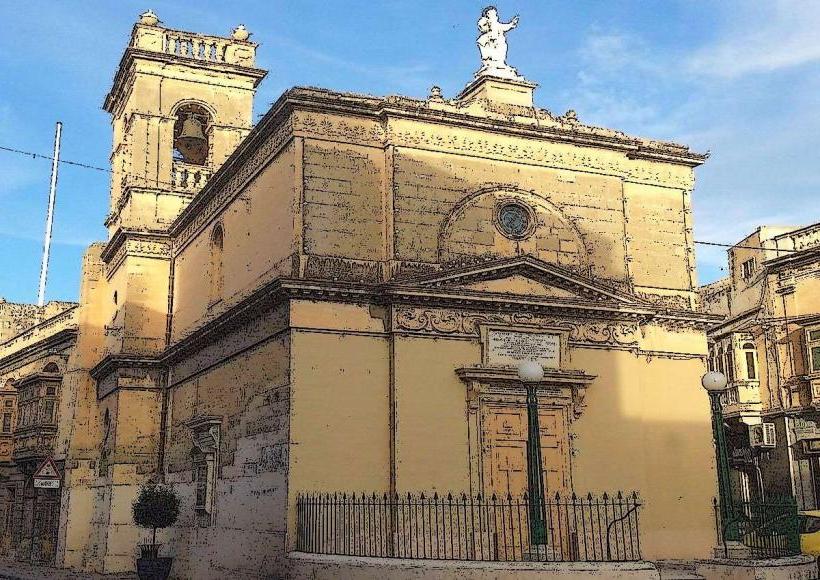
- San Ġwann Parish Church: 1.5km North
- Ta' Qali National Park: 4.5km Southwest
- Mosta Dome (Rotunda of Mosta): 4.8km West-Northwest