Landmark: Zion National Park
City: St George
Country: USA Utah
Continent: North America
Zion National Park, St George, USA Utah, North America
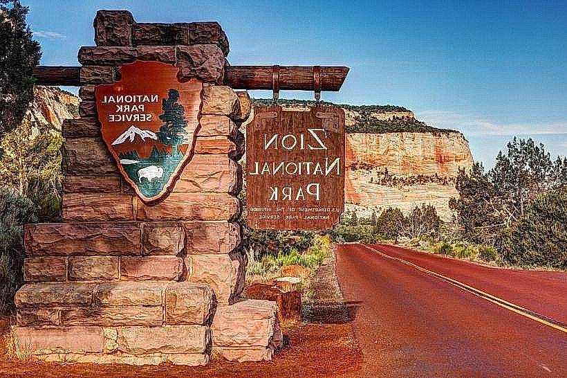
Zion National Park is a protected area in southwestern Utah, United States, known for its sandstone cliffs and narrow canyons. It is located approximately 30 miles north of St. George, Utah.
Visual Characteristics
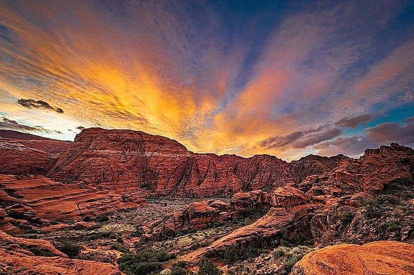
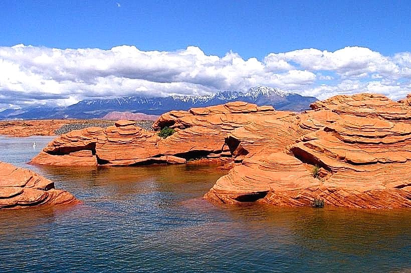
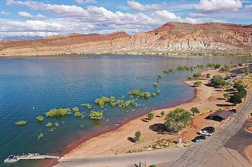
The park features massive sandstone cliffs of Navajo Sandstone, colored in shades of cream, pink, and red. The Virgin River has carved the main canyon, creating sheer walls that reach up to 2,000 feet. Vegetation varies from desert scrub on the mesa tops to riparian forests along the river, including cottonwood trees and various shrubs.
Location & Access Logistics
Access to Zion National Park is primarily via State Route 9 (Zion-Mount Carmel Highway). The main entrance is located 30 miles north of St. George. Parking is available at the Zion Canyon Visitor Center and at various pull-offs along the scenic drive. During peak season (typically March through November), private vehicles are restricted from the Zion Canyon Scenic Drive, and a free shuttle bus system operates. The nearest major airport is St. George Regional Airport (SGU), approximately 45 miles away.
Historical & Ecological Origin
The geological formations in Zion National Park are primarily the result of millions of years of erosion by the Virgin River and wind. The Navajo Sandstone was deposited as ancient sand dunes during the Jurassic period. The park was established as Mukuntuweap National Monument in 1909 and later expanded and renamed Zion National Park in 1919. Indigenous peoples, including the Ancestral Puebloans and Southern Paiute, inhabited the area for thousands of years prior to European American settlement.
Key Highlights & Activities
Hiking trails range from paved, accessible paths like the Pa'rus Trail to strenuous climbs such as Angels Landing (permit required) and The Narrows (requires wading through the Virgin River). Observation points include Canyon Overlook Trail and viewpoints along the Zion-Mount Carmel Highway. Photography opportunities are prevalent throughout the park, particularly during sunrise and sunset when the canyon walls are illuminated.
Infrastructure & Amenities
Restrooms are available at the Zion Canyon Visitor Center, various trailheads, and the Zion Lodge. Shaded areas are limited along most trails, with more substantial shade found in the main canyon near the Virgin River and at the Zion Lodge. Cell phone signal (4G/5G) is intermittent within the park, with better reception near the visitor center and in Springdale. Food services are available at the Zion Lodge and in the gateway town of Springdale.
Best Time to Visit
The best months for visiting are April, May, September, and October, offering moderate temperatures. Summer months (June-August) are hot, with daytime temperatures often exceeding 100°F (38°C). Spring and fall offer optimal lighting for photography, with softer light in the early morning and late afternoon. Hiking The Narrows is best done during warmer months, and water levels can be a factor year-round.
Facts & Legends
The name "Zion" is derived from Hebrew, meaning "a place of peace and refuge." Early Mormon settlers are credited with giving the park its current name. A unique geological feature is Checkerboard Mesa, a large sandstone dome marked with cross-hatching patterns formed by erosion.
Nearby Landmarks
- Bryce Canyon National Park (85km Northeast)
- Cedar Breaks National Monument (70km West)
- Snow Canyon State Park (20km Southwest)
- Kolob Canyons (part of Zion National Park, 40km North)
- Valley of Fire State Park, Nevada (120km Southwest)