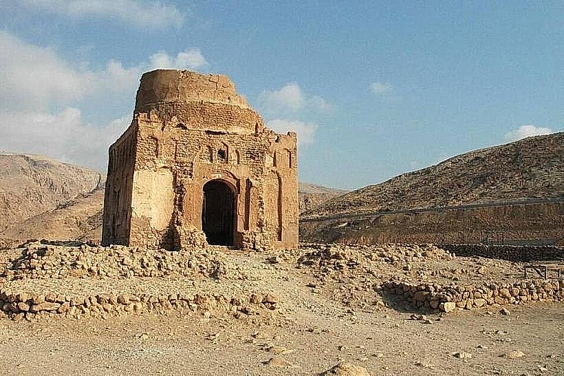
Landmark: Bibi Maryam's Tomb Qalhat
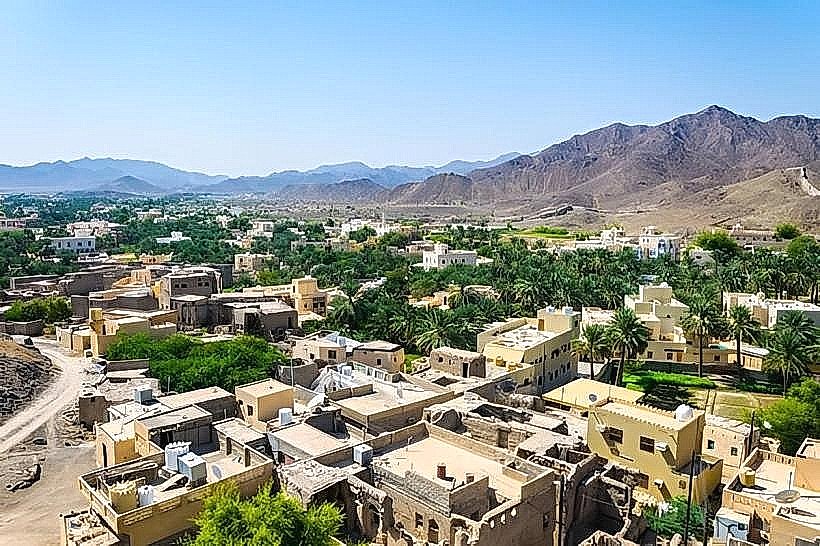
City: Sur
Country: Oman
Continent: Asia
Bibi Maryam's Tomb Qalhat, Sur, Oman, Asia
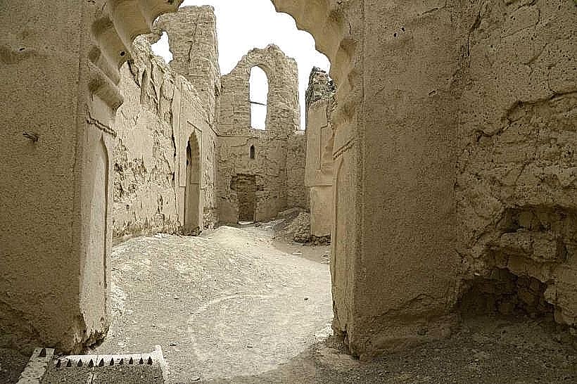
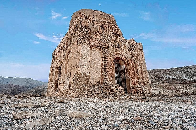
Bibi Maryam's Tomb is the most prominent surviving structure of the ancient city of Qalhat, a UNESCO World Heritage site located on the coast of the Ash Sharqiyah South Governorate. It serves as a solitary architectural monument to the city's former status as a major global trading hub between the 13th and 15th centuries.
Visual Characteristics
The tomb is a square-plan mausoleum with a partially collapsed dome, constructed from coral stone and lime mortar. Its most significant features are the remnants of intricate Persian-style turquoise and cobalt blue glazed tilework and delicate stucco carvings that once adorned its interior and exterior. The structure sits on a barren, elevated limestone plateau overlooking the Arabian Sea, surrounded by the extensive rubble fields of the ancient city.
Location & Access Logistics
The site is located approximately 180km from Muscat and 25km north of Sur.
Transit: Accessible via the Muscat–Sur highway (Route 17).
Access Status: As a UNESCO site under active conservation, physical access to the interior of the tomb is often restricted by perimeter fencing to protect the fragile stucco and masonry. Visitors can view the structure from the designated perimeter.
Vehicle Requirement: Fully accessible by 2WD via a short gravel turn-off from the main highway.
Historical & Ecological Origin
Qalhat was the secondary capital of the Kingdom of Hormuz. The tomb was reportedly built in the 14th century by Bahauddin Aiaz, the King of Hormuz, for his wife, Bibi Maryam. Alternatively, some historical accounts suggest she built it for herself or that it served as a mosque. The city was visited and described by famous explorers Marco Polo and Ibn Battuta, the latter of whom noted the mosque's "excellent" tilework. The city was largely destroyed by the Portuguese in 1508 and subsequently abandoned.
Key Highlights & Activities
Archaeological Observation: Viewing the foundation remains of the surrounding city, which once included a massive Friday Mosque and a dense residential grid.
Architectural Study: Examining the transition from square base to octagonal drum (the "squinch" technique) used to support the dome, a hallmark of medieval Islamic architecture.
Photography: The tomb's isolated position against the blue horizon of the Gulf of Oman provides a significant visual for the scale of historical maritime trade.
Infrastructure & Amenities
The site is a protected archaeological reserve with minimal modern infrastructure.
Facilities: No public restrooms, cafes, or shops are on-site. The nearest services are in the village of Tiwi (25km north) or the city of Sur (25km south).
Connectivity: 4G/5G cellular signal is stable due to proximity to the coastal highway.
Signage: UNESCO informational plaques provide historical context at the site entrance.
Best Time to Visit
Early morning or late afternoon provides the best light to see the textures of the coral stone and the faint remnants of the blue tilework. The site is entirely exposed with no shade, making winter months (October to March) the only practical time for extended observation.
Facts & Technical Details
A technical architectural detail is the presence of a crypt or lower chamber beneath the main floor, which is a characteristic of Ilkhanid-era mausoleums. The use of coral stone in its construction is an ecological adaptation, as it was a lightweight and locally available material that provided excellent thermal properties.
Nearby Landmarks
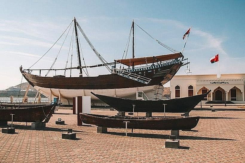
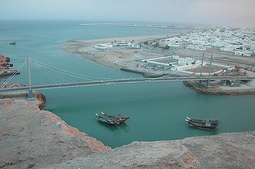
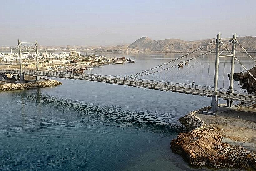
Sur City Center – 25km South
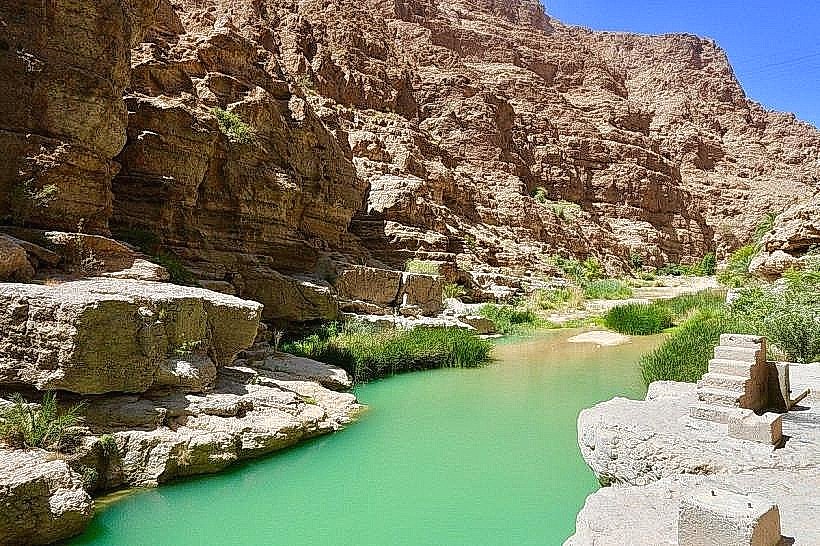
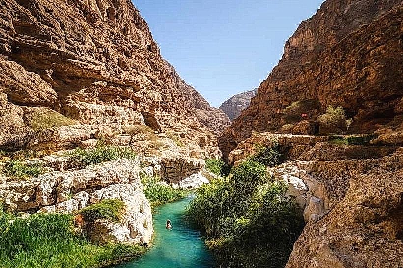
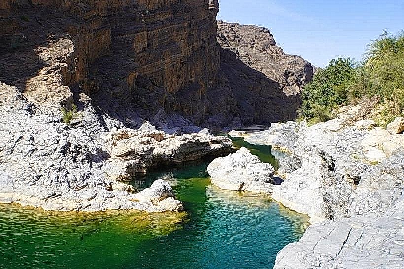
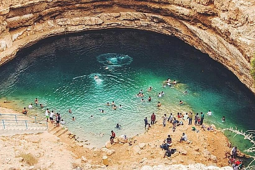
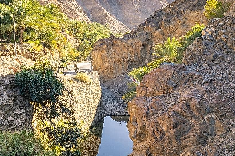
Wadi Shab – 25km North
Wadi Tiwi – 27km North
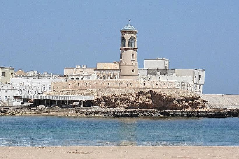
Al Ayjah Watchtower – 28km South
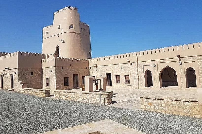
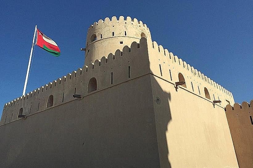
Sunaysilah Castle – 23km South