Landmark: Wadi Al Arbaeen
City: Sur
Country: Oman
Continent: Asia
Wadi Al Arbaeen, Sur, Oman, Asia
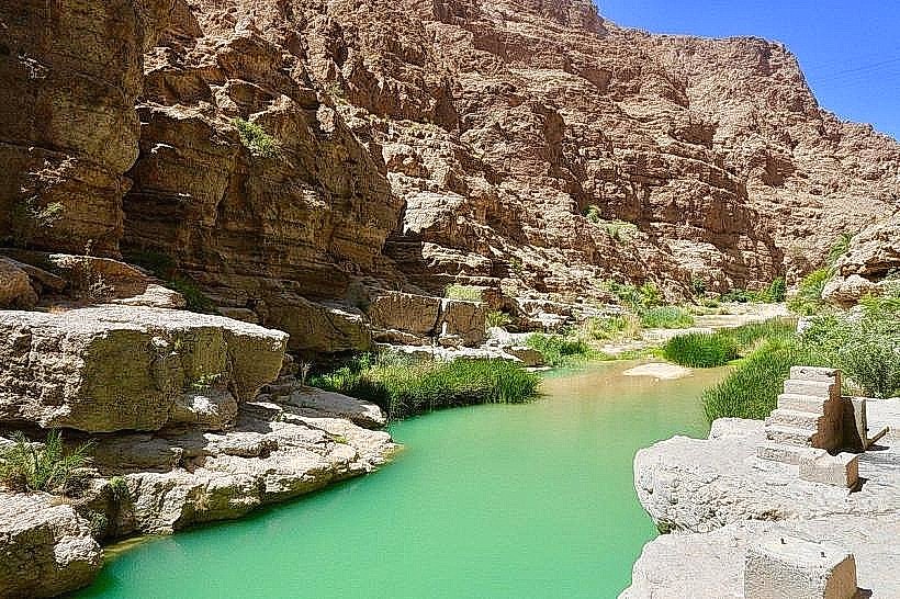
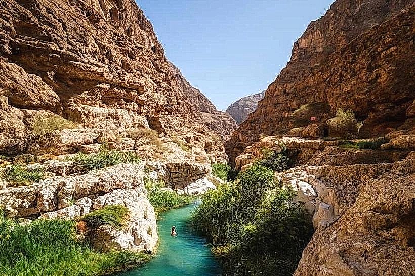
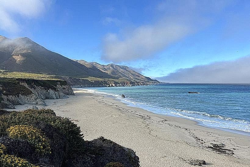
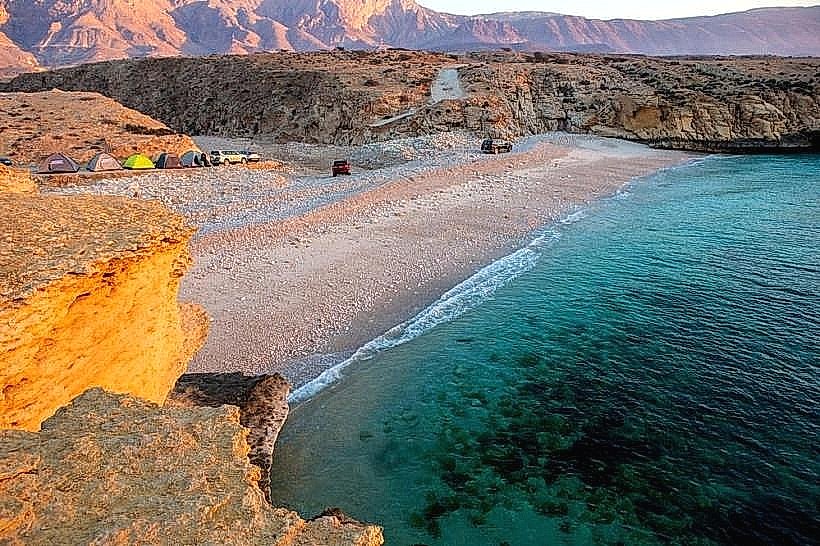
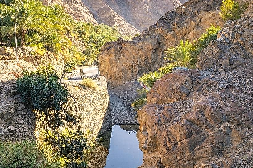
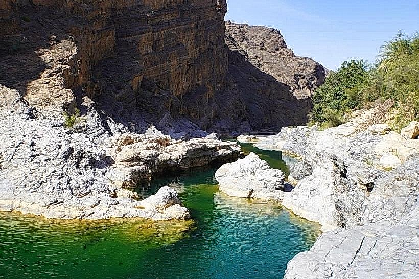
Wadi Al Arbaeen is one of Oman's most spectacular and rugged river canyons, located in the Al Sharqiyah North Governorate. It is renowned for its deep turquoise pools, constant water flow, and massive limestone boulders that create a challenging but rewarding environment for off-roaders and hikers.
Visual Characteristics
The wadi is defined by its immense scale, with vertical orange and tan limestone walls contrasting against the vibrant green of the deep freshwater pools. The terrain is a complex arrangement of smooth, water-worn rocks and dense clusters of date palms and sidr trees. After heavy rains, the wadi transforms into a series of powerful cascades and interconnected lakes.
Location & Access Logistics
The wadi is situated approximately 90km southeast of Muscat, accessible via the Muscat-Sur highway (Route 17).
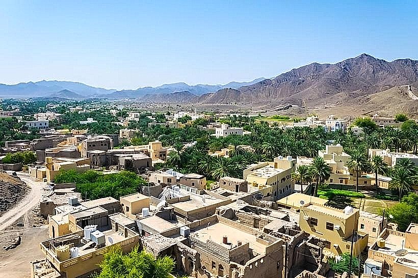
Navigation: From the highway, the turn-off leads through a winding mountain pass and the village of Al Mazara.
Vehicle Requirement: A 4WD vehicle is mandatory to reach the deeper sections of the wadi. The track involves multiple water crossings and driving over unstable gravel and large stones.
Transit: There is no public transportation. Visitors must use private 4WD vehicles or join organized adventure tours.
Historical & Ecological Origin
Wadi Al Arbaeen serves as a major drainage artery for the eastern Hajar Mountains. Historically, the constant water supply has supported small, isolated mountain communities that rely on falaj systems for subsistence farming. The ecology is a diverse riparian habitat, hosting various species of freshwater fish, dragonflies, and birds of prey that nest in the high cliff crevices.
Key Highlights & Activities
Wild Swimming: The wadi contains some of the deepest and cleanest natural swimming pools in the country, often requiring short swims to progress further into the canyon.
Technical Off-Roading: The drive itself is a primary draw for enthusiasts, requiring high ground clearance and low-range gears to navigate the rocky riverbed.
Canyoning and Hiking: Experienced hikers can follow the watercourse for several kilometers into the "Black Gorge," though this requires high fitness levels and water safety gear.
Infrastructure & Amenities
The area remains largely undeveloped to preserve its wilderness character.
Facilities: There are no public restrooms, shops, or managed campsites within the wadi. Visitors must be entirely self-sufficient, carrying all necessary water, food, and recovery gear.
Connectivity: Cellular signal is highly unreliable and typically disappears completely once you enter the narrowest sections of the canyon.
Waste Management: There are no trash collection services; a "carry-in, carry-out" policy is strictly required to maintain the site’s ecology.
Best Time to Visit
The winter months (November to March) provide the most temperate climate for exploration. It is critical to monitor weather reports before entry; because the wadi drains a vast mountain catchment area, it is prone to sudden and violent flash floods that can trap vehicles and hikers within minutes.
Facts & Technical Details
The name "Arbaeen" translates to "Forty," traditionally referring to the forty small springs or tributaries that feed the main channel. A technical geological feature is the presence of "potholes" carved into the bedrock-cylindrical depressions formed by the abrasive action of stones swirled by rapid water currents over thousands of years.
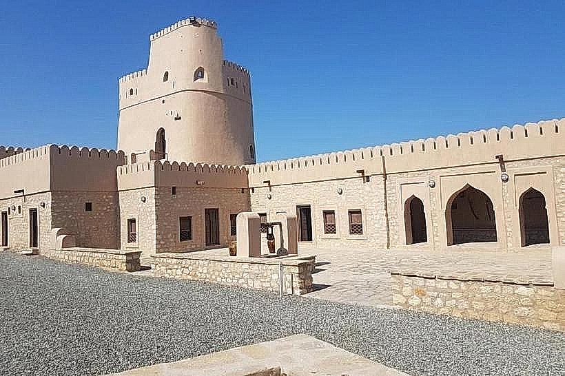
Nearby Landmarks
Wadi Dayqah Dam – 15km West
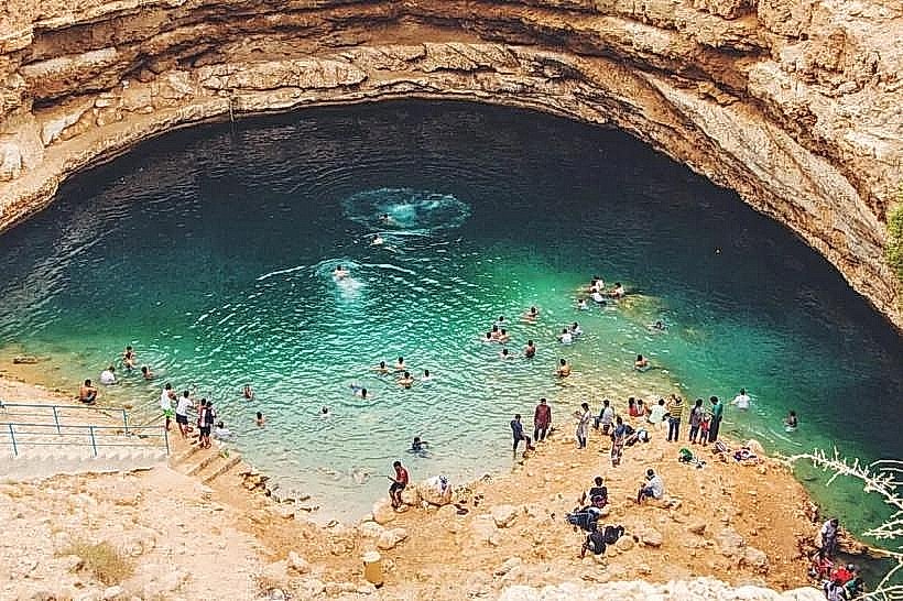
Bimmah Sinkhole – 40km South-East
Al Mazara Village – 5.0km West
Majlis Al Jinn Cave – 35km South (Aerial distance)
Quriyat – 35km North-West