Landmark: Tiwi Village
City: Sur
Country: Oman
Continent: Asia
Tiwi Village, Sur, Oman, Asia
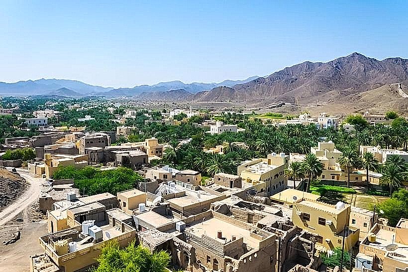
Tiwi Village is a coastal settlement located in the Al Sharqiyah North Governorate of Oman, approximately 140km south of Muscat. It serves as the primary access point for the Wadi Tiwi drainage system and sits between the Gulf of Oman and the Hajar Mountain range.
Visual Characteristics
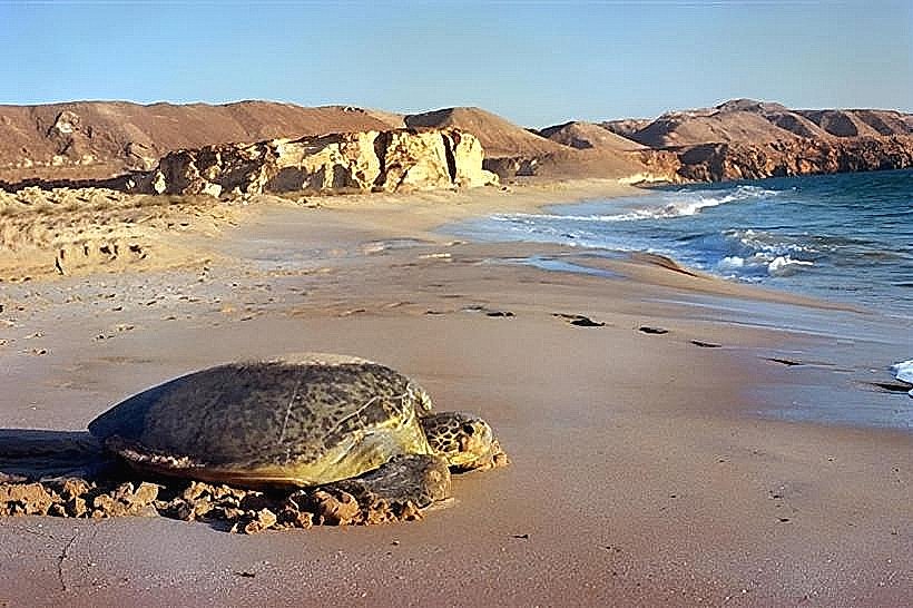
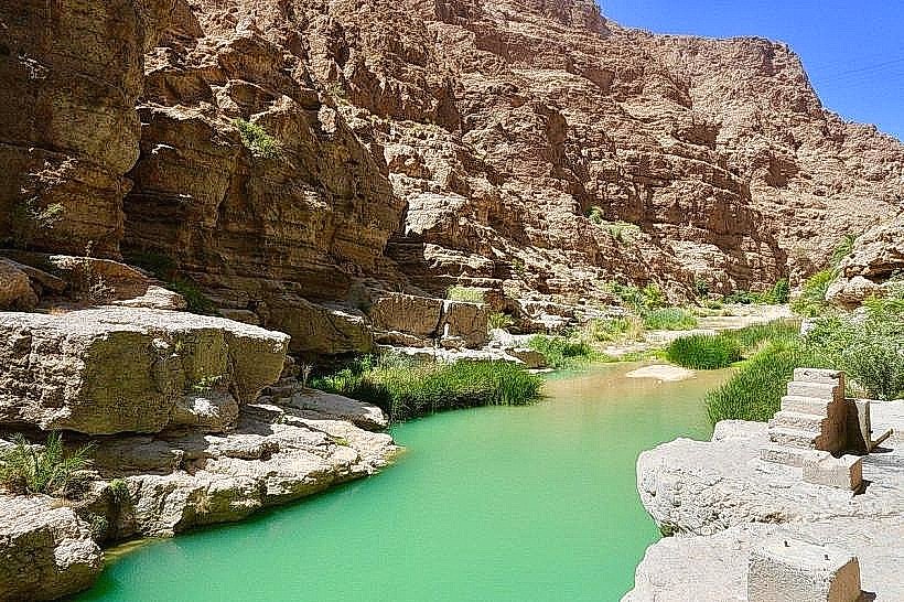
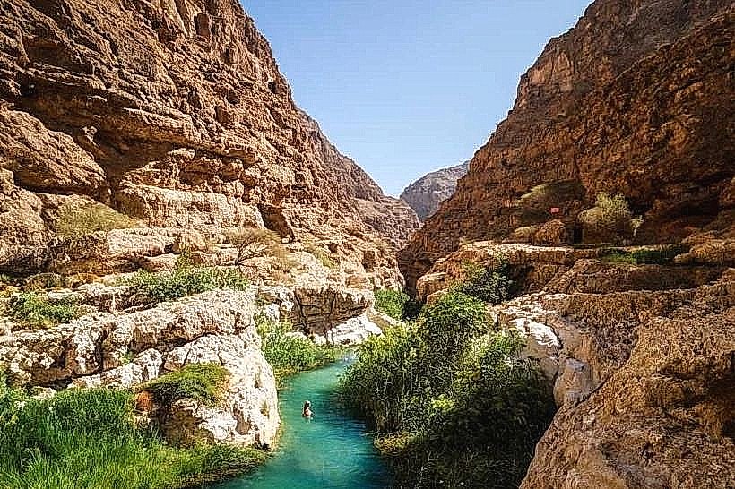
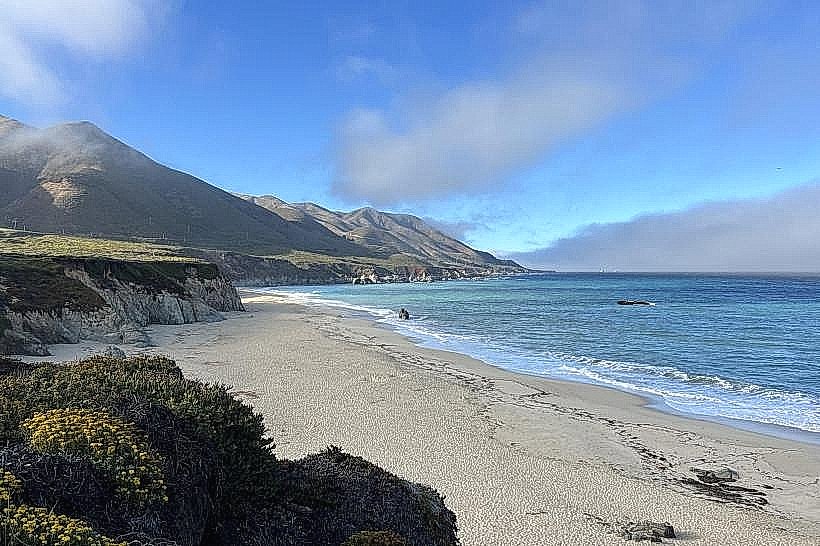
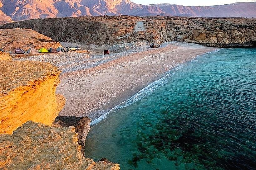
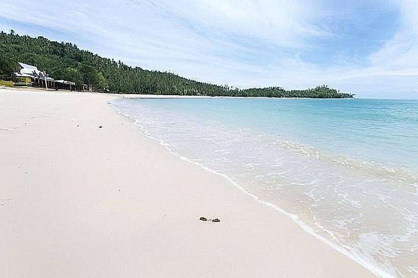
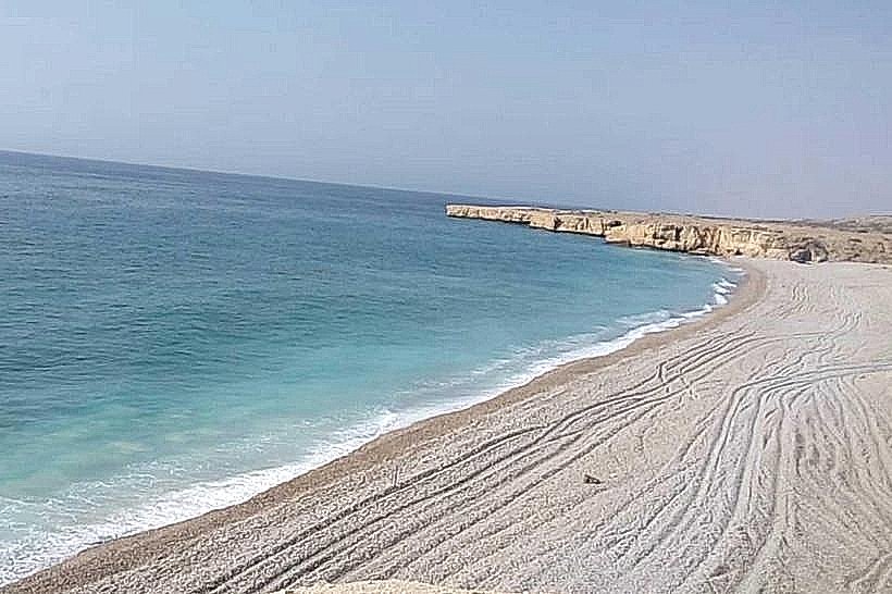
The village features traditional low-rise stone and concrete dwellings painted in white and earth tones, contrasted by dense green date palm plantations. The coastal edge consists of a pebble-strewn beach with turquoise waters, while the inland topography rises into steep, grey limestone cliffs and tiered agricultural terraces.
Location & Access Logistics
Access is via Route 17 (Muscat-Sur Highway), with a marked exit for Tiwi. The village center is reachable by standard sedan, but the road leading into the adjacent wadi is narrow, steep, and requires a 4WD vehicle. Public transport is limited to Mwasalat intercity buses stopping on the main highway, necessitating a 1km walk to the village core.
Historical & Ecological Origin
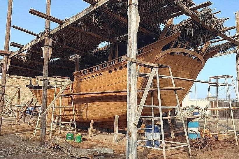
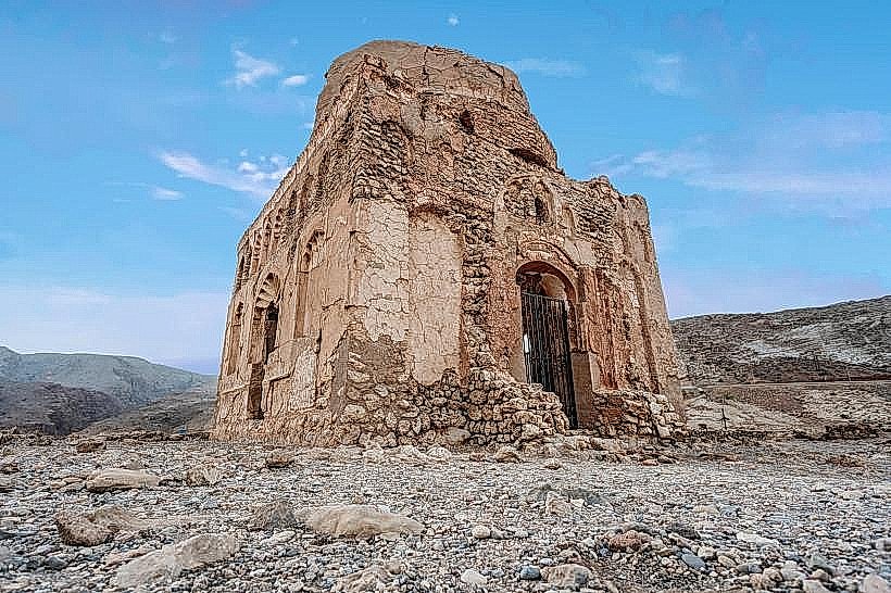
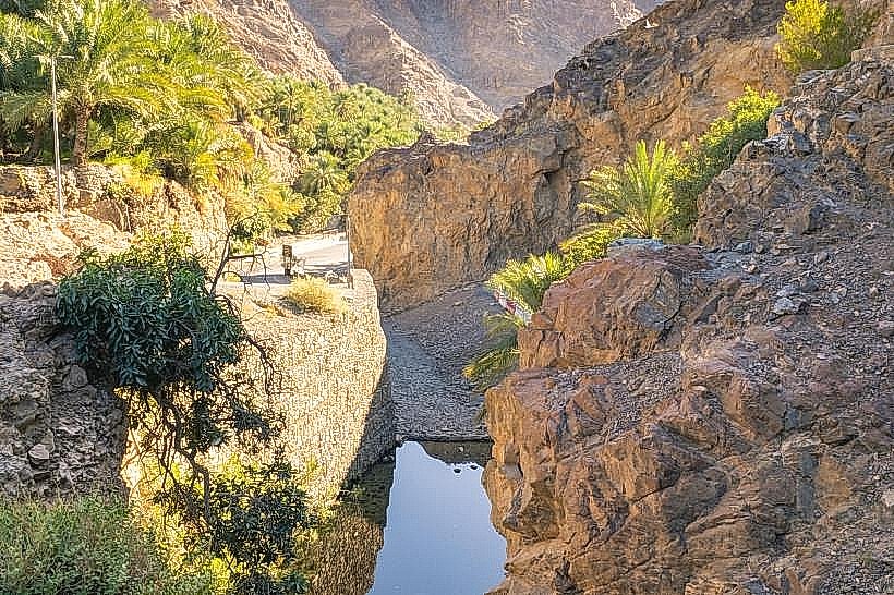
Tiwi has historically functioned as a maritime and agricultural hub, utilizing the "Aflaj" irrigation system to support ancient mango, banana, and date groves. The surrounding geology is characterized by dramatic karst erosion and marine fossil deposits within the sedimentary rock layers of the mountains.
Key Highlights & Activities
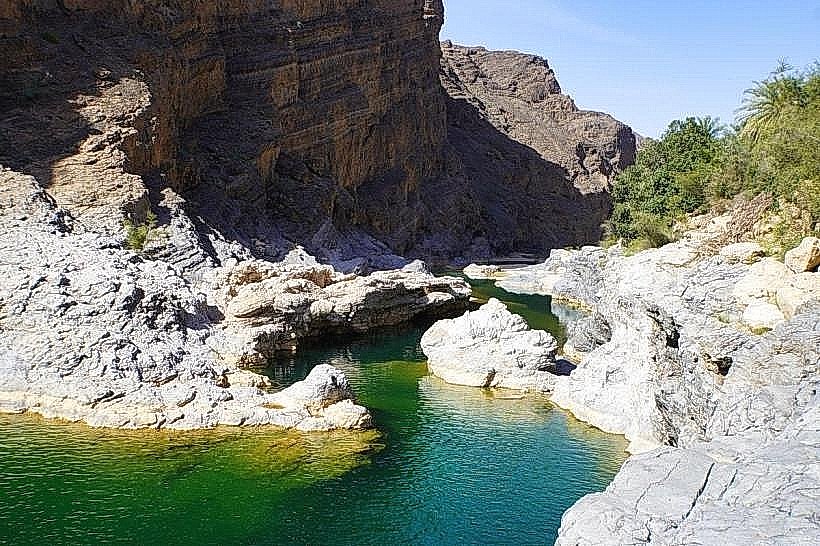
Hiking is the primary activity, with a technical trek connecting Tiwi to Wadi Bani Khalid over the mountain pass. Swimming is possible in the natural rock pools found 2km inland from the village. Small-scale fishing operations continue from the beach, and guided walks through the old falaj networks are available.
Infrastructure & Amenities
The village contains small grocery shops, a few local cafes, and basic guesthouses. Public restrooms are located near the main mosque and within some private tourist facilities. 4G cellular signal is consistent in the village but drops significantly once entering the deep mountain gorges.
Best Time to Visit
The period from October to April offers the most manageable temperatures for hiking, typically between 20°C and 30°C. Early morning light (07:00–09:00) provides the best visibility for the narrow canyon walls. High tide is preferable for coastal photography to cover the exposed rocky shoreline.
Facts & Legends
Local oral history suggests the village was once a significant port for the Frankincense trade, acting as a secondary sheltered harbor when weather conditions made the nearby Sur port inaccessible. A specific "secret" is the hidden waterfall located at the very end of the drivable wadi road, requiring a 20-minute scramble past the last farm.
Nearby Landmarks
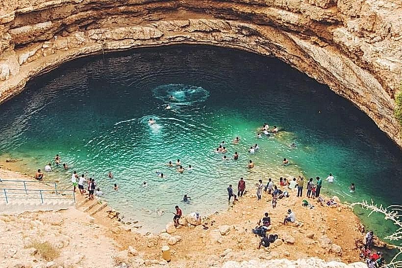
Wadi Shab (2km North)
Bimmah Sinkhole (25km North)
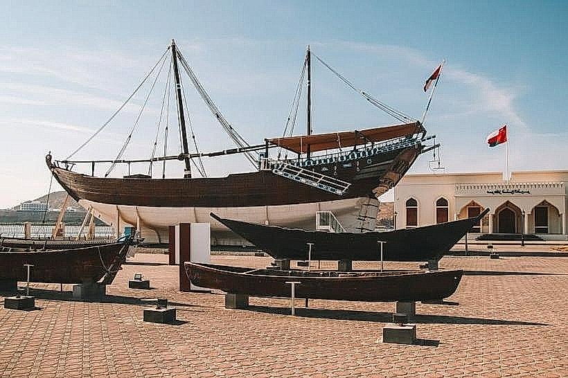
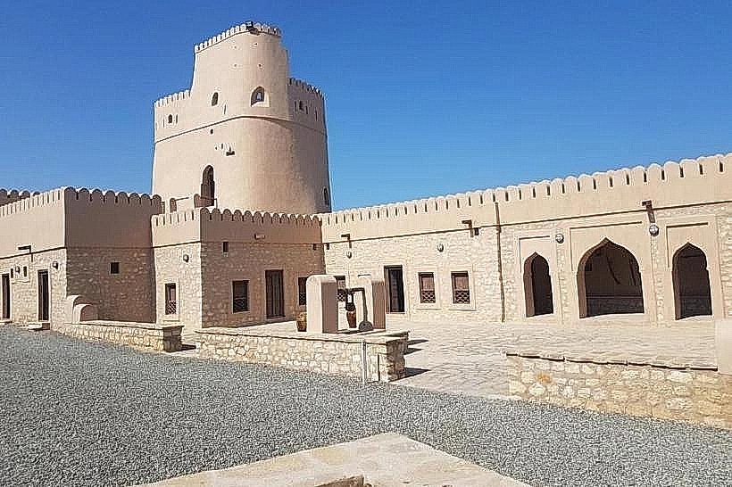
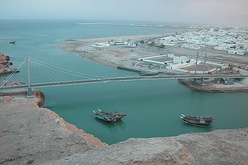
Sur Maritime Museum (45km South)
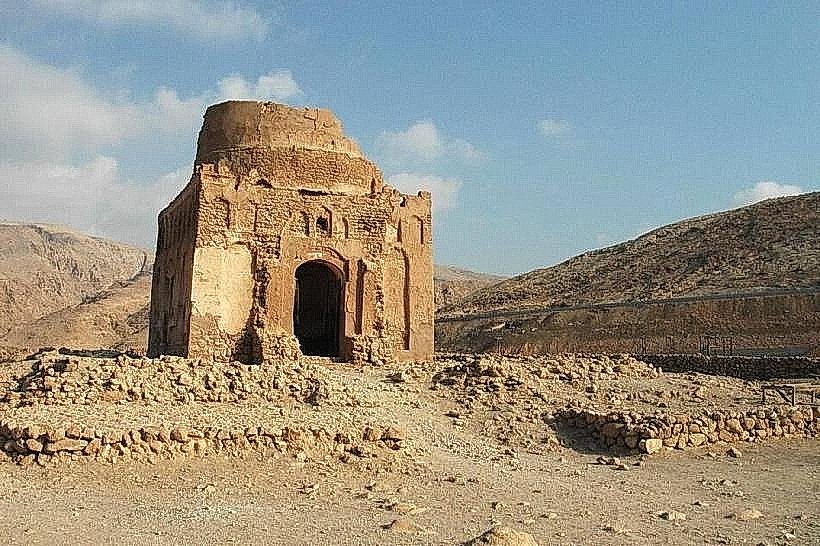
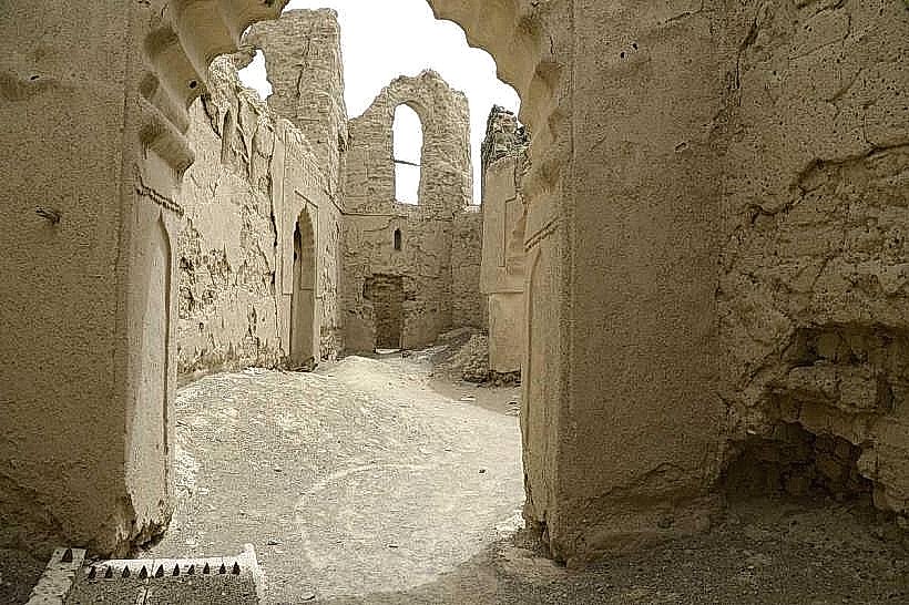
Qalhat Ancient City (20km South)