City: Bugesera
Country: Rwanda
Continent: Africa
Bugesera, Rwanda, Africa
Bugesera serves as a primary logistical and industrial expansion zone for Rwanda, situated in the Eastern Province. The region is defined by its low-lying plateau, numerous lakes, and its role as the site of the new Bugesera International Airport.
Historical Timeline
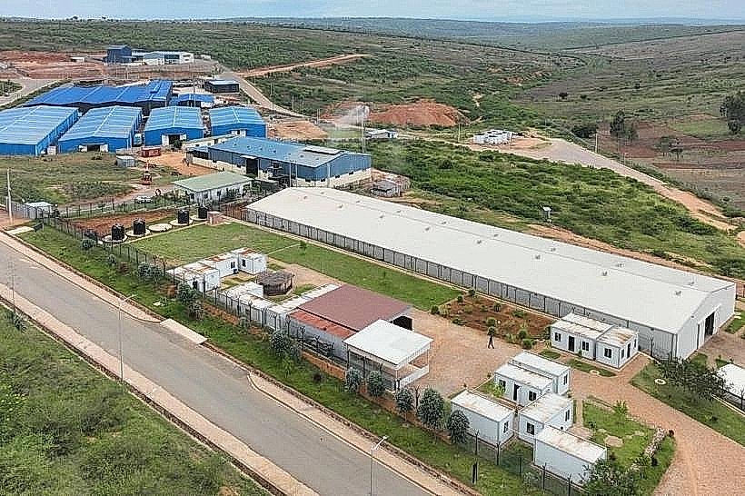
The Kingdom of Bugesera existed as an independent state from the 16th century until roughly 1799, when it was annexed and divided between the kingdoms of Rwanda and Burundi. During the colonial era, the region was sparsely populated due to its arid climate and prevalence of tsetse flies. The most significant political and architectural reconstruction began in the early 2010s with the gazetting of the Bugesera Special Economic Zone and the commencement of the new international airport. The primary event shaping the current urban form is the ongoing transition from a rural agricultural district to a high-capacity aviation and industrial hub.
Demographics & Population
The total population of the Bugesera district is approximately 551,103 (2022 Census). The urban population is primarily concentrated in the capital, Nyamata, which has an urbanization rate of roughly 49%. The demographic is predominantly Rwandan, with a median age of 20.2 years.
Urban Layout & Key Districts
The district is organized around the central hub of Nyamata, which serves as the administrative and commercial core. Ntarama is located to the north, near the border with Kigali, and is a significant site for historical tourism. Gashora, located to the east, is known for its lakeside environment and educational institutions. The layout is increasingly defined by the large-scale footprint of the new airport and the industrial parks situated between Nyamata and the Kigali border.
Top City Landmarks
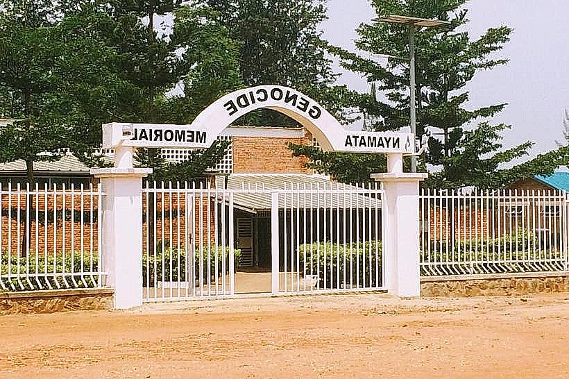
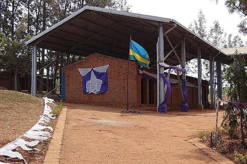
Nyamata Genocide Memorial: A former church where thousands sought refuge; it remains a primary site of national remembrance.
Ntarama Genocide Memorial: A smaller, preserved site emphasizing the local history of the 1994 conflict.
Mbyo Reconciliation Village: A specialized community where genocide survivors and former perpetrators live together.
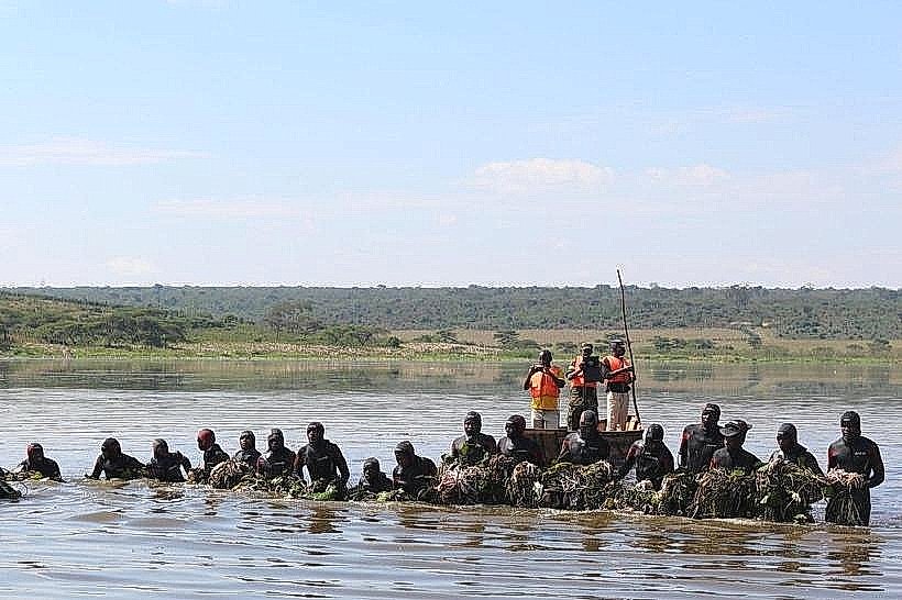
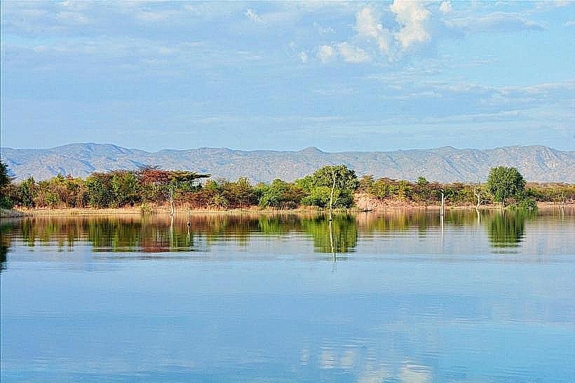
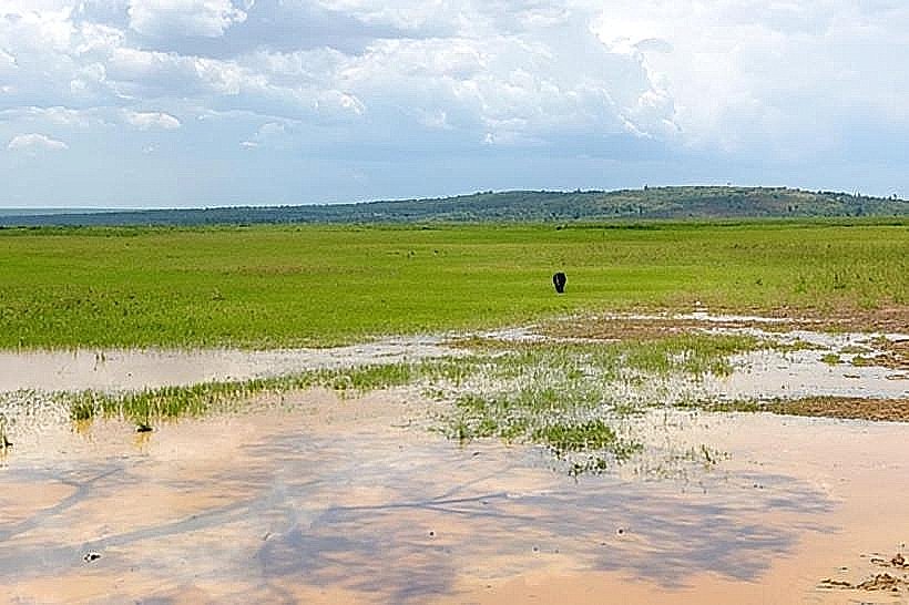
Lake Rweru: A large water body on the border with Burundi, used for local fishing and transport.
New Bugesera International Airport Site: A massive infrastructure project slated to become the nation's primary aviation gateway.
Transportation Network
Movement within Bugesera is primarily facilitated by Moto-taxis, with drivers wearing green or yellow vests. Standard white taxis with orange stripes are available for hire. There is no metro or tram system. Public buses operated by Kigali Bus Services (KBS) and Ritco provide frequent links to Kigali (40 km, approx. 1 hour). Traffic density is currently low but is projected to increase significantly upon the opening of the new airport.
Safety & "Red Zones"
Bugesera is considered very safe for visitors. There are no designated "red zones" or neighborhoods to avoid. Travelers should exercise caution when driving at night on the RN15 highway due to occasional livestock on the road and limited street lighting outside of Nyamata town center.
Digital & Financial Infrastructure
Average internet speed ranges from 15-25 Mbps, with 4G coverage from MTN and Airtel. Card acceptance is growing in Nyamata's larger hotels but remains low in local shops. Bank of Kigali and BPR Bank maintain the primary ATMs in the Nyamata commercial district.
Climate & Air Quality
The climate is tropical and significantly more arid than the rest of Rwanda, with temperatures ranging from 20°C to 30°C. The region is prone to drought, particularly from June to August. Air quality is currently high due to the lack of heavy urban density, though dust levels are elevated during the dry seasons.
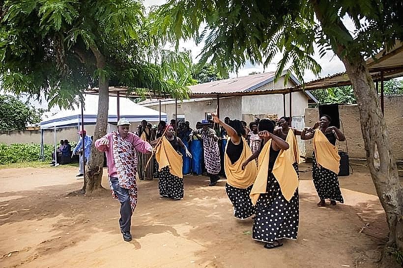
Culture & Social Norms
Tipping is not standard, but 1,000–2,000 RWF is appreciated for service in lodges. Handshakes are the standard greeting. Due to the warmer climate, dress is slightly more casual than in Kigali, though modesty is still expected in administrative and religious buildings. Public smoking is rare and generally restricted to designated areas.
Accommodation Zones
Stay in Nyamata for logistical proximity to memorials, banks, and transport to Kigali.
Stay in Gashora for a quieter, lakeside environment and access to eco-lodges.
Local Cost Index
1 Espresso: 1,500 RWF ($1.15 USD)
1 Standard Lunch: 3,500 RWF ($2.70 USD)
1 Bus Ticket (to Kigali): 1,200 RWF ($0.95 USD)
Nearby Day Trips
Kigali: 40 km (1 hour) for metropolitan amenities and the national capital.
Akagera National Park: 85 km (2 hours) for savannah safaris.
Lake Cyohoha: 15 km (25 mins) for bird watching and local fishing views.
Ruhuha: 25 km (40 mins) for visiting rural markets near the Burundi border.
Facts & Legends
A local historical oddity involves the "Girdle of Bugesera," a traditional belief that the region was a protected sanctuary for the Rwandan monarchs' cattle during times of drought elsewhere in the country. This was due to the unique hydrological network of lakes (Rweru and Cyohoha) that provided water when the central highlands were dry. Urban legends today often center on the "disappearing" village of the old kingdom, which some locals claim can still be seen in the mist over Lake Rweru during the early morning.