Landmark: Gashora Wetlands
City: Bugesera
Country: Rwanda
Continent: Africa
Gashora Wetlands, Bugesera, Rwanda, Africa
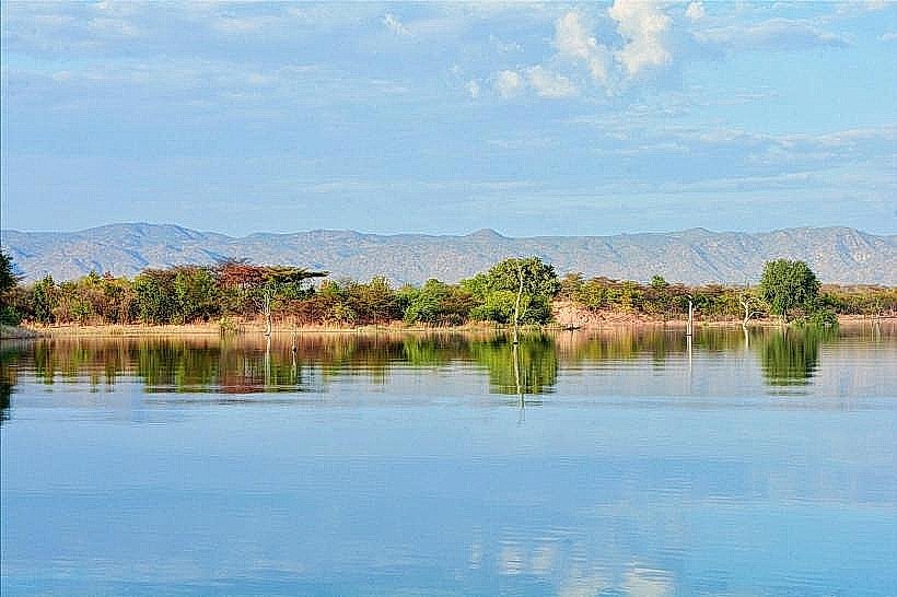
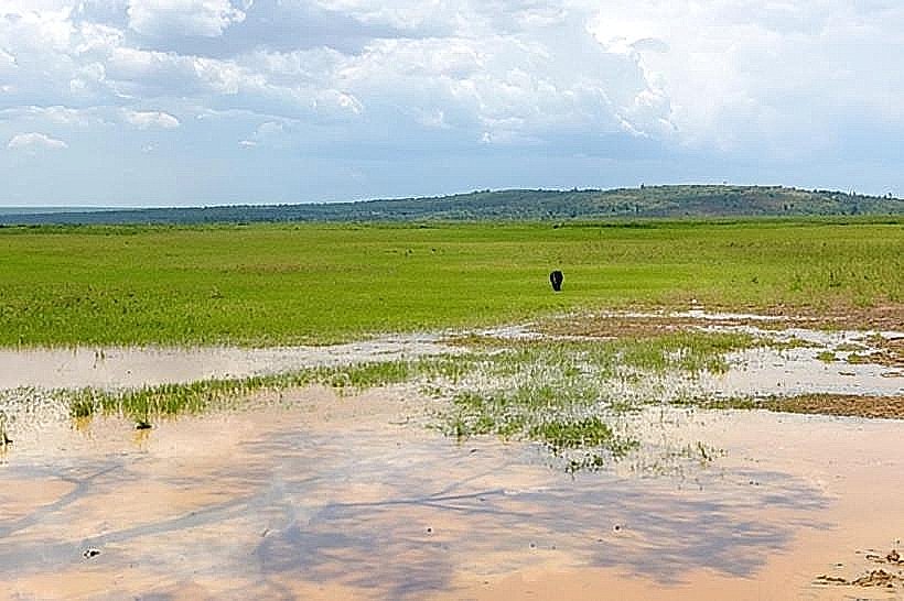
The Gashora Wetlands are a significant ecological complex in the Bugesera District of Rwanda, located approximately 50km south of Kigali. This system comprises several shallow lakes-including Lake Gashora, Lake Mirayi, and Lake Rumira-interconnected by extensive papyrus marshes and seasonal floodplains.
Visual Characteristics
The landscape is defined by vast expanses of green papyrus reeds and floating vegetation that fringe the open water of the lakes. The terrain is relatively flat, consisting of semi-arid savannah interspersed with fertile agricultural plots and palm-lined banks. During the rainy season, the water levels rise to create a continuous wetland corridor, while the dry season reveals distinct lake boundaries and muddy flats.
Location & Access Logistics
Access is via the paved Kigali–Nyamata highway, turning east toward the town of Gashora. The main roads to the Gashora village area are paved, but reaching specific lakeshores or birdwatching points requires navigating unpaved laterite tracks.
Vehicle Requirement: A 4WD is recommended during the rainy season (March–May) due to mud, though high-clearance 2WD vehicles can manage during the dry season.
Transport: No direct public transport serves the wetlands; visitors typically take a bus to Nyamata or Gashora and hire a motorcycle taxi (moto) for the final leg.
Historical & Ecological Origin
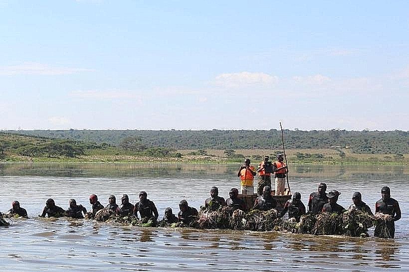
The wetlands are part of the Akagera River catchment area, formed by the meandering of the river across the low-lying Bugesera plains. Geologically, the lakes are shallow depressions filled by river overflow and rainwater. Historically, the area has been a critical resource for traditional fishing and cattle grazing. Ecologically, it is an Important Bird Area (IBA), supporting over 150 species, including the endangered Papyrus Gonolek and the Grey Crowned Crane.
Key Highlights & Activities
Birdwatching: The primary activity, with high concentrations of water birds, kingfishers, and herons.
Canoeing: Local fishermen often provide informal trips in traditional dugout canoes through the papyrus channels.
Photography: The wetlands offer high-fidelity landscape shots, particularly of the "floating islands" of vegetation at sunrise.
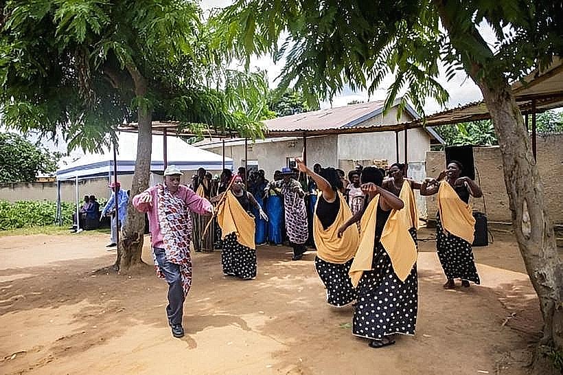
Community Visits: Gashora is home to several community-based tourism initiatives focusing on traditional pottery and farming.
Infrastructure & Amenities
The area is moderately developed for eco-tourism compared to other Bugesera lakes.
Accommodations: Several eco-lodges and a prominent international school (Gashora Girls Academy) are located in the vicinity.
Connectivity: 4G/5G cellular signal is strong and consistent throughout the wetlands.
Facilities: Public restrooms and dining are limited to the specific lodges or the small shops in Gashora town.
Best Time to Visit
The dry seasons (June–August and December–February) are best for navigating the access tracks. For birdwatching, the early morning hours (06:00–09:00) are essential, as avian activity decreases significantly in the midday heat.
Facts & Legends
A verified ecological fact is that the Gashora Wetlands act as a natural filtration system for the Akagera River, trapping sediment and pollutants before the water moves downstream. Local accounts often highlight the presence of hippopotamuses in the deeper sections of Lake Rumira, though sightings require patience and a local guide.
Nearby Landmarks
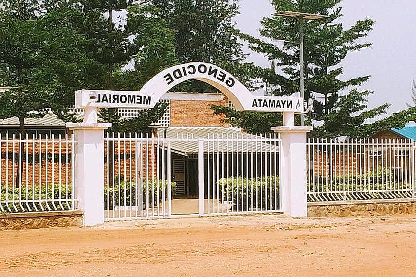
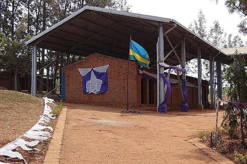
Nyamata Genocide Memorial (20km West)
Lake Rumira (Within the wetland complex)
Lake Mirayi (Adjacent to Gashora town)
Kigali (50km North)