City: Falealupo
Country: Samoa
Continent: Australia
Falealupo, Samoa, Australia
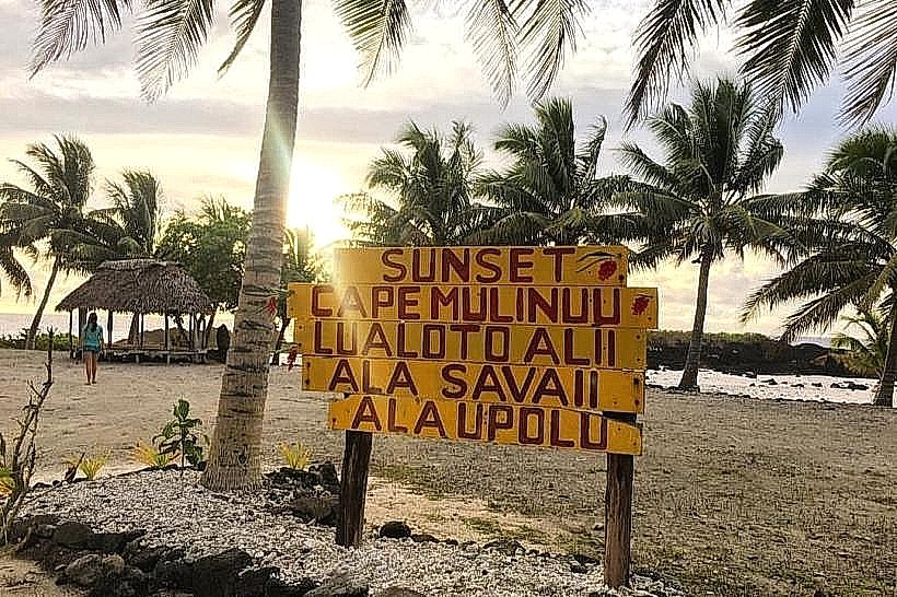
Falealupo is a traditional village located at the westernmost point of Savai'i, serving as a critical site for Samoan mythology and conservation. It is situated on the edge of the Apolima Strait, positioned geographically as the last place in Samoa to see the sunset.
Historical Timeline
Falealupo has been settled for over a millennium and is governed by ancient orator titles that hold significant sway in Samoan political history. The village was governed through colonial administrations until independence in 1962. The most significant architectural reconstruction occurred following the devastating Cyclones Ofa (1990) and Val (1991), which led to the abandonment of the original seaside village and the relocation of the population to Falealupo-Uta (inland). The primary event shaping its current urban form was the 1989 international conservation agreement, which established the Falealupo Rainforest Preserve to protect the forest from logging.
Demographics & Population
The village population is approximately 500 residents. The demographics are 99% ethnic Samoan, with almost all residents belonging to traditional family lineages of the Alataua district. The median age is approximately 22 years.
Urban Layout & Key Districts
Falealupo is divided into two distinct zones: Falealupo-Tai (the coastal ruins and beach area) and Falealupo-Uta (the modern inland residential settlement). The Rainforest Preserve (Southwest) is the primary district for visitors, while the communal village center (Northwest) serves as the cultural heart.
Top City Landmarks
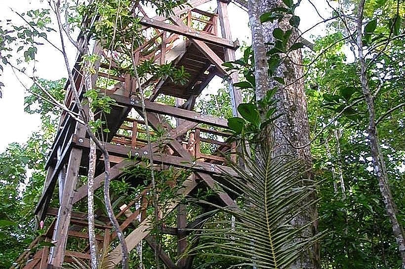
Falealupo Rainforest Canopy Walkway
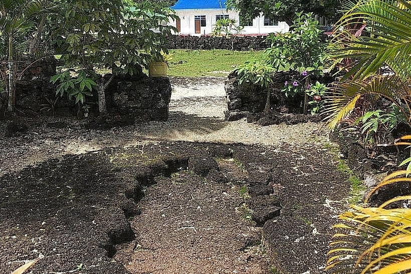
Moso’s Footprint (a geological indentation in the basalt)
The Gateway to the Underworld (Fafa o Sauali'i)
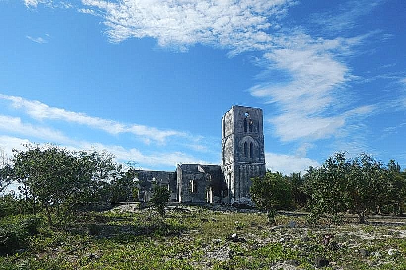
The Ruined Catholic Church
Cape Mulinu'u Lighthouse
Transportation Network
Movement is conducted via private vehicles or the Savai'i island bus system, though buses to this remote western point are less frequent than in the east. There is no rail or metro infrastructure. Taxis must be pre-arranged from Salelologa, as none are stationed in the village; official taxis are white. Traffic density is non-existent.
Safety & "Red Zones"
The village is exceptionally safe. There are no "red zones." The primary risks are physical, specifically the height of the canopy walkway and the sharp volcanic rocks at the coast. Visitors must respect the evening "Sa" prayer time and pay the required village fees at the designated visitor center before entering landmarks.
Digital & Financial Infrastructure
Internet speeds average 10-15 Mbps via 4G, though signal strength can be inconsistent due to the remote location. Vodafone and Digicel are the carriers. Card acceptance is non-existent; the local economy operates strictly on cash. There are no ATMs in Falealupo; the nearest banking services are 90 minutes away in Salelologa.
Climate & Air Quality
Temperatures range from 24°C to 31°C. Air quality is pristine. The area is highly exposed to western weather patterns and is the first to encounter storms approaching from the west. The rainforest canopy creates high humidity levels in the southern district.
Culture & Social Norms
Tipping is not practiced. A handshake is the standard greeting. Dress code is strictly conservative; shoulders and knees must be covered within the village limits. Public noise and movement are prohibited during "Sa." It is culturally offensive to enter the "Gateway to the Underworld" area without a local guide or village permission.
Accommodation Zones
Falealupo-Tai: Recommended for traditional beach fales and direct sunset views.
Rainforest Preserve Vicinity: Recommended for eco-lodge experiences and proximity to the canopy walk.
Local Cost Index
Espresso: 9.50 WST ($3.50)
Standard Lunch: 25.00 WST ($9.25)
Rainforest Canopy Fee: 20.00 WST ($7.40)
Nearby Day Trips
Taga Blowholes: 45 km (1-hour drive).
Asau Wharf: 20 km (30-minute drive).
Satuiatua Beach: 35 km (50-minute drive).
Vaisala: 15 km (20-minute drive).
Facts & Legends
Falealupo is central to Samoan cosmology as the site of the "Fafa o Sauali'i," a hole in the reef believed to be the entrance to the underworld (Pulotu). According to legend, the souls of the dead travel to the westernmost tip of Falealupo to leap into the ocean and begin their journey to the afterlife. A verified historical oddity is that before Samoa moved the International Date Line in 2011, Falealupo was the last place on Earth to see the sun set each day.