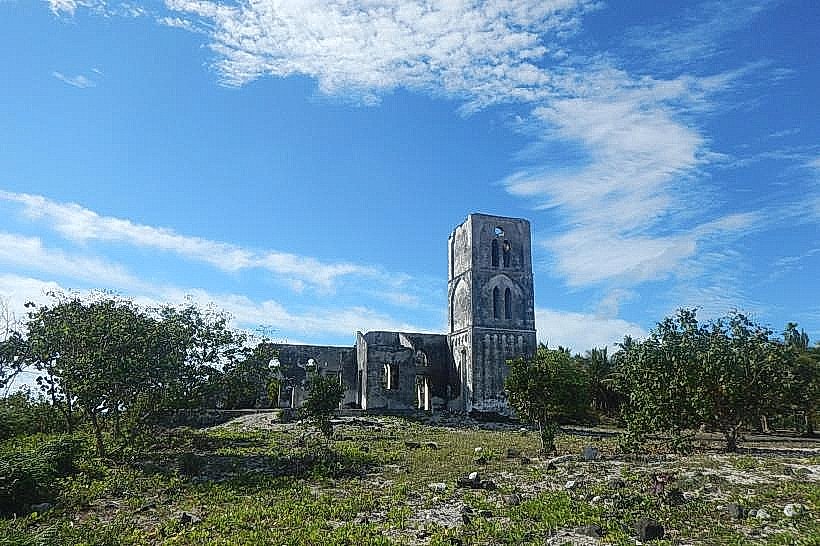
Landmark: Falealupo Church Ruins
City: Falealupo
Country: Samoa
Continent: Australia
Falealupo Church Ruins, Falealupo, Samoa, Australia
The Falealupo Church Ruins are the structural remains of a Catholic cathedral located on the westernmost tip of Savai'i, Samoa. The building was significantly damaged and subsequently abandoned following the catastrophic cyclones Ofa (1990) and Val (1991).
Visual Characteristics
The ruins consist of high, freestanding masonry walls and arched window frames made of reinforced concrete and coral lime. The roof is entirely absent, leaving the interior open to the elements and allowing large tropical trees and vines to grow within the former nave. The white-and-grey walls are heavily weathered with dark streaks of lichen and moss, creating a stark contrast against the surrounding green jungle and blue coastal horizon.
Location & Access Logistics
The site is situated approximately 84km west of Salelologa via the North Coast Road. It is located on the coastal side of the village of Falealupo-tai. Access is via a flat, unpaved road that leads toward the western coastline. A small entry fee is typically collected as part of a multi-site pass for the Falealupo district. Parking is available in a grassy clearing directly adjacent to the ruins. Due to the remote location, private rental vehicles are the most common form of transport.
Historical & Ecological Origin
The church was once the center of the Catholic mission in western Savai'i. The structural failure caused by the back-to-back cyclones in the early 1990s led the village to relocate inland to Falealupo-uta, leaving the church to be reclaimed by the forest. Ecologically, the ruins have become a localized habitat for bird species and climbing epiphytes, illustrating the rapid pace of tropical reforestation over man-made structures.
Key Highlights & Activities
Exploration of the interior "forest floor" within the church walls is the primary activity. The site is a major location for architectural photography, particularly the view through the empty bell tower and the altar area where the jungle has moved in. Visitors can observe the resilient construction techniques that allowed the main walls to remain standing despite the removal of the roof and internal fittings.
Infrastructure & Amenities
Infrastructure is minimal, consisting of a simple perimeter fence and a small shaded fale for the local caretaker. There are no public restrooms, electricity, or running water at the ruins. 4G cell phone signal is very weak or non-existent. Basic services and small convenience stores are located several kilometers away in the newer village settlement of Falealupo-uta.
Best Time to Visit
The best time for photography is late afternoon (4:00 PM to 6:00 PM) when the sun begins to set over the western ocean, casting long shadows through the arched windows. The site is open Monday through Saturday during daylight hours. Sunday visits are generally restricted due to local village observances.
Facts & Legends
A unique historical detail is that the church steeples were once used as a landmark for ships navigating the western entrance to the Apolima Strait. A practical tip for visitors is to remain cautious of falling debris or loose masonry, as the structure is unreinforced and continues to weather.
Nearby Landmarks
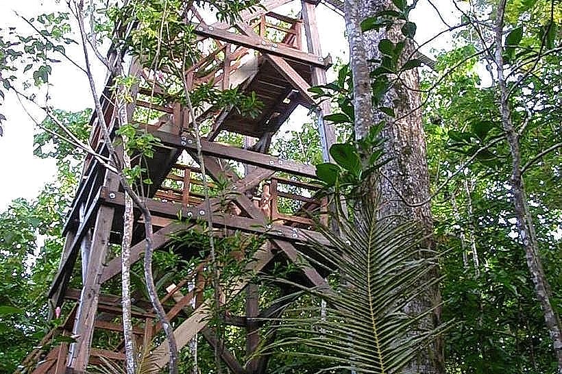
Falealupo Canopy Walkway – 2.5km East
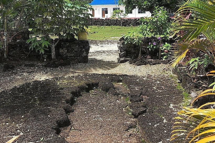
Moso’s Footprint – 2.0km South
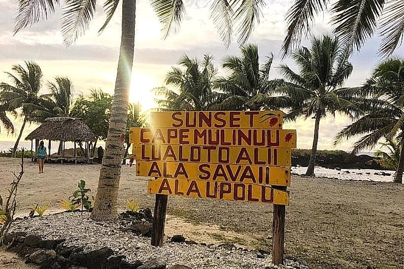
Cape Mulinu'u – 1.8km Southwest
Falealupo Rainforest Preserve – 1.0km East