Information
City: KitaleCountry: Kenya
Continent: Africa
Kitale, Kenya, Africa
Kitale is the administrative capital of Trans Nzoia County and serves as the primary agricultural supply hub for the North Rift region. It is situated at an elevation of 1,890 meters, positioned between Mount Elgon to the west and the Cherangani Hills to the east.
Historical Timeline
Kitale was founded in 1908 by white settlers as a staging post for the development of large-scale grain and dairy farming. The primary event shaping its current urban form was the 1926 arrival of the branch line of the Uganda Railway, which cemented its status as the "Breadbasket of Kenya." Following independence, the city transitioned into a critical center for seed production, specifically hosting the headquarters of the Kenya Seed Company.
Demographics & Population
The estimated metropolitan population for 2026 is 180,000. The demographics are highly diverse, including Bukusu (Luhya), Kalenjin, and Maasai communities, alongside a legacy community of European and Indian origins linked to the agricultural sector. The median age is approximately 19.5 years.
Urban Layout & Key Districts
The city is organized around the intersection of the A1 (Lodwar-Kapenguria) and C45 highways.
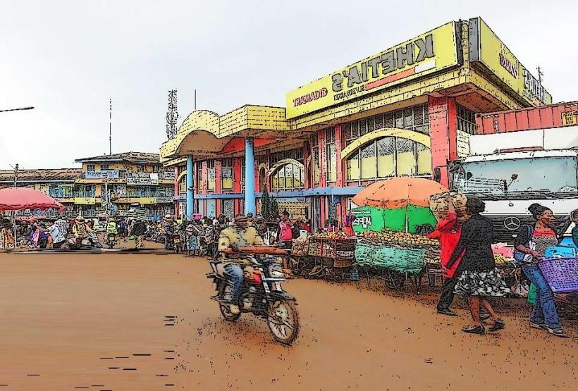
The CBD: A high-activity commercial core characterized by agricultural hardware stores and grain silos.
Milimani: The affluent, low-density residential district to the north.
Kenyatta & Bondeni: High-density residential zones.
The Industrial Area: Located near the railway terminus, dominated by seed processing plants and warehouses.
Top City Landmarks
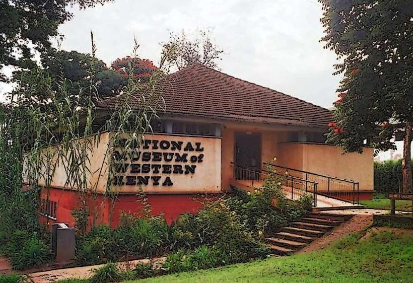
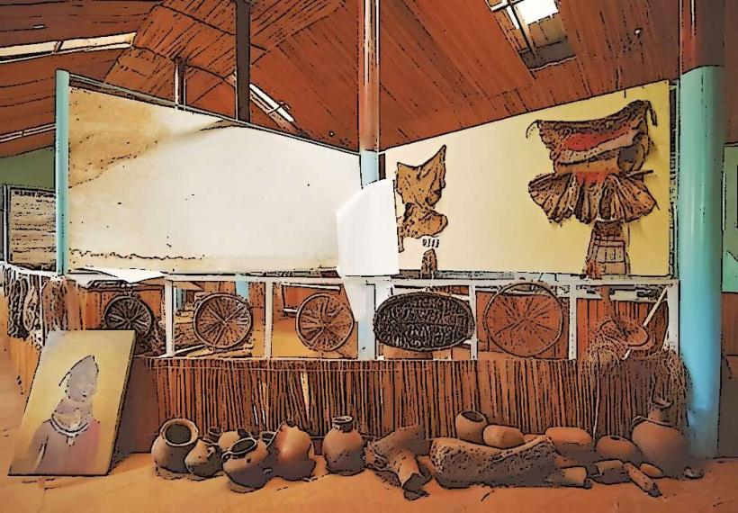
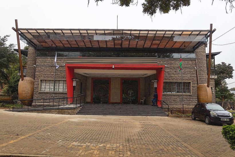
Kitale Museum: The first inland museum in Kenya, featuring ethnographic displays of Nilotic and Bantu cultures.
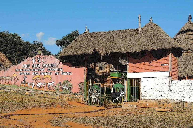
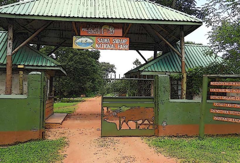
Saiwa Swamp National Park: Kenya's smallest national park, established specifically to protect the endangered Sitatunga antelope.
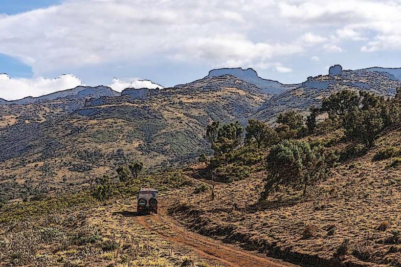
Mount Elgon National Park: An expansive volcanic mountain park featuring the famous Kitum Caves.
Kenya Seed Company Headquarters: A central pillar of the city's economy.
The Treasured Museum: A private collection of historic Kenyan artifacts and colonial-era memorabilia.
Transportation Network
Intra-city transit is facilitated by Boda Bodas and Matatus. Kitale is a major logistical junction for transport heading toward South Sudan (via Kapenguria and Lodwar). The Meter Gauge Railway (MGR) branch line remains crucial for the bulk transport of grain and fertilizer. Traffic density is moderate, with peak activity during the harvest seasons (October–December).
Safety & "Red Zones"
The general safety level is high. Petty theft is common in the main market and the bus terminal area. There are no specific "red zones," though travelers should avoid the Matisi informal settlement after dark. Due to its proximity to the border and mountainous terrain, hiking on Mount Elgon should only be conducted with KWS rangers.
Digital & Financial Infrastructure
Internet speeds average 25–40 Mbps. Main carriers are Safaricom and Airtel. M-Pesa is the dominant payment method. ATMs are concentrated in the CBD along the main road. Credit card acceptance is restricted to large supermarkets (Naivas, Quickmart) and major hotels.
Climate & Air Quality
Temperatures range from 11°C to 26°C. The climate is temperate and moist, receiving high rainfall that supports year-round agriculture. Air quality is exceptional. Significant weather risks include heavy thunderstorms and localized flooding in low-lying agricultural plains.
Culture & Social Norms
English and Swahili are used for business. The culture is deeply rooted in "farm-to-market" social cycles; the town's prosperity is directly tied to the national grain prices. Tipping is standard at 5%. Shaking hands is the standard greeting. Dress codes are conservative and functional.
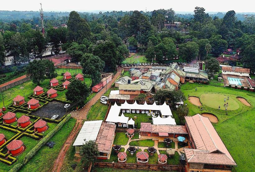
Accommodation Zones
Milimani: Recommended for secure, quiet guesthouses and hotels.
Kapenguria Road: Recommended for proximity to national parks and eco-lodges.
Local Cost Index
1 Espresso: 220 KES ($1.45 USD)
1 Standard Lunch (Maize Meal/Beef): 650 KES ($4.20 USD)
1 Short Boda Boda Trip: 100 KES ($0.65 USD)
Nearby Day Trips
Cherangani Hills: 35 km (High-altitude hiking and indigenous forests).
Tartar Falls: 40 km (Scenic waterfalls near Kapenguria).
Kitum Cave: 50 km (Located in Mt. Elgon Park, known for "salt-mining" elephants).
Facts & Legends
Kitale is often called the "Seed Town" because it produces over 90% of the hybrid maize seed used in Kenya. A local legend at Mount Elgon claims the caves were carved by ancestral spirits to provide shelter for the community during times of war. A verified historical oddity is that Saiwa Swamp is one of the few places in the world where you can view the Sitatunga antelope from elevated wooden boardwalks, as the ground is too unstable for walking.