Information
Landmark: Cherangani HillsCity: Kitale
Country: Kenya
Continent: Africa
Cherangani Hills, Kitale, Kenya, Africa
The Cherangani Hills are a mountain range located in the Rift Valley Province of Kenya, west of Kitale.
This geographical feature comprises a series of elevated plateaus and dissected hills.
Visual Characteristics
The Cherangani Hills are characterized by steep slopes, deep valleys, and escarpments. Vegetation cover varies from dense montane forests at higher elevations to savanna grasslands and agricultural land on the lower slopes. Elevation ranges from approximately 2,000 meters to over 3,000 meters above sea level. Rock formations are primarily sedimentary and volcanic in origin.
Location & Access Logistics
The Cherangani Hills are situated approximately 50 kilometers west of Kitale. Access is primarily via the B4 road, which connects Kitale to Kapenguria and continues towards the foothills. Further access into the hills requires four-wheel-drive vehicles on unpaved tracks. Public transport to the nearest towns like Kapenguria is available via matatus from Kitale. Parking is generally informal and limited to designated areas near trailheads or villages.
Historical & Ecological Origin
The Cherangani Hills are part of the Great Rift Valley system, formed by tectonic activity and subsequent erosion. Ecologically, they represent a significant montane forest ecosystem, acting as a vital water catchment area for rivers feeding into the Lake Turkana basin and the surrounding lowlands. The area has been inhabited by various communities for centuries, with evidence of early agricultural practices.
Key Highlights & Activities
Hiking is a primary activity, with trails leading to viewpoints and through forest areas. Birdwatching is possible due to the diverse avian population. Photography opportunities exist for landscape and flora. Local communities offer cultural interactions.
Infrastructure & Amenities
Basic amenities are scarce within the hills themselves. Small villages may have local shops selling basic provisions. Restrooms are generally not available on trails. Shade is provided by the forest canopy. Cell phone signal is intermittent and often unavailable in deeper valleys.
Best Time to Visit
The dry seasons, from June to September and December to February, offer the most favorable conditions for hiking, with reduced rainfall. The best time of day for photography is generally early morning or late afternoon when light angles are lower, though cloud cover can be prevalent.
Facts & Legends
The Cherangani Hills are a critical source of water for the Turkwell Gorge Dam, a significant hydroelectric power project. Local folklore speaks of ancient spirits residing in the highest peaks, influencing weather patterns.
Nearby Landmarks
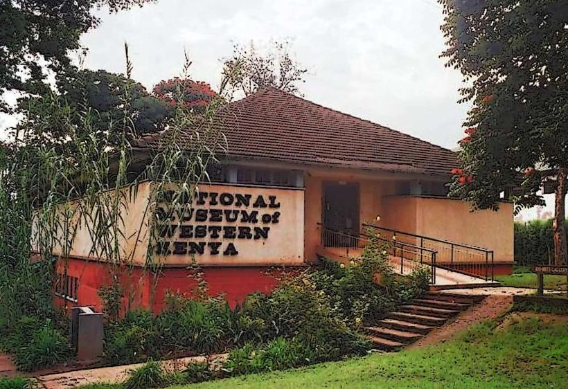
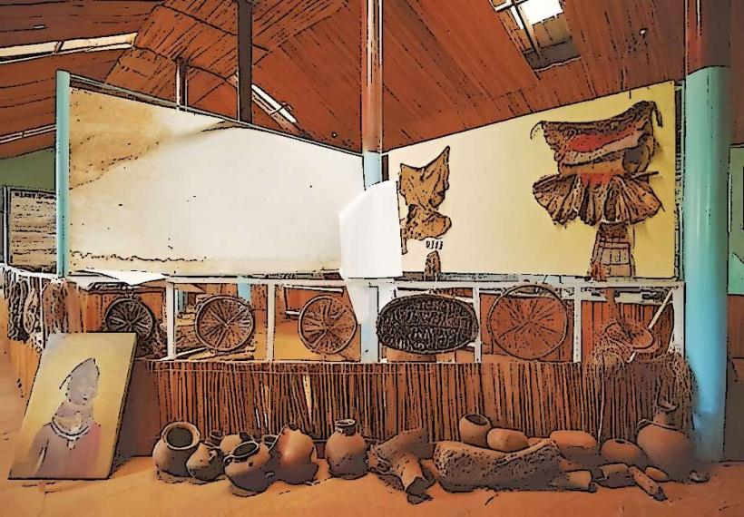
- Kitale Museum (45km East)
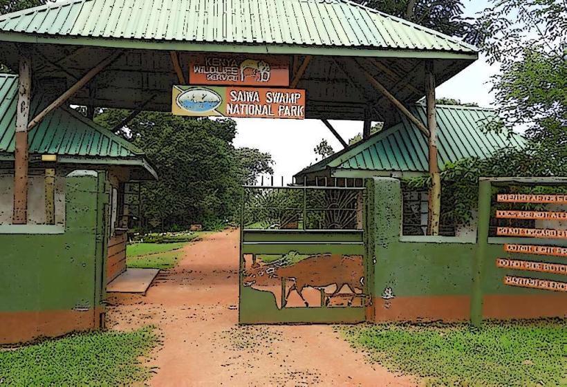
- Saiwa Swamp National Park (30km South-East)
- Mount Elgon National Park (70km West)
- Kapenguria Museum (20km South-West)