City: Taga
Country: Samoa
Continent: Australia
Taga, Samoa, Australia
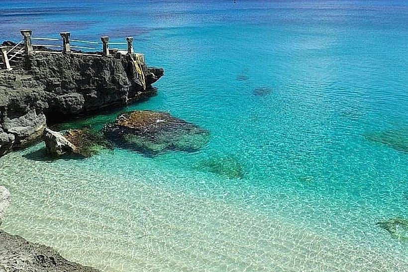
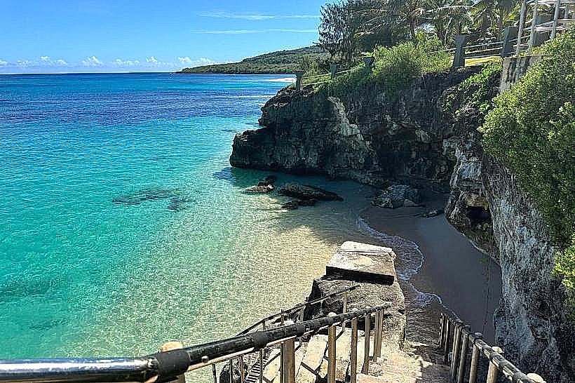
Taga is a traditional village settlement located on the southwestern coast of Savai'i, the largest island in Samoa. It is geographically situated on a rugged volcanic coastline characterized by ancient basalt cliffs and the absence of a protective outer reef.
Historical Timeline
Taga was established as a customary village governed by the Alataua district's chieftainship systems. The village has maintained its current location for centuries, though its urban form was significantly influenced by the development of the Main South Coast Road in the mid-20th century. The most significant event shaping the village's modern layout was the 2009 earthquake and subsequent tsunami warnings, which reinforced the inland expansion of residential dwellings. Unlike northern Savai'i, Taga's landscape was shaped by prehistoric volcanic activity rather than the 1905 Matavanu eruptions.
Demographics & Population
The village population is approximately 800 residents. The demographics are 99% ethnic Samoan, with the remaining 1% consisting of returning residents or spouses from other Pacific islands. The median age is approximately 23 years.
Urban Layout & Key Districts
Taga is organized linearly along the southwestern coastal highway. The village is divided into the Residential Center, where the communal malae and churches are located, and the Taga Blowholes District (West), which serves as the primary area for visitors. Large agricultural tracts for taro and coconut production extend inland toward the island's central rainforest.
Top City Landmarks
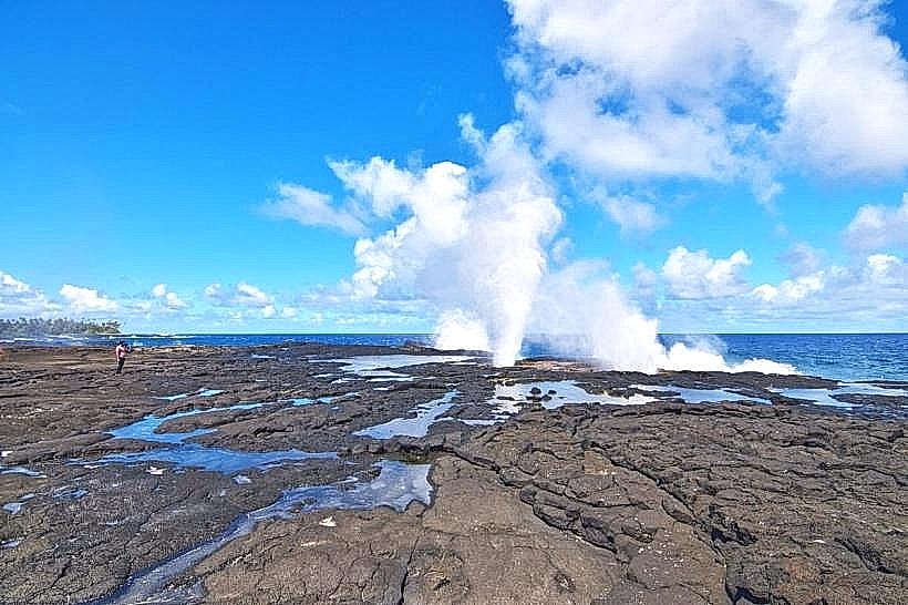
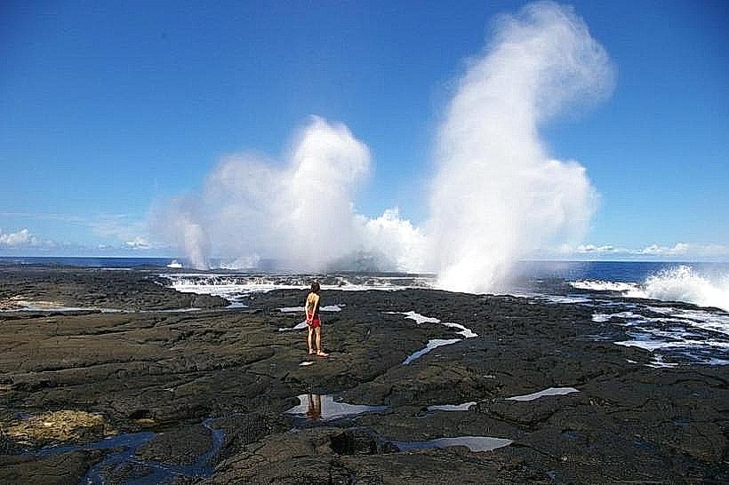
Alofaaga Blowholes (Taga Blowholes)
The Taga Star Mound (Ancient stone structure)
Taga Congregational Church
The Ancient Footprints of Moso (local basalt indentations)
Transportation Network
Movement within Taga is limited to private vehicles and the Savai'i island bus system. Buses travel between Salelologa and the western districts multiple times daily, passing through Taga. There is no rail or metro infrastructure. Taxis must be summoned from Salelologa via phone; official taxis are white. Traffic density is extremely low, consisting mostly of local utility vehicles and tourist transport.
Safety & "Red Zones"
The village is exceptionally safe. There are no "red zones." The primary hazard is the coastline; the blowholes area is extremely dangerous due to slippery basalt rocks and unpredictable, high-pressure water jets. Cultural safety requires adherence to the evening "Sa" prayer time; visitors must stop all activity and remain quiet when the village bells sound.
Digital & Financial Infrastructure
Internet speeds average 15-20 Mbps via 4G/LTE. Vodafone Samoa and Digicel are the available carriers. Card acceptance is non-existent; the local economy is strictly cash-based. There are no ATMs in Taga; the nearest financial services and ATMs are located in Salelologa, approximately a 60-minute drive away.
Climate & Air Quality
Temperatures range from 24°C to 31°C year-round. Air quality is pristine. The village is highly exposed to the southern swells of the Pacific, resulting in high salt spray and humidity. Rainfall is frequent and heavy during the wet season from November to April.
Culture & Social Norms
Tipping is not practiced. A handshake is the standard greeting. Dress code is conservative; shoulders and knees must be covered when walking through the village. Swimming attire is permitted only at the blowholes or beach areas. Access to the blowholes requires a customary entry fee (approx. 5-10 WST) paid to the village family acting as the site custodians.
Accommodation Zones
Taga Village Green: Local guesthouses provide immersive traditional experiences.
Satuiatua (Adjacent): Most travelers stay in the neighboring village of Satuiatua (15 minutes west), which offers established beach resort facilities.
Local Cost Index
Espresso: 8.50 WST ($3.15)
Standard Lunch: 25.00 WST ($9.25)
Bus Ticket (to Salelologa): 6.00 WST ($2.20)
Nearby Day Trips
Satuiatua Beach: 10 km (15-minute drive).
Afu Aau Waterfalls: 30 km (40-minute drive).
Falealupo Village: 45 km (1-hour drive).
Salelologa Market: 40 km (1-hour drive).
Facts & Legends
According to local legend, the Alofaaga Blowholes were created by a high chief who threw his spear into the rock to prove his strength, piercing the volcanic tubes and allowing the sea to erupt through the land. A verified historical oddity is the presence of ancient "Star Mounds" (tia 'ave) in the bush behind the village; these are large, multi-pointed stone platforms whose exact purpose-whether for pigeon-catching rituals or elite residences-remains a subject of archaeological debate.