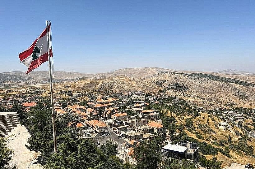
Landmark: Ain el-Tineh Overlook
City: Hasbaya
Country: Lebanon
Continent: Asia
Ain el-Tineh Overlook, Hasbaya, Lebanon, Asia
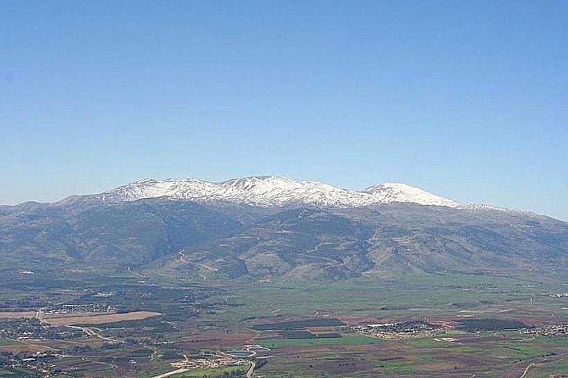
The Ain el-Tineh Overlook is a scenic vantage point situated in the Western Beqaa District within the Beqaa Governorate of Lebanon. The site occupies an elevated position on a mountainous ridge, providing expansive observation views across the Litani River basin and the southern agricultural plains of the Beqaa Valley.
Visual Characteristics
The Ain el-Tineh Overlook consists of an unpaved, exposed limestone promontory dropping sharply into the valley below. The physical landscape features rugged karst rock formations, sparse Mediterranean garrigue vegetation, and wild oak shrubs. The soil composition is a mixture of terra rossa and eroded limestone fragments. From the high elevation point, the view is dominated by the contrasting dark greens of local orchards, the blue thread of the Litani River, and the beige tones of the surrounding mountain ranges.
Location & Access Logistics
The Ain el-Tineh Overlook is located approximately 38 kilometers south of Zahle and roughly 82 kilometers southeast of Beirut. Access from Beirut is achieved by taking the international Damascus Highway to Chtaura, then turning south onto the regional highway passing through Qaraoun and Machghara. The final approach involves a narrow, winding mountain road ascending toward the village of Ain el-Tineh. No formal paved parking lots exist at the edge; vehicles park on the gravel shoulder of the mountain road. Public transit is non-existent to the specific overlook, requiring private 4WD transport or a taxi from neighboring towns.
Historical & Ecological Origin
Geologically, the Ain el-Tineh Overlook sits on a fault-block mountain ridge shaped by tectonic movements along the Dead Sea Transform system. Ecologically, it belongs to the Upper Litani River catchment area, which serves as a vital hydrological zone for Lebanon. Historically, the high ridge served as a strategic observation post monitoring transit routes through the Wadi al-Taym and the southern Beqaa corridors during successive Roman, Ottoman, and French Mandate administrations.
Key Highlights & Activities
Monitoring the seasonal water levels and agricultural patterns of the southern Beqaa Valley floor.
Observing birds of prey during the autumn and spring migratory periods along the Levant flyway.
Surveying the geological fault lines and limestone stratifications exposed on the opposite mountain walls.
Landscape photography of the western slopes of the Anti-Lebanon mountain range.
Infrastructure & Amenities
The Ain el-Tineh Overlook is a raw, unimproved natural site with no formal tourism infrastructure. There are no public restrooms, built shade canopies, or drinking water facilities. A basic safety barrier is absent along the cliff edge. Cell phone signal fluctuates from stable 4G to 3G depending on the specific alignment toward the valley transmitters. There are no commercial food vendors on the immediate overlook, though basic grocery shops and small cafes are located within the village of Ain el-Tineh 1.5 kilometers away.
Best Time to Visit
The optimal period for visiting is from April to June when the valley floor is highly cultivated and green, or from September to November for clear autumn views. The most effective photographic conditions occur between 16:30 and 18:30, as the descending western sun illuminates the valley basin and the front faces of the eastern mountains without creating direct lens glare.
Facts & Legends
Local residents refer to the high ridge as a historical checkpoint used by local partisans during the Great Syrian Revolt of 1925 against French forces. The elevated topography allowed scouts to signal troop movements across the valley using mirrors by day and open fires by night, creating an early warning network that protected the isolated mountain villages.
Nearby Landmarks
Litani River Gorge: 3.2km Southeast
Machghara Town Center: 4.5km South
Lake Qaraoun Dam: 4.8km Northeast
Nabi Sefa Roman Temple Ruins: 4.9km East