Landmark: Arno Beachfront Villages
City: Arno Atoll
Country: Marshall Islands
Continent: Australia
Arno Beachfront Villages, Arno Atoll, Marshall Islands, Australia
Arno Beachfront Villages are a collection of inhabited settlements situated on Arno Atoll in the Marshall Islands.
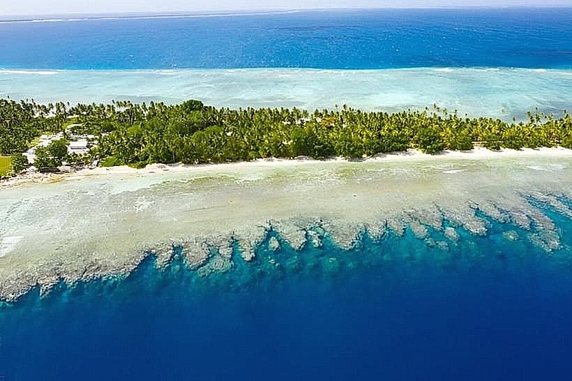
These villages are located on the eastern and southern atolls of Arno Atoll.
Visual Characteristics
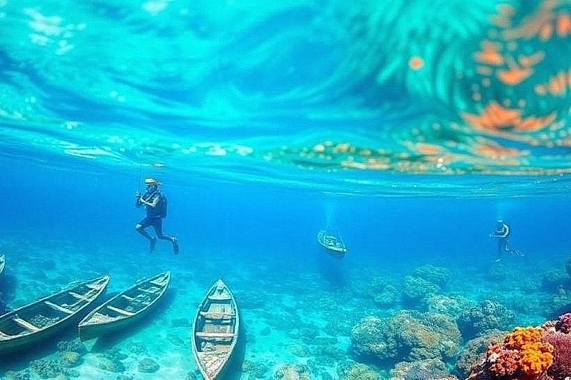
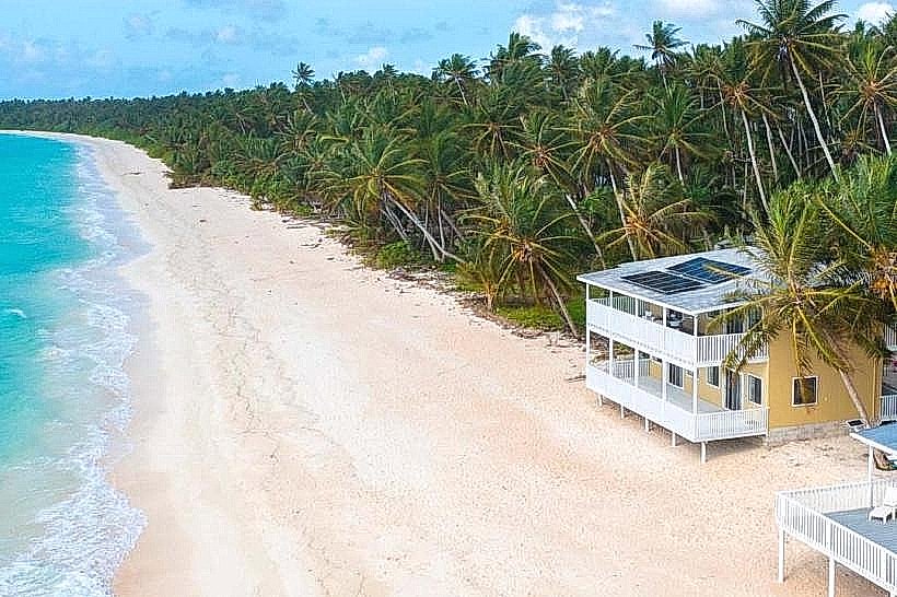
The villages consist of low-lying structures, primarily constructed from coral stone, concrete, and corrugated metal roofing. Dwellings are typically single-story with limited elevation. Vegetation is sparse, dominated by coconut palms and salt-tolerant shrubs. The coastline features white coral sand beaches and shallow, clear lagoon waters.
Location & Access Logistics
Arno Atoll is accessible via boat transfer from Majuro Atoll, the capital of the Marshall Islands. The boat journey from Majuro takes approximately 2 to 3 hours, depending on sea conditions. There are no roads connecting Arno Atoll to Majuro. Within Arno Atoll, inter-village transport is primarily by foot or small boat. There is no formal parking infrastructure; vehicles are not common.
Historical & Ecological Origin
Arno Atoll is a coral atoll, formed by the accumulation of coral polyps over a submerged volcanic seamount. The villages have existed for centuries, serving as traditional fishing and agricultural communities for the indigenous Marshallese population. The original purpose was subsistence living, centered around marine resources and copra production.
Key Highlights & Activities
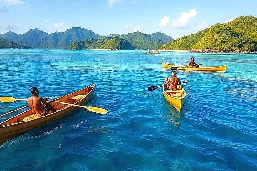
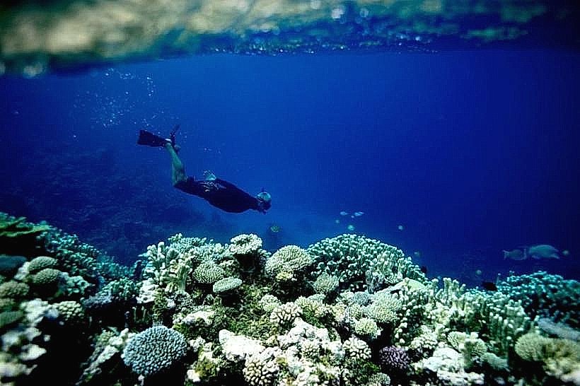
Activities include observing local fishing practices, exploring the lagoon by kayak or small boat, and walking between the villages. Snorkeling is possible in the lagoon, particularly in areas with coral formations. Visitors can engage with residents to learn about traditional Marshallese life.
Infrastructure & Amenities
Restrooms are generally basic and may not be available in all private residences. Shade is provided by coconut palms and the roofs of dwellings. Cell phone signal (4G/5G) is intermittent and unreliable. Food vendors are not present; sustenance is typically sourced from local gardens and fishing.
Best Time to Visit
The dry season, from January to April, offers the most favorable weather conditions with less rainfall. The best time of day for photography is generally during the morning and late afternoon when the sun angle is lower, reducing harsh shadows. High tide is preferable for lagoon exploration by boat.
Facts & Legends
A local legend speaks of a giant sea turtle that guided the first settlers to Arno Atoll. Historically, Arno Atoll was a significant copra trading center in the early 20th century.
Nearby Landmarks
- Majuro Atoll (Capital) - 50km Southeast (Water Transfer Required)
- Laura Beach - 45km Southeast (Water Transfer Required)
- Enewetak Atoll - 400km Northwest (Air/Sea Transfer Required)
- Bikini Atoll - 450km Northwest (Air/Sea Transfer Required)