Landmark: Baker Nuclear Test Site Markers
City: Bikini Atoll
Country: Marshall Islands
Continent: Australia
Baker Nuclear Test Site Markers, Bikini Atoll, Marshall Islands, Australia
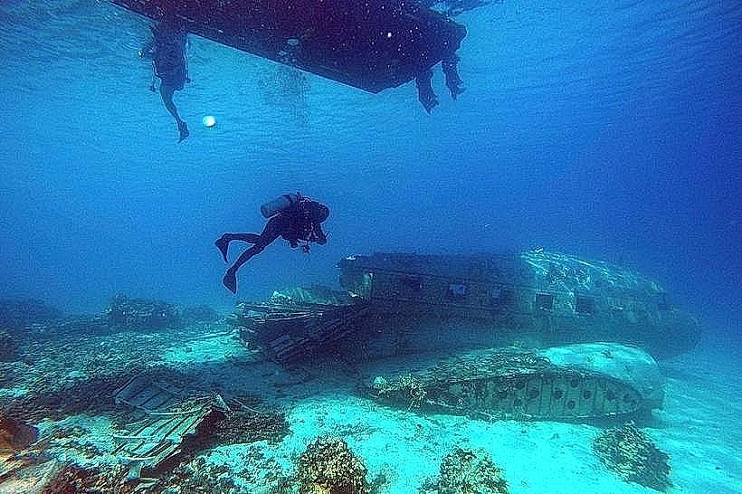
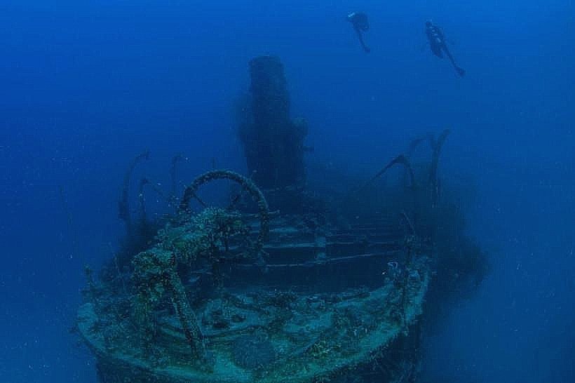
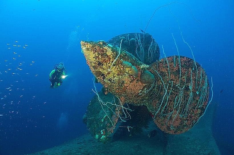
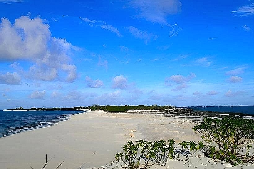
The Baker Nuclear Test Site Markers are located on the eastern edge of Bikini Atoll in the Marshall Islands. These markers commemorate the site of a significant nuclear weapons test conducted during Operation Crossroads.
Visual Characteristics
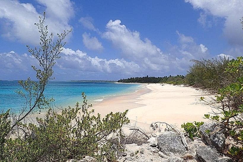
The primary visual element is a concrete marker, approximately 1 meter in height, situated on a coral reef flat. The marker is weathered and shows signs of erosion. The surrounding area consists of shallow, clear turquoise water and exposed coral rubble at low tide.
Location & Access Logistics
Access to the Baker Nuclear Test Site Markers requires a boat transfer from the main inhabited island of Enewetak or a chartered vessel. The site is approximately 10 kilometers east of the main lagoon entrance. There is no direct road access. Visitors typically anchor offshore and access the marker via a small dinghy or by swimming from a boat. Parking is not available.
Historical & Ecological Origin
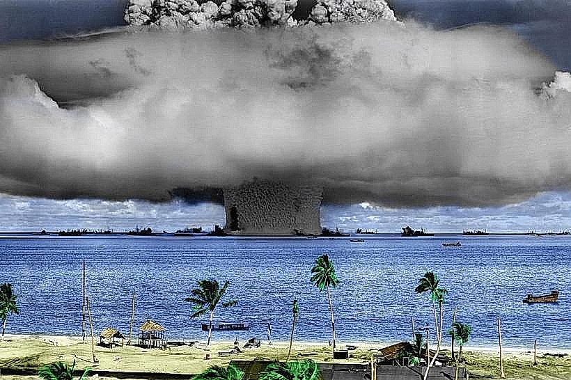
The Baker Nuclear Test Site Markers were established to denote the precise location of the "Baker" test, a shallow underwater nuclear detonation conducted on July 25, 1946, as part of Operation Crossroads. The site is situated on a coral reef, a marine ecosystem formed by the accumulation of calcium carbonate secreted by marine invertebrates.
Key Highlights & Activities
Observation of the Baker Nuclear Test Site Marker. Snorkeling and diving are possible in the surrounding reef area, though visibility can vary. The site is primarily of historical interest.
Infrastructure & Amenities
No permanent infrastructure or amenities are present at the Baker Nuclear Test Site Markers. Restrooms, shade, and food vendors are not available. Cell phone signal is unreliable.
Best Time to Visit
The best time for photography is during midday when the sun is highest, providing optimal lighting on the water and marker. Visiting during low tide allows for easier access to the reef flat. The dry season, from January to April, offers the most favorable weather conditions with reduced rainfall.
Facts & Legends
The Baker test was designed to assess the effects of a nuclear explosion on naval vessels. A total of 95 target ships were positioned around the detonation point. The force of the explosion created a temporary mushroom cloud that reached an altitude of over 18,000 meters.
Nearby Landmarks
- Crossroads Test Site Marker (Able) - 15km Northwest
- Enewetak Atoll - 40km West
- Ujelang Atoll - 60km Southwest
- Kwajalein Atoll - 200km Southeast