Information
Landmark: Batu Ferringhi BeachCity: Penang
Country: Malaysia
Continent: Asia
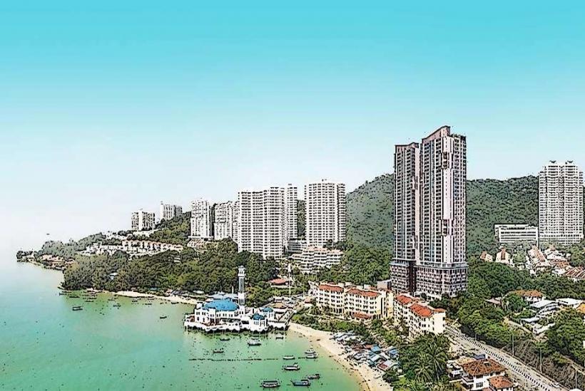
Batu Ferringhi Beach, Penang, Malaysia, Asia
Batu Ferringhi Beach is a coastal area located on the northern coast of Penang Island, Malaysia. It is a popular destination known for its shoreline and associated activities.
Visual Characteristics
The beach consists of a strip of sand, varying in width depending on tidal conditions. The sand is generally light brown and moderately coarse. The water color is typically a muted blue-green, influenced by sediment and depth. Along the landward side, vegetation includes palm trees and tropical shrubs. The shoreline is approximately 3 kilometers in length.
Location & Access Logistics
Batu Ferringhi Beach is situated approximately 15 kilometers northwest of George Town, the capital of Penang. Access is primarily via Jalan Batu Ferringhi, a coastal road. Driving from George Town takes approximately 30-45 minutes, depending on traffic. Numerous parking areas are available along the roadside and in designated lots, though they can become congested during peak hours. Public transport is available via Rapid Penang bus routes 101 and 102, which run frequently from George Town and other parts of the island.
Historical & Ecological Origin
Batu Ferringhi's development as a tourist area began in the mid-20th century. Historically, it was a fishing village. Ecologically, the area is part of the Straits of Malacca coastal zone, characterized by sandy beaches and shallow marine environments. The coastline is subject to monsoon seasons, influencing wave action and sediment deposition.
Key Highlights & Activities
Activities include swimming, sunbathing, and water sports such as jet skiing and parasailing. Horse riding is offered along the beach. Evening markets selling local crafts and souvenirs operate along Jalan Batu Ferringhi. Observation of local marine life is possible, particularly during low tide.
Infrastructure & Amenities
Restrooms and changing facilities are available at various points along the beach, often associated with hotels and public access areas. Shade is provided by natural vegetation and temporary structures. Cell phone signal (4G/5G) is generally strong throughout the area. Numerous food stalls, cafes, and restaurants are located adjacent to the beach, offering local and international cuisine.
Best Time to Visit
The best months for weather are generally from December to February, characterized by lower humidity and less rainfall. The late afternoon, between 4:00 PM and 6:00 PM, offers softer lighting for photography. Tidal conditions do not significantly restrict beach access, but low tide exposes more sand.
Facts & Legends
The name "Batu Ferringhi" translates to "Foreigner's Rock," referencing historical encounters with European traders. A local anecdote suggests that certain rock formations visible at low tide were once the ships of ancient mariners turned to stone.
Nearby Landmarks
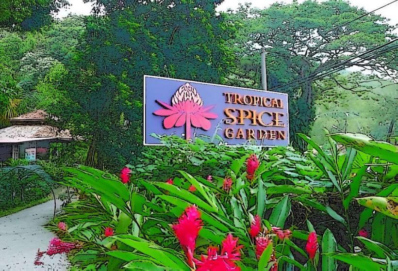
- Tropical Spice Garden (1.2km Southwest)
- Entopia by Penang Butterfly Farm (2.5km Southwest)
- Escape Theme Park (3.0km Southwest)
- Penang National Park (4.5km West)
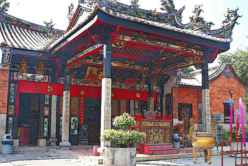
- Kek Lok Si Temple (8.0km Southeast)