Information
Landmark: Penang BridgeCity: Penang
Country: Malaysia
Continent: Asia
Penang Bridge, Penang, Malaysia, Asia
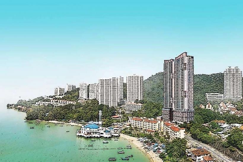
The Penang Bridge is a major vehicular bridge connecting Gelugor on the island of Penang to Seberang Perai on the mainland of Malaysia.
It is a significant piece of infrastructure facilitating transportation and commerce between the island and the mainland.
Visual Characteristics
The bridge is a concrete box girder bridge, measuring 13.5 kilometers (8.4 miles) in length. It features a distinctive twin-pylon design in its central section, with the main span reaching a height of 38 meters (125 feet) above sea level to allow for maritime traffic. The roadway consists of multiple lanes in each direction.
Location & Access Logistics
The bridge connects to the North-South Expressway (E1) on the mainland and Jalan Sultan Azlan Shah on Penang Island. The island-bound entrance is located in Gelugor, approximately 10 kilometers (6.2 miles) south of George Town. The mainland-bound entrance is in Perai. Ample vehicle access is provided via major highways. No public transport directly traverses the bridge; users rely on private vehicles or taxis.
Historical & Ecological Origin
Construction of the Penang Bridge began on January 23, 1982, and it was officially opened on September 14, 1985. It was designed by the engineering firm Kumpulan Jururancang Malaysia (KJM) and built by a consortium led by Hyundai Engineering and Construction Co., Ltd. Its primary purpose was to alleviate traffic congestion on the Penang Ferry Service and to stimulate economic development on the island.
Key Highlights & Activities
The primary activity associated with the Penang Bridge is vehicular transit. Pedestrian access is prohibited. Observation points for viewing the bridge's structure and the surrounding strait are available at designated rest areas on both the island and mainland approaches.
Infrastructure & Amenities
The bridge itself has no amenities. Rest areas located at the bridge approaches on both sides offer basic facilities including restrooms and food stalls. Cell phone signal (4G/5G) is generally consistent across the bridge.
Best Time to Visit
For vehicular transit, traffic is typically heaviest during morning (7:00 AM - 9:00 AM) and evening (5:00 PM - 7:00 PM) rush hours on weekdays. Off-peak hours and weekends offer smoother passage. For photographic purposes, sunrise and sunset provide distinct lighting conditions, with the bridge illuminated by city lights after dark.
Facts & Legends
A local anecdote suggests that the bridge's construction was influenced by a desire to connect Penang to the mainland more directly, mirroring the development of other major cities. While not a legend, a significant historical oddity is the bridge's role in facilitating the island's rapid growth and integration into the national transportation network.
Nearby Landmarks
- Queensbay Mall (1.5km West)
- Penang International Airport (10km Southwest)
- Universiti Sains Malaysia (USM) (2km West)
- Taman Metropolitan Relau (4km Southwest)
- Bukit Jambul Country Club (4km Southwest)