Landmark: Bear Creek Trail
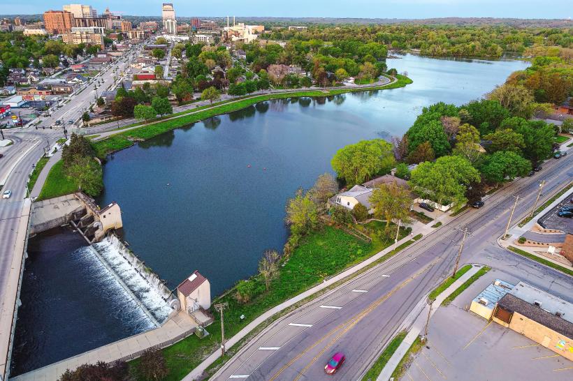
City: Rochester MN
Country: USA Minnesota
Continent: North America
Bear Creek Trail, Rochester MN, USA Minnesota, North America
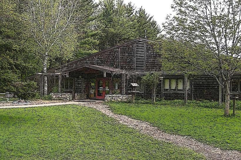
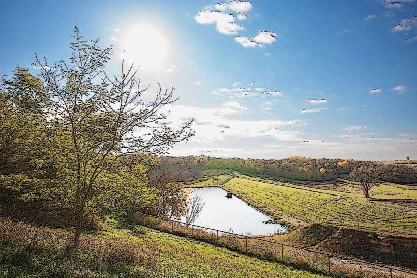
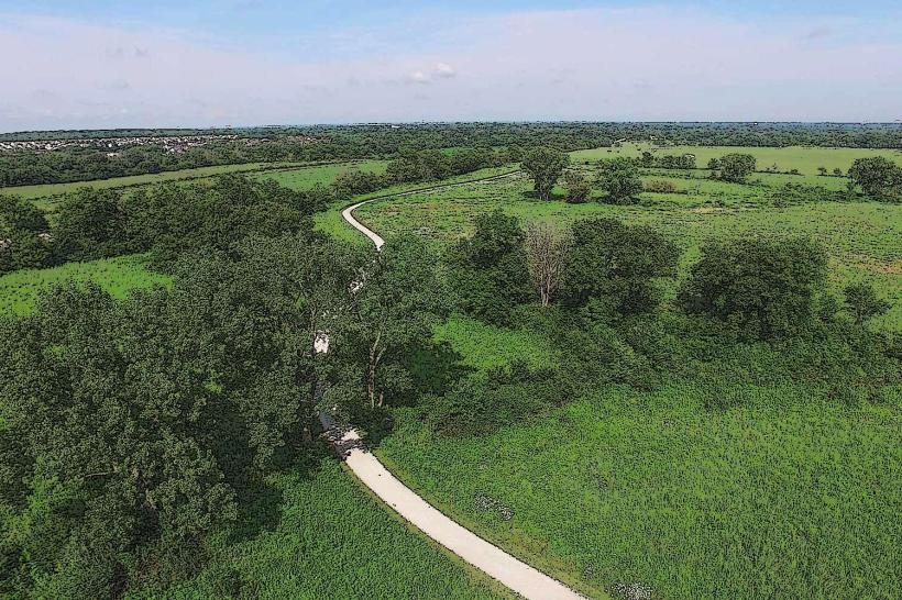
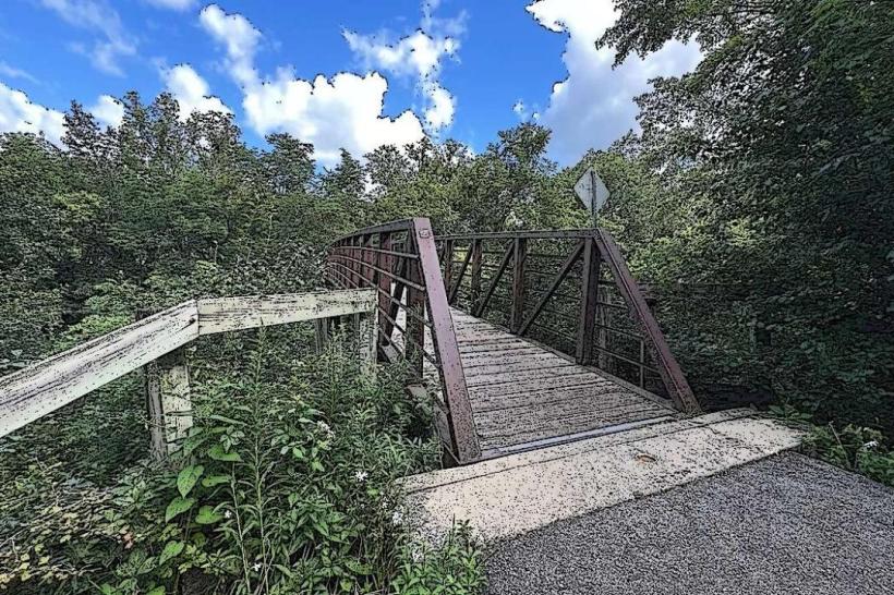
Bear Creek Trail is a paved multi-use path located in Rochester, Minnesota, USA. It follows the course of Bear Creek through urban and natural landscapes.
Visual Characteristics
The trail surface is asphalt, measuring approximately 10 feet in width. It is bordered by mowed grass, mature deciduous trees (primarily oak and maple), and sections of riparian vegetation along Bear Creek. The creek itself varies in width, with water color dependent on recent rainfall, ranging from clear to muddy brown. Small rock outcroppings are visible in some creek bed sections.
Location & Access Logistics
Bear Creek Trail is accessible from multiple points within Rochester. The main trailhead is located at 400 36th Avenue NW, approximately 3 miles northwest of the city center. Parking is available at designated lots at the 36th Avenue NW trailhead and at Soldiers Field Park (1200 4th Street SE), which connects to the trail via a spur. Public transport options include the Rochester Public Transit Route 2, which stops within 0.5 miles of the 36th Avenue NW trailhead.
Historical & Ecological Origin
The trail was developed in phases, with initial construction beginning in the late 1980s as part of urban park development and flood control initiatives along Bear Creek. The creek is a tributary of the Zumbro River, and its watershed is characterized by agricultural and urban land use. The surrounding vegetation is a mix of remnant prairie and second-growth forest.
Key Highlights & Activities
Activities include walking, running, cycling, and in-line skating. Birdwatching is possible along the creek banks. The trail connects to other local parks, offering extended route options. Designated fishing access points are present along the creek in certain sections.
Infrastructure & Amenities
Restrooms are available at the 36th Avenue NW trailhead and at Soldiers Field Park. Shade is provided by mature trees along most of the trail. Cell phone signal (4G/5G) is generally consistent throughout the trail. No food vendors are directly located on the trail; however, commercial areas are accessible within 1 mile of several access points.
Best Time to Visit
For photography, early morning or late afternoon provides optimal lighting conditions due to the tree canopy. The months of May through October offer the most pleasant weather for outdoor activities. No tide considerations apply.
Facts & Legends
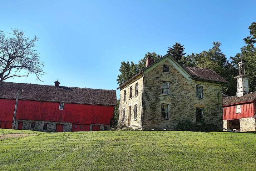
A local historical note: sections of the trail were constructed over former agricultural land that was part of the original Mayo family homestead holdings.
Nearby Landmarks
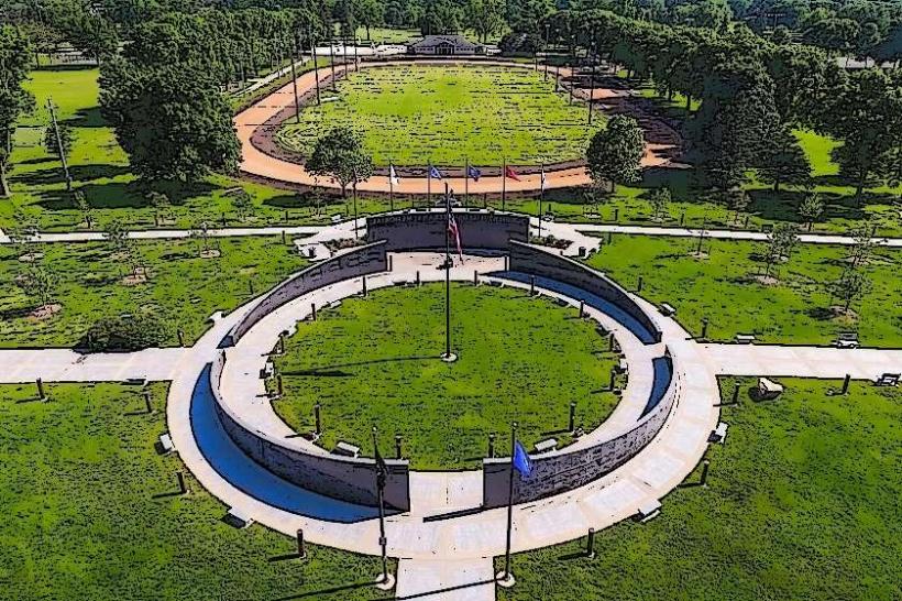
- Soldiers Field Park (0.8km Southeast)
- Mayowood Mansion (2.5km Southwest)
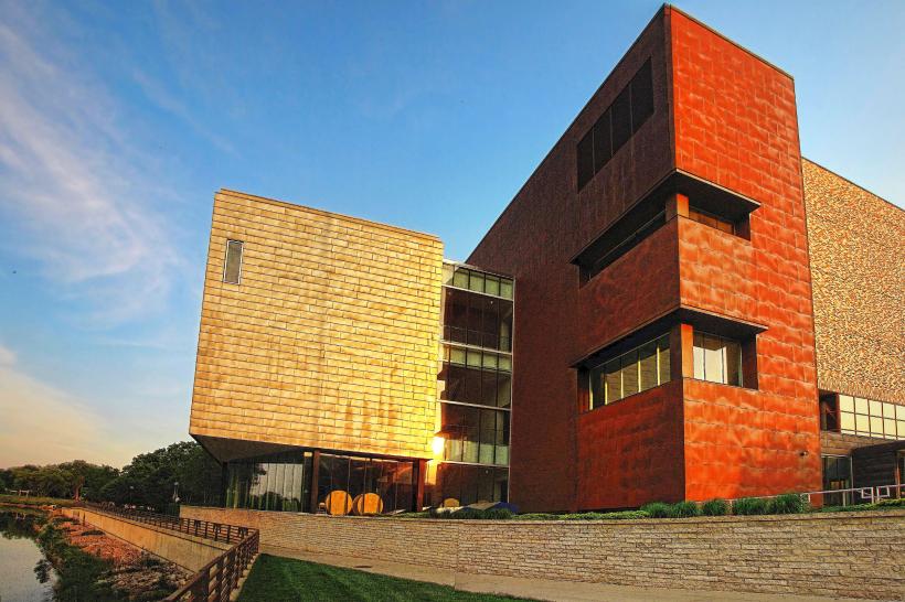
- Rochester Art Center (2.8km Southeast)
- Plummer House (3.0km Southeast)
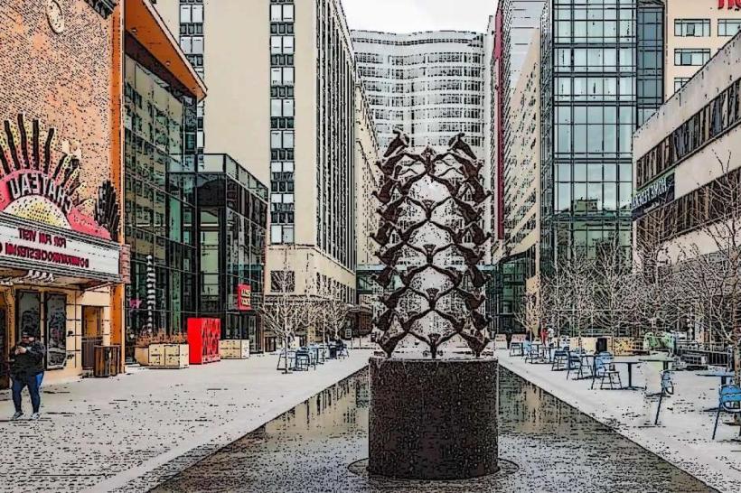
- Mayo Clinic Campus (3.5km Southeast)