Landmark: Hadley Valley Trail
City: Rochester MN
Country: USA Minnesota
Continent: North America
Hadley Valley Trail, Rochester MN, USA Minnesota, North America
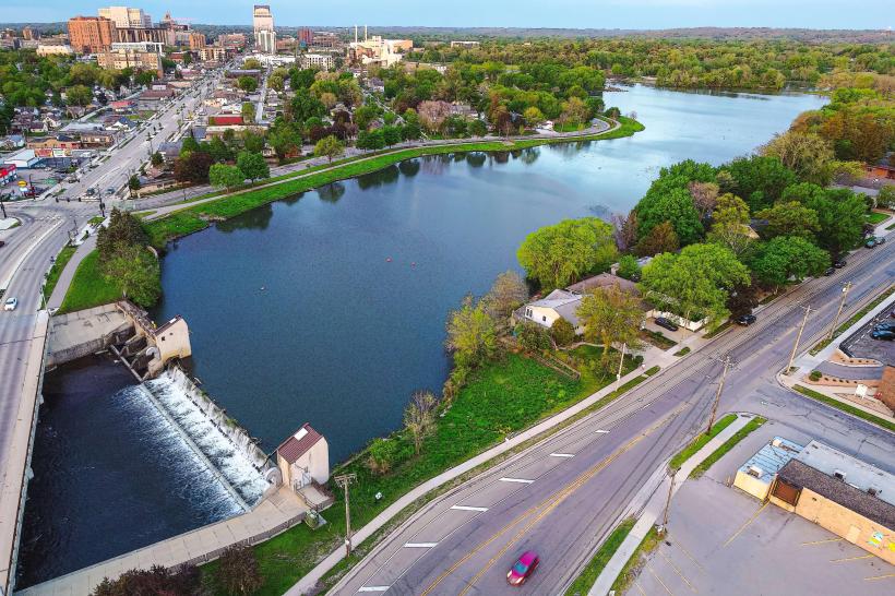
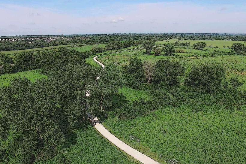
The Hadley Valley Trail is a paved multi-use path located in Rochester, Minnesota. It extends for 11.5 miles, connecting various points within the city and its surrounding areas.
Visual Characteristics
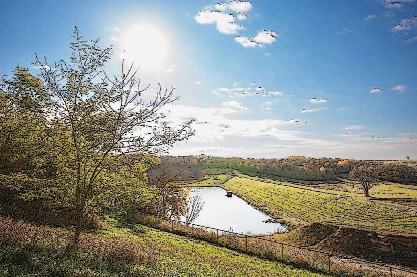
The trail is constructed of asphalt, measuring approximately 10 feet in width. It traverses through a mix of urban parkland, agricultural fields, and wooded areas. The terrain is generally flat with a few gentle inclines. Tree cover varies, providing shade in some sections and open exposure in others.
Location & Access Logistics
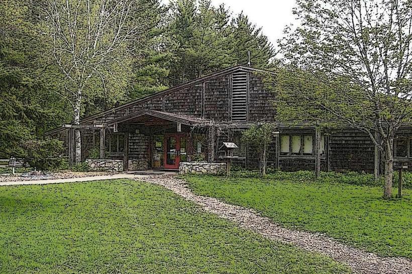
The Hadley Valley Trail can be accessed from multiple points within Rochester. The main trailhead is located at 4000 40th Street NW, approximately 4 miles northwest of the downtown core. Parking is available at designated lots at the 40th Street NW trailhead and at the Cascade Meadow Wetlands and Environmental Science Center (2100 16th Street SW), which is 3 miles southwest of downtown. Public transport options are limited; Bus Route 21 stops near the 40th Street NW access point.
Historical & Ecological Origin
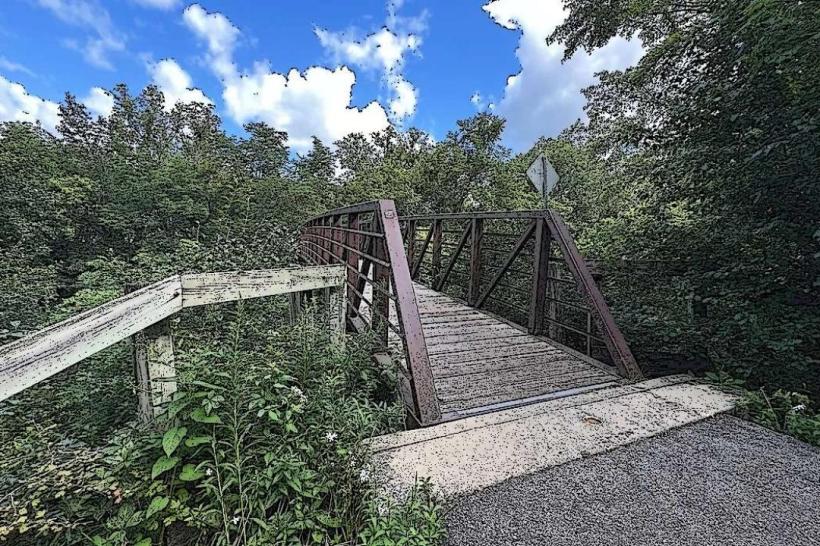
The trail was developed on a former railroad corridor. Construction was completed in phases, with the initial sections opening in the late 1990s and expansion continuing into the early 2000s. The corridor was originally established for freight transportation by the Chicago, Milwaukee, St. Paul and Pacific Railroad. The surrounding environment includes riparian zones along the Zumbro River and agricultural land.
Key Highlights & Activities
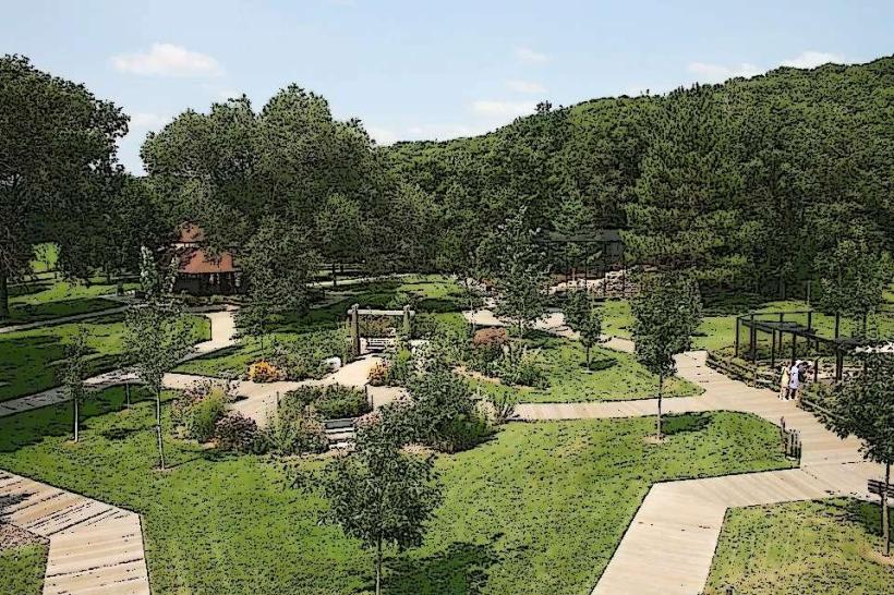
Activities include cycling, walking, running, and in-line skating. Birdwatching is possible in the wooded and wetland sections. The trail passes by the Cascade Meadow Wetlands, offering opportunities for nature observation. No motorized vehicles are permitted.
Infrastructure & Amenities
Restrooms are available at the 40th Street NW trailhead and at Cascade Meadow. Benches are located at intervals along the trail. Cell phone signal (4G/5G) is generally consistent throughout most of the trail. No food vendors are directly on the trail; amenities are available in nearby commercial areas accessible via side streets.
Best Time to Visit
For optimal lighting for photography, early morning (7:00 AM - 9:00 AM) and late afternoon (4:00 PM - 6:00 PM) offer softer light. The months of May through October provide the most favorable weather conditions for outdoor use. The trail is accessible year-round, but winter conditions may require appropriate gear for snow and ice.
Facts & Legends
A specific point of interest is the old railroad bridge abutment visible near the southern end of the trail, a remnant of the original railway infrastructure. Local lore sometimes refers to the trail as a route used by early settlers, though historical records primarily document its use for rail transport.
Nearby Landmarks
- Cascade Meadow Wetlands and Environmental Science Center (0.2km West)
- Silver Lake Park (3.5km Southeast)
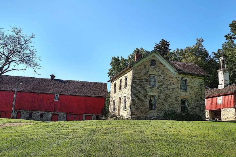
- Mayowood Mansion (4.8km Southwest)
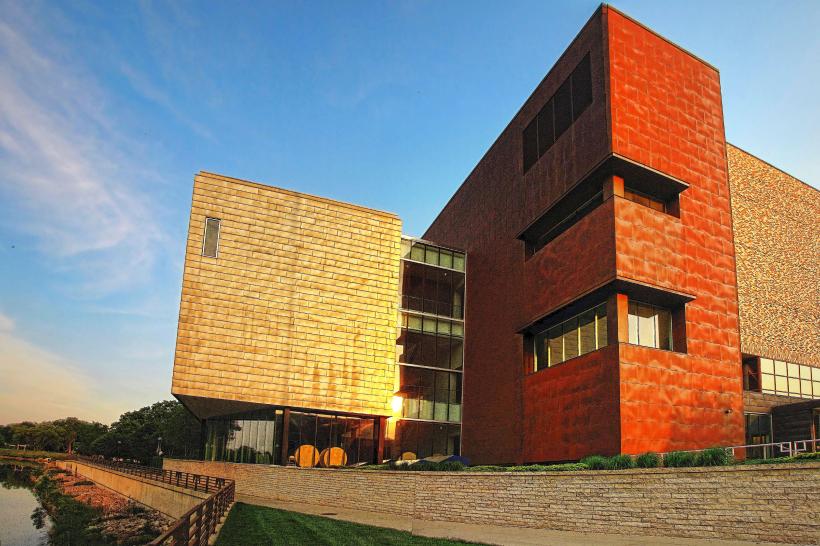
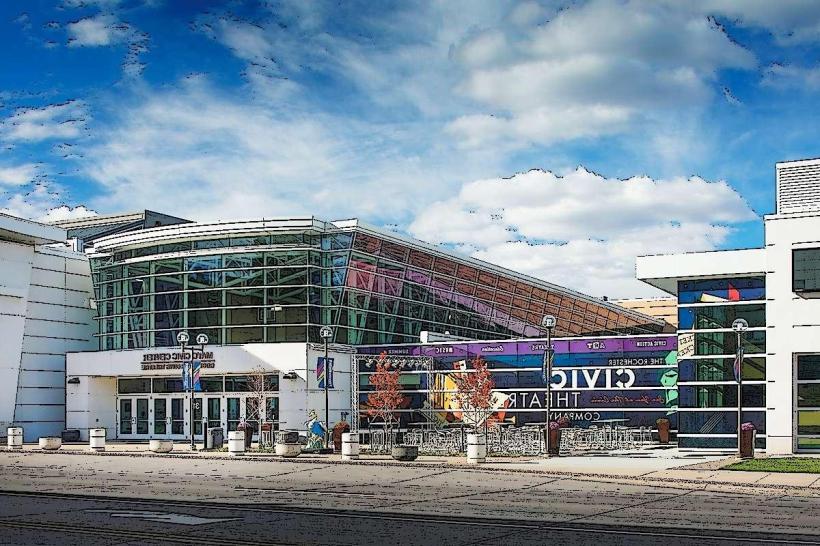
- Rochester Art Center (4.2km Southeast)
- Plummer House (4.0km Southeast)